
22/02/2026
We were originally planning to stay in Fenis a second night, but after our walk we were a bit hot and sweaty and decided we’d rather be on EHU so we could have a shower. This would save us heating the water on gas. Fortunately we knew exactly where we could go for some really cheap EHU.
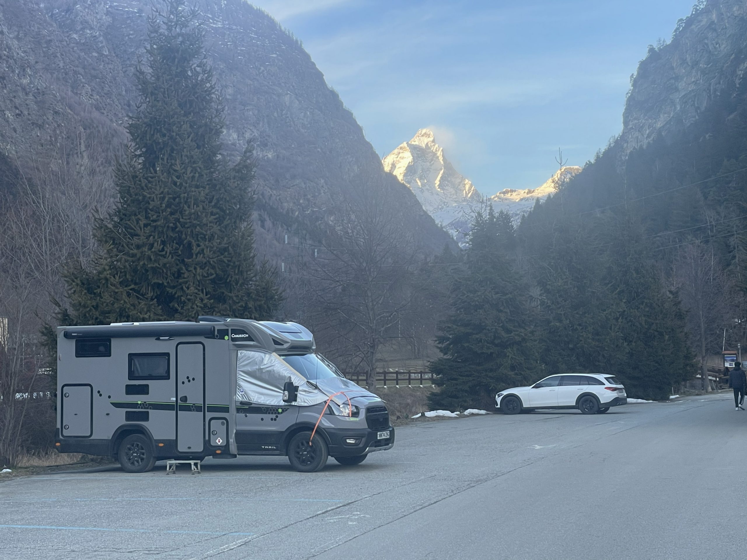
Châtillon
I’m not sure how many times we’ve stayed in this great utility spot. It’s nothing to write home about for the views and is very close to the motorway so you get the constant hum of the road (not an issue for me as I like some white noise). But it does have access to a lovely little town with some good shops, including the ever reliable Conad supermarket in cake -run distance. And it has 16 Amp EHU for the massive price of €6 per day.
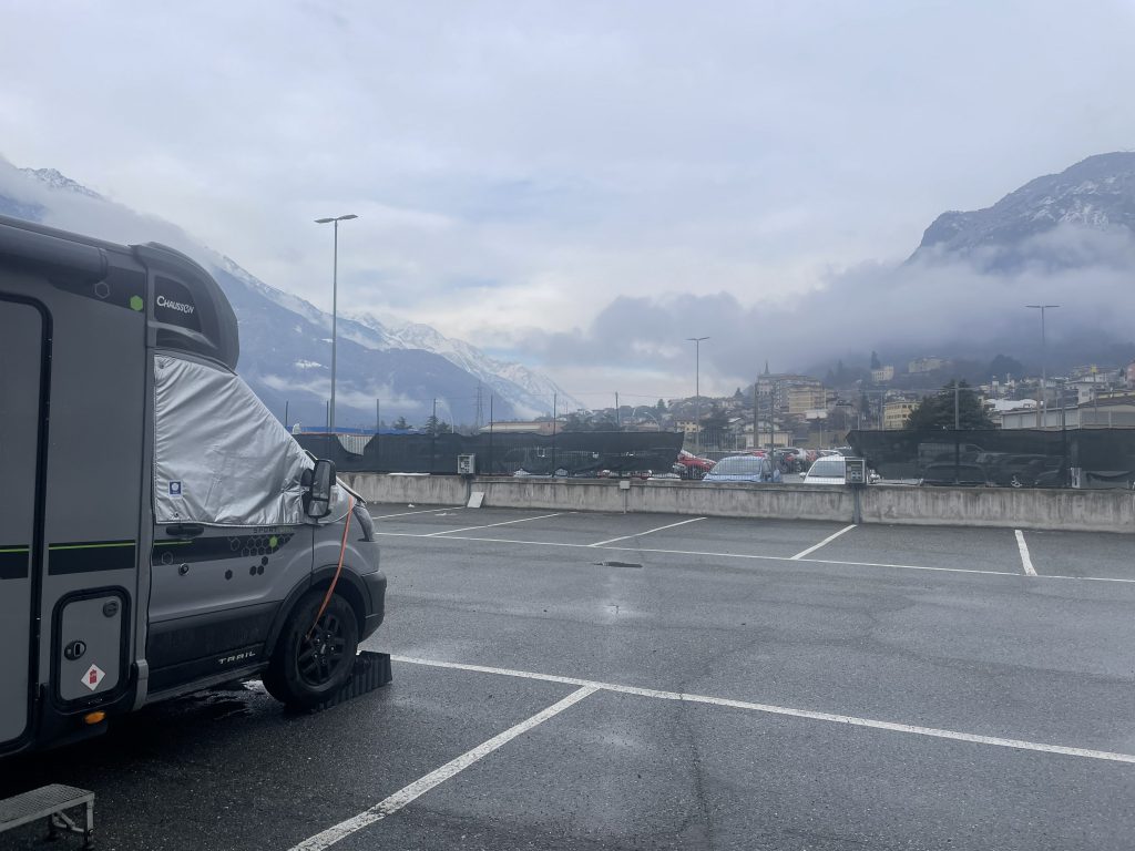
Parking in Chatillon – ok views if you ignore the foreground
So we hooked ourselves up to the EHU and turned the boiler on. While the water heated we popped up to Conad for a spot of shopping. In fact we went to Conad three times while we were here, buying for each meal and adding to our stash of Italian essentials; a large block of Parmesan cheese, some bottles of red Lambrusco wine, a decent olive oil, and some balsamic vinegar. Each time we were asked if we had a Conad card, I’m beginning to think we should get one.
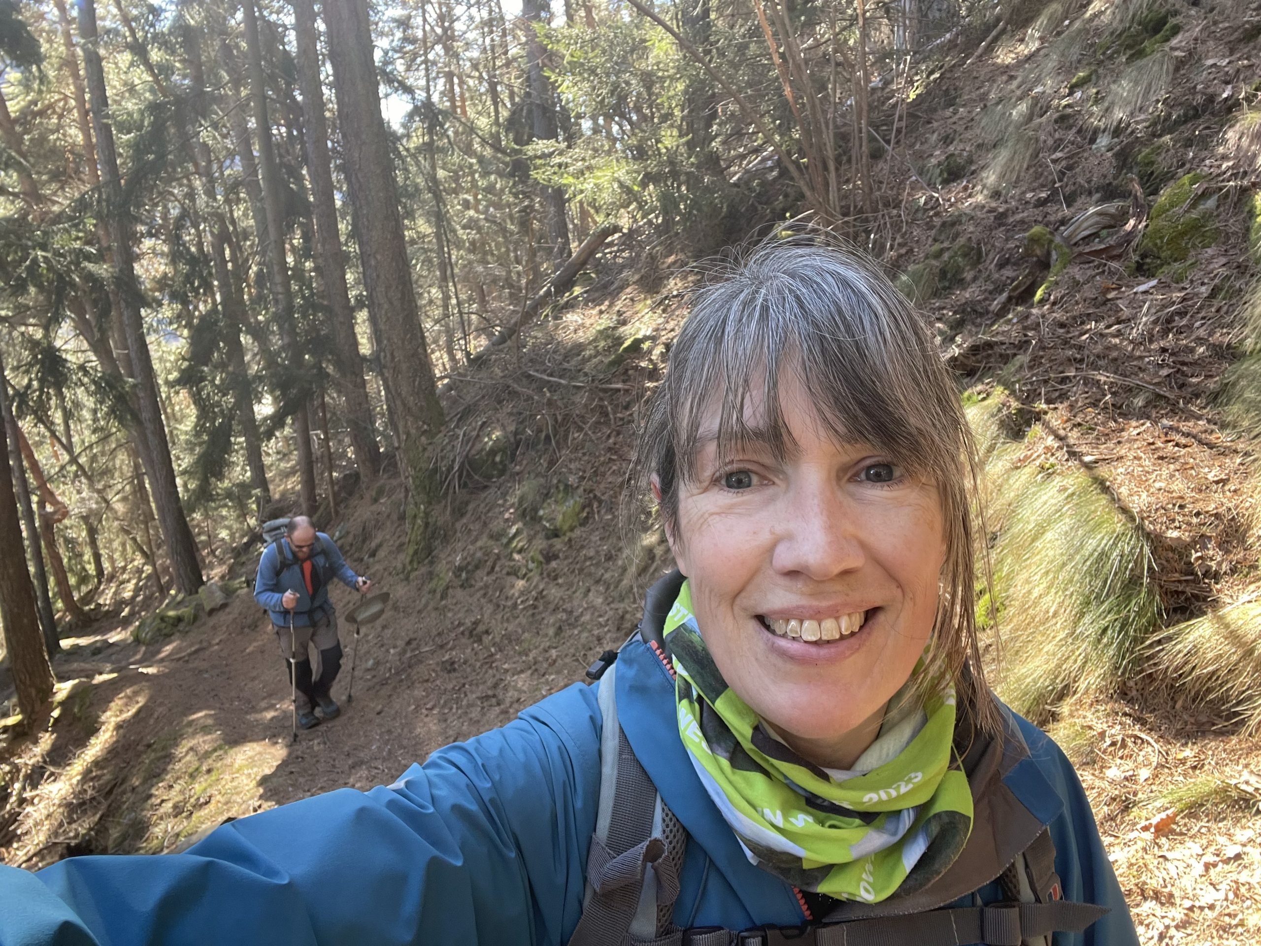
Paul decided he wanted a lazy day the next day so I took myself off for a run. I don’t go out running much when we’re away in the van, firstly we’re usually doing something active every day and secondly my running kit usually gets pretty pongy and it’s not very sociable in the van. But I wasn’t in the mood to laze around so off I trotted through the town and up to a balcony path that ran between Châtillon and neighbouring St Vincent. I’d originally planned a flat route back along the river but was tempted by a higher balcony path that followed an aqueduct under some rocky crags. This was a little more ‘interesting’ with a couple of sections over steep drop offs where steel ropes had been added. It was really nice to get out and see some new footpaths in the area and get some ideas for future hikes with Paul.
-
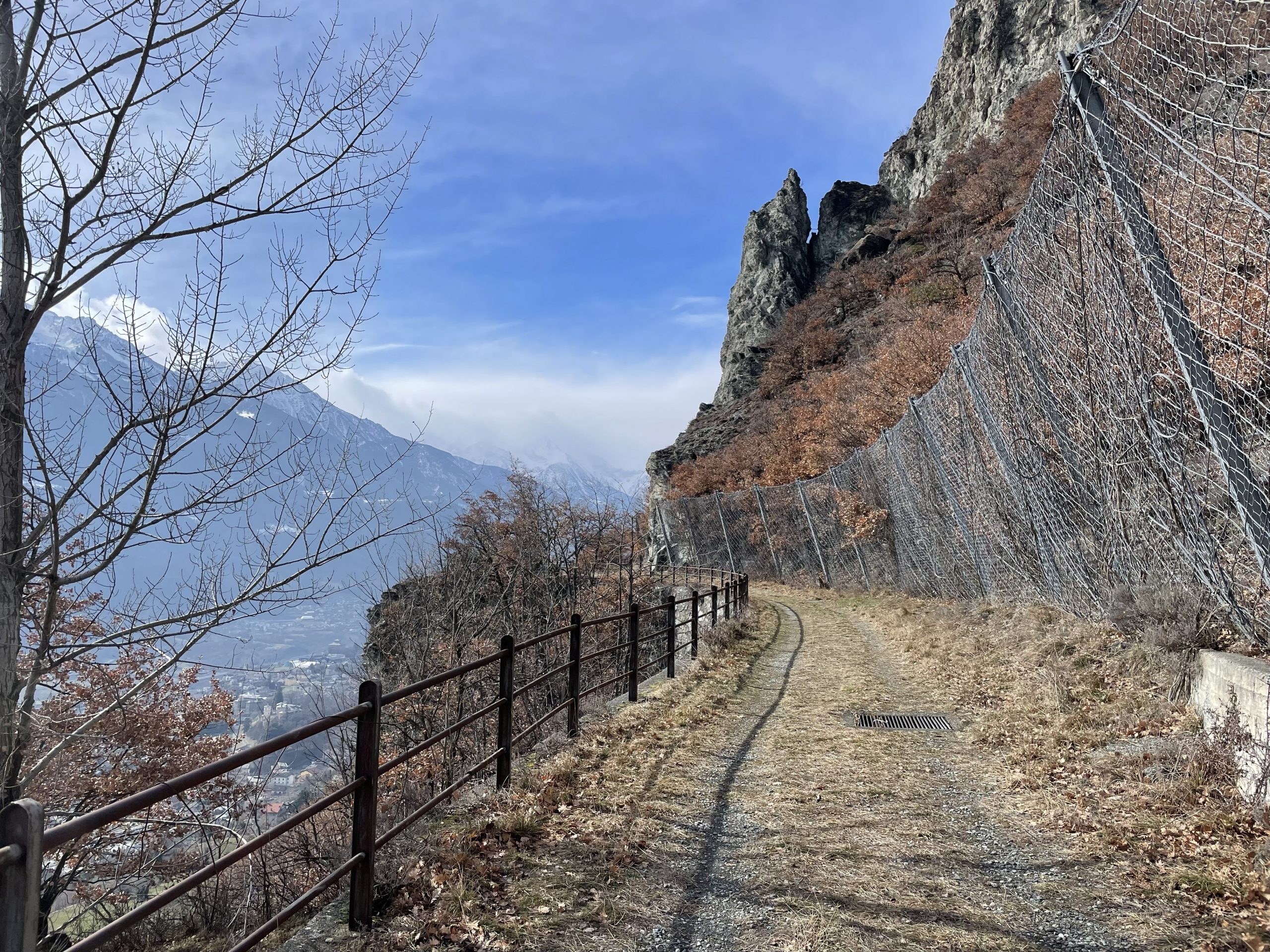
- Avalanche protection
-
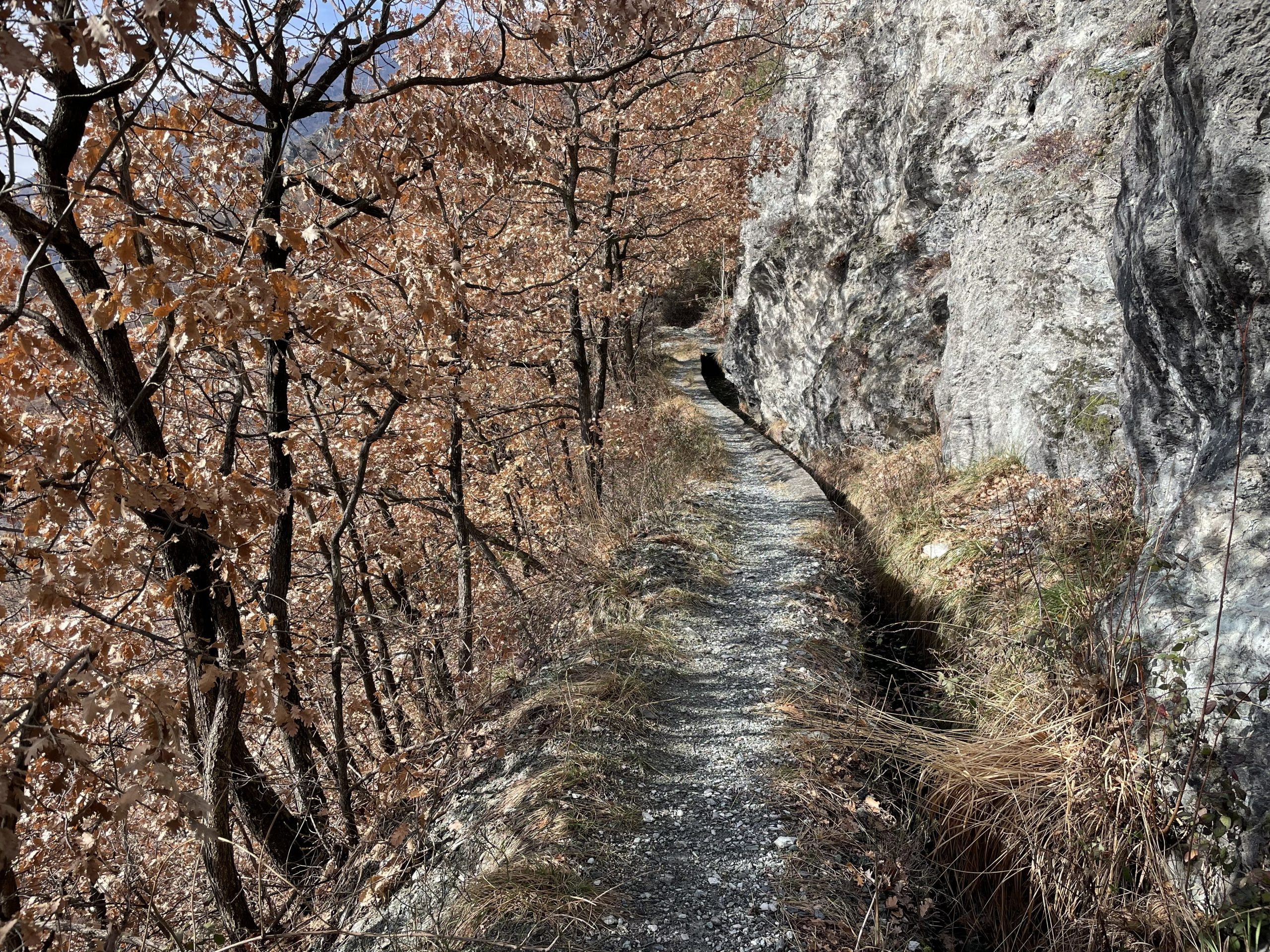
- Getting more ‘interesting’ along the aqueduct
-
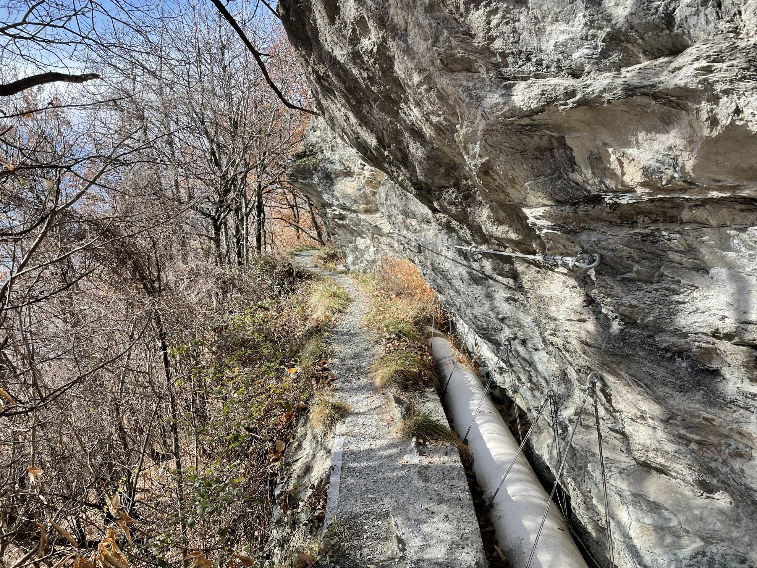
- And a bit of an overhang with a handrail for stability
We stayed a second night here so I could have a good long shower and hair wash/dry. A steady stream of vans came in to use the service point which is getting a little dilapidated these days and has lost it’s separate toilet rinse tap (somehow the pipework has become disconnected). Much as I like Italy, their municipal sostas do tend to get neglected. We take a spare 5l bottle to fill with water for rinsing the toilet cassette so that we don’t use the drinking water tap directly with the cassette.
Antey-Saint-Andre
From Châtillon we drove up the Valtournenche, the long valley that leads to Cervinia and Monte Cervino (the Matterhorn). Partway up, in the village of Antey-Saint-Andre, is another stopover where we’ve stayed before. We turned up to find that the parking now had signs forbidding campers from staying. That was a bit unexpected, but we did know that we’d seen people parked on the other side of the river before. A quick check on the P4N app and we found the spot, accessed via a bridge a short way back down the road, and a short single track road towards the sports area. In fact it was better than the original parking being a bit further from the road and with an amazing view of Monte Cervino (when the clouds disappeared anyway).
-
- Monte Cervino making an appearance
-
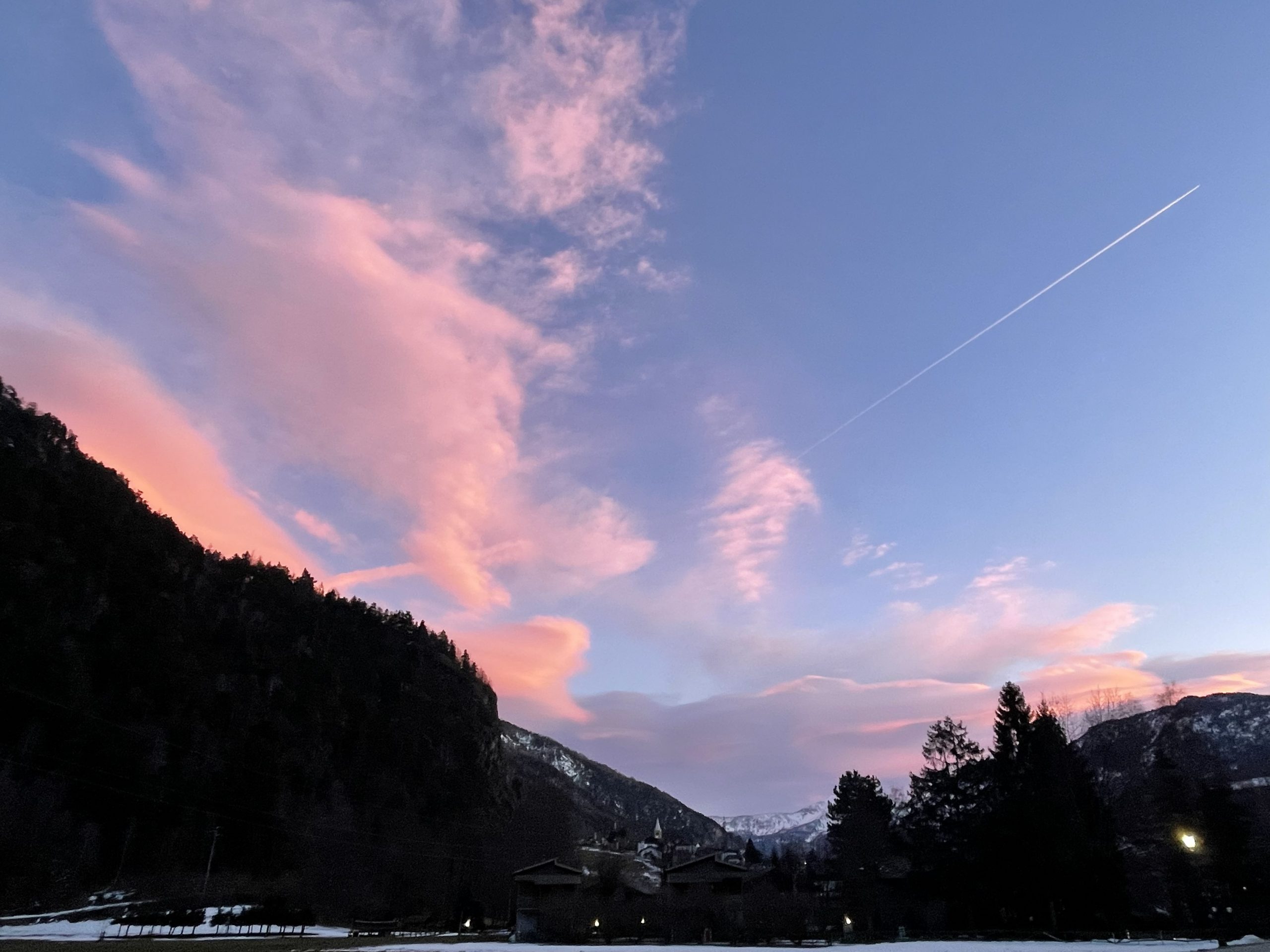
- And a lovely sunset seen from the sosta
We stayed here for the rest of the weekend, waiting for the Italian holidays to finish. We managed a couple of walks and also an afternoon of watching sport. The two Six Nations matches and the men’s curling final used up plenty of our data but were entertaining even though we didn’t get the results we wanted.
The village was busy with families strolling in the sunshine. I don’t know how many of the houses are holiday homes but among the very Italian jumble of derelict buildings, tired hotels and smartly renovated stone houses there were many ‘Affittasi’ signs. A couple of mini markets supplied us with bread and some delicious hand made grissini with fruit, nuts and chocolate. Grissini (breadsticks to us, but so much more than just bland dry sticks) are a traditional food of the areas which were once part of the region of Savoy – Piedmont and Aosta – the story is that they were developed for one of the Savoyard dukes who had a sensitive stomach.
-
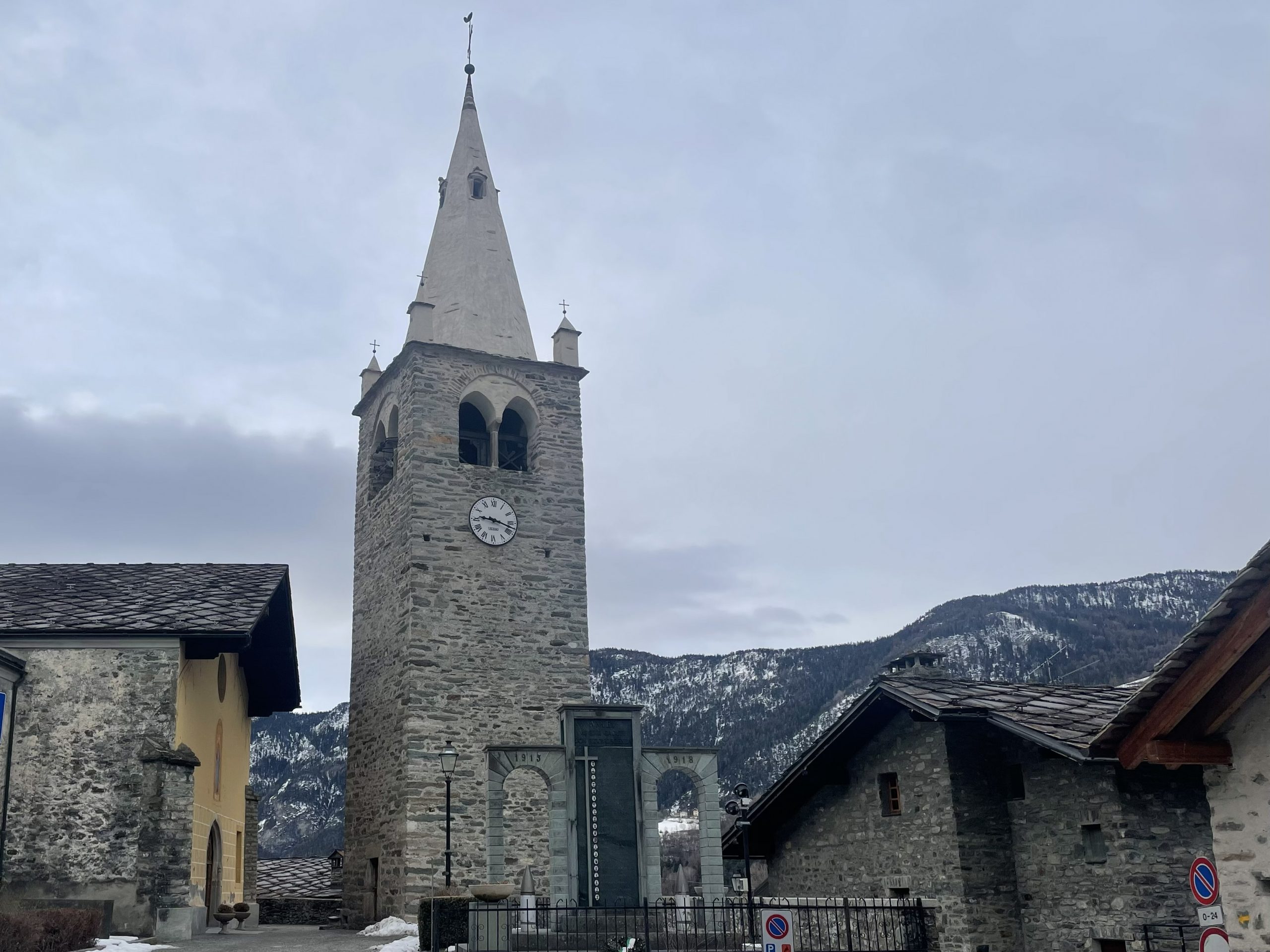
- Church and war memorial
-
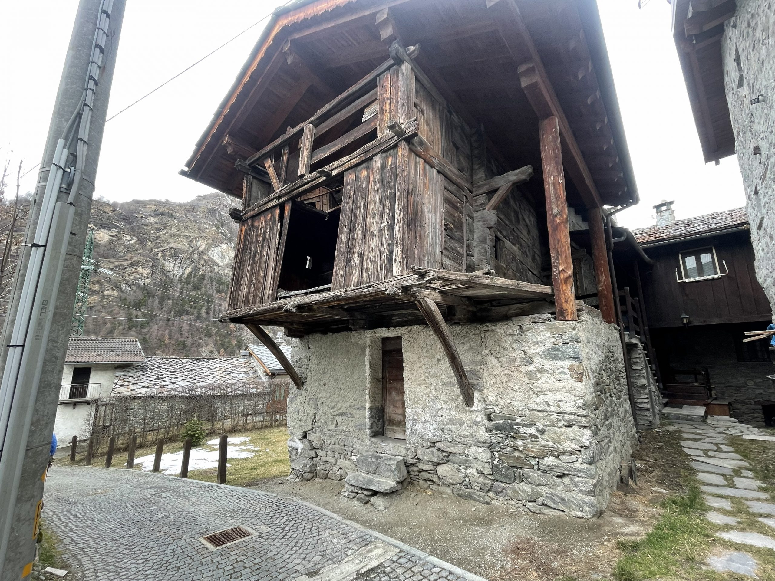
- Among all the restored buildings, a barn that has seen better days
The miner’s path from Antey-Saint-Andre
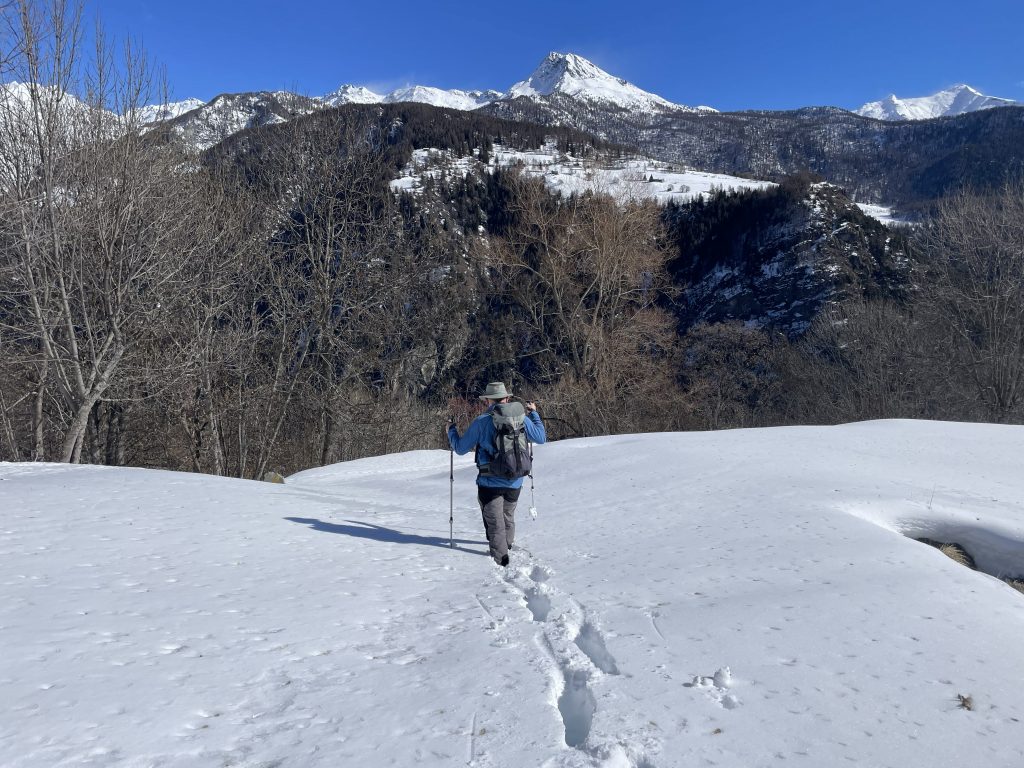
We set out on our first walk almost immediately after we’d parked up. I’d planned a specific route but we needed to check the snow line. We were already over 1000m altitude and the walk would take us up to 1600m. Back in Fenis we’d been finding snow at 900m. We perused the steep sides of the valley trying to work out where the snow was. Snow doesn’t linger on the cliffs, but in the shaded spots under the trees it could be deep, or hard and icy, and on any plateaus it could have settled quite thickly.
We knew we only had one plateau to worry about (at the top of the walk), it definitely looked a bit snowy up there. And there was lingering ice in shaded spots down in the village. So a decision was made. Microspikes were packed for any icy sections but snowshoes were left behind. Gaiters were also accidentally left behind, which we would regret later.
This was a round trip walk which ascended a steep ‘miners track’. I couldn’t find any details of what was being mined, but we found plenty of old buildings perched precariously on the cliffside. I pity the poor miners having to ascend these steep paths. There was snow and ice on the path in places but it was never enough to persuade us to bring out the microspikes.
-
- Walking up the lower slopes
-

- Snowy patches and mining buildings
At the highest point of the walk the land flattened out and as expected the snow was deep. About knee deep. And without our gaiters it was getting under our trousers and down our boots. We stopped in the village and sat on someone’s sun warmed doorstep to empty our boots.
Breaking trail
The route down looked less vertical on our map, and it’s true it was less steep. But it was far more exposed, following the tops of crags back down to the village. A few protective chains were in place. I wasn’t really sure how much help they would be but I think they may have been more to make people aware of the drops. The views down the valley were spectacular and as I picked my way carefully down the path I tried not to get too distracted.
-
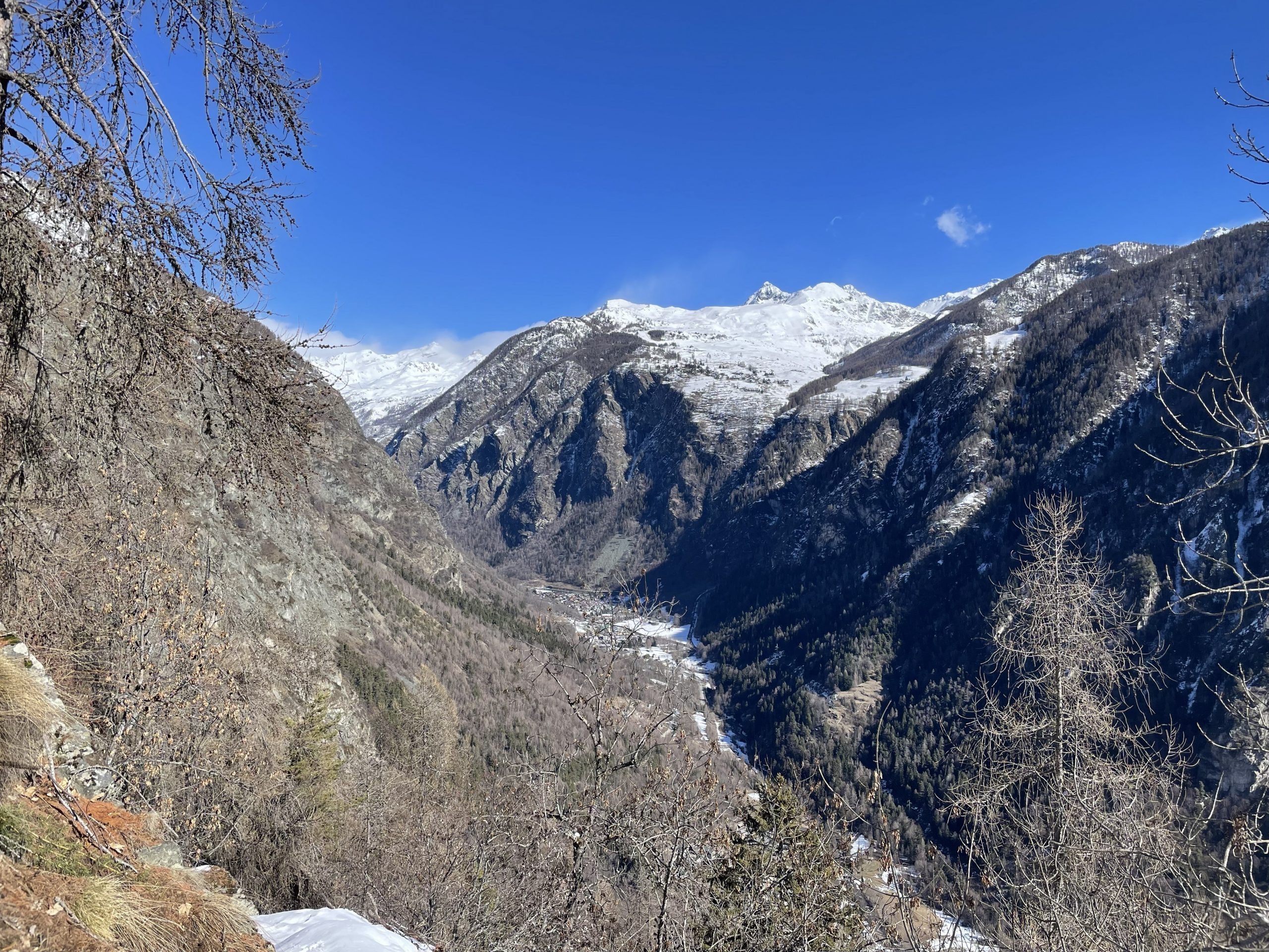
- Views up the valley…
-
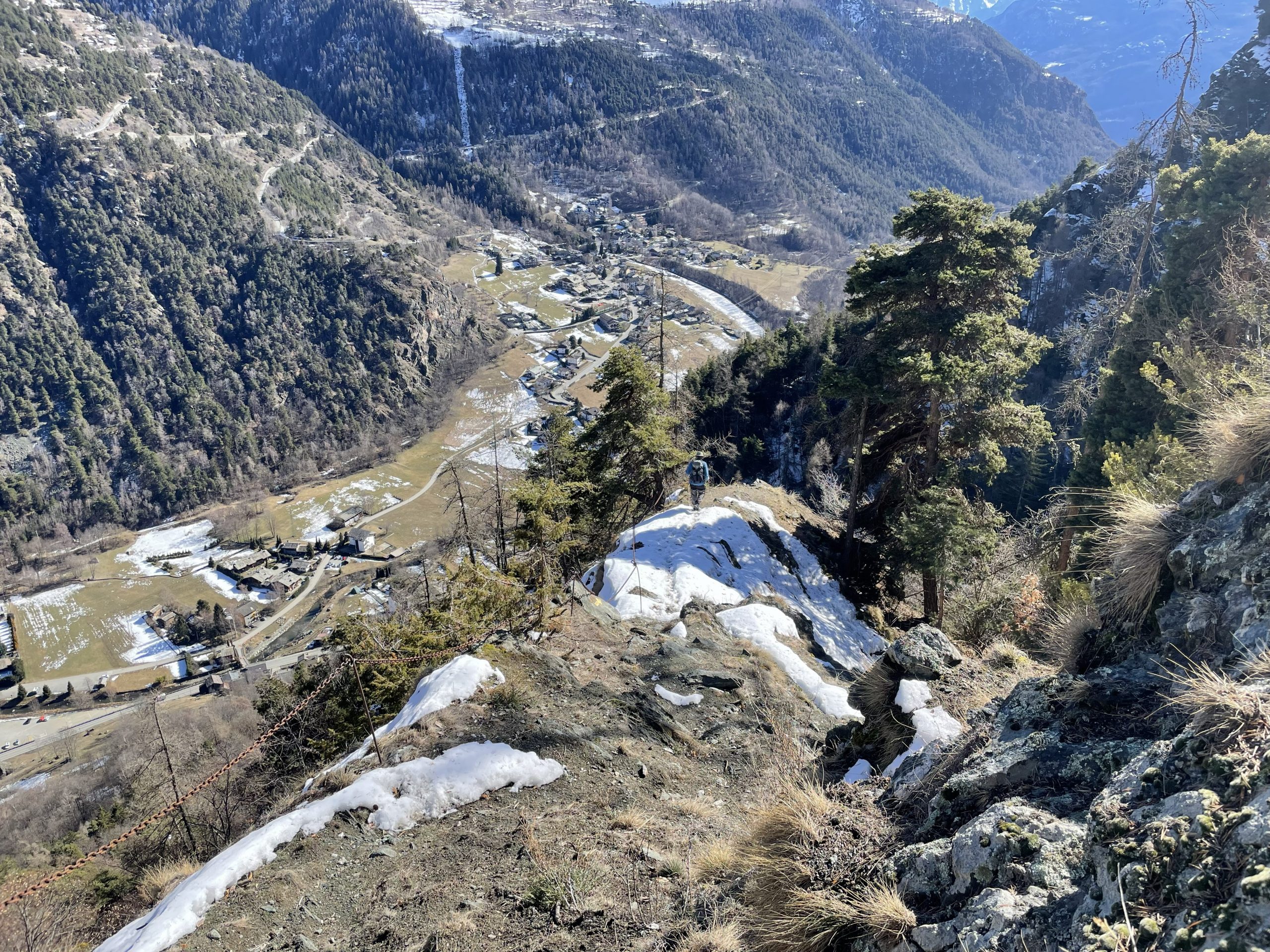
- …and back down
We hadn’t realised that we were walking below the arches for an aqueduct and if we’d just ventured on a side path we could have explored them. We’ll have to pop back for a look.
Following aqueducts
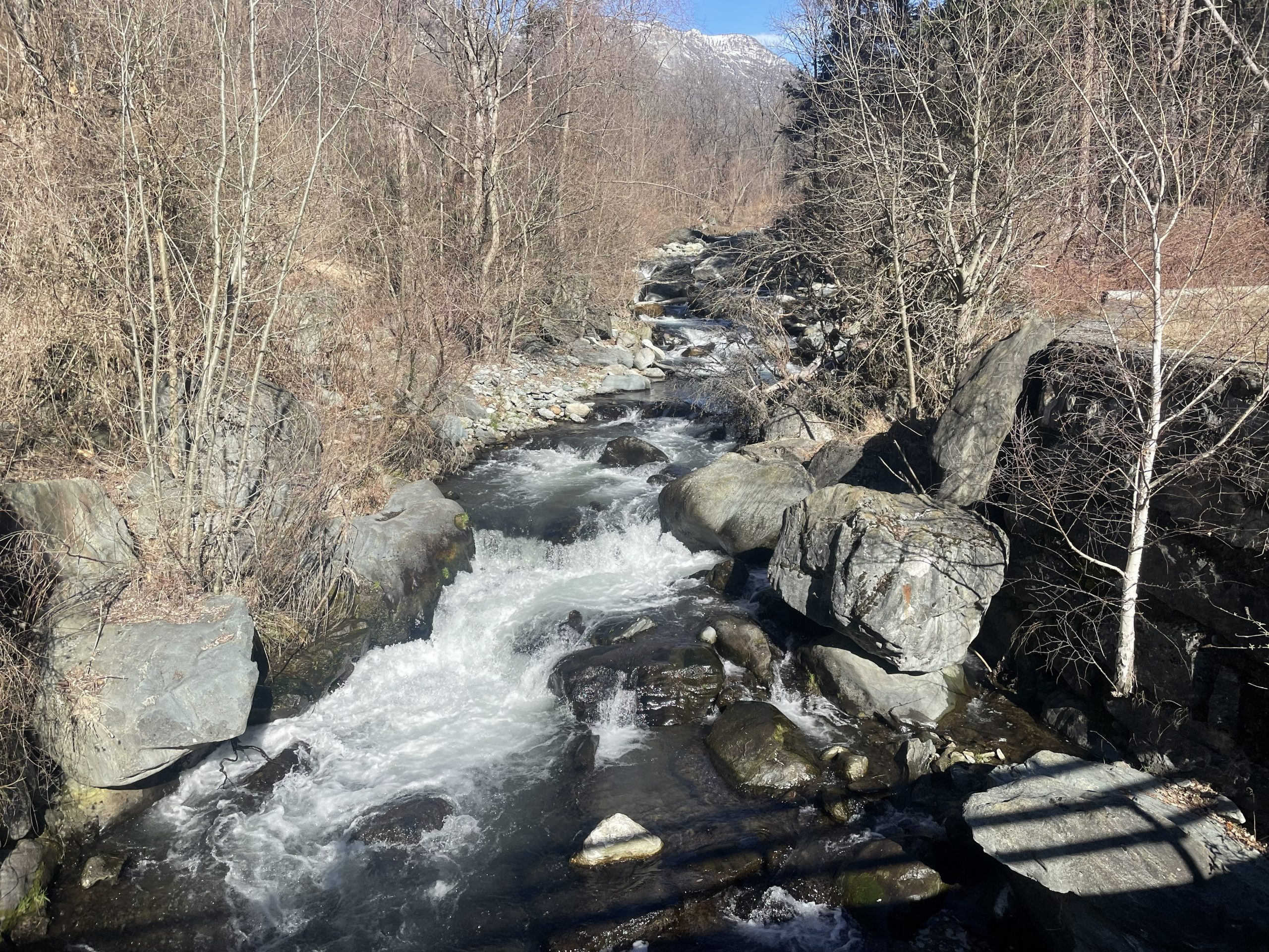
There are aqueducts and channels all through the alps and the Aosta valley is no different. It may seem a bit odd, after all there’s a massive river in the bottom of the valley, so why the aqueducts? But of course it’s easier to move water downhill than up, so the historic approach to irrigating the vineyards and orchards on the sldes of the valley was to deliver water from even higher.
Our second walk was a more sedate walk down the valley back in the direction of Châtillon. This followed the ‘Ru du Pan Perdu’, a historic route and aqueduct that once took water down to Châtillon and Saint Vincent. I had probably run next to some of the offshoots from this channel a couple of days previously. Being an aqueduct it was a lovely gentle descent. But the problem with starting a walk downhill is that you then need to walk back uphill on the way back.
-
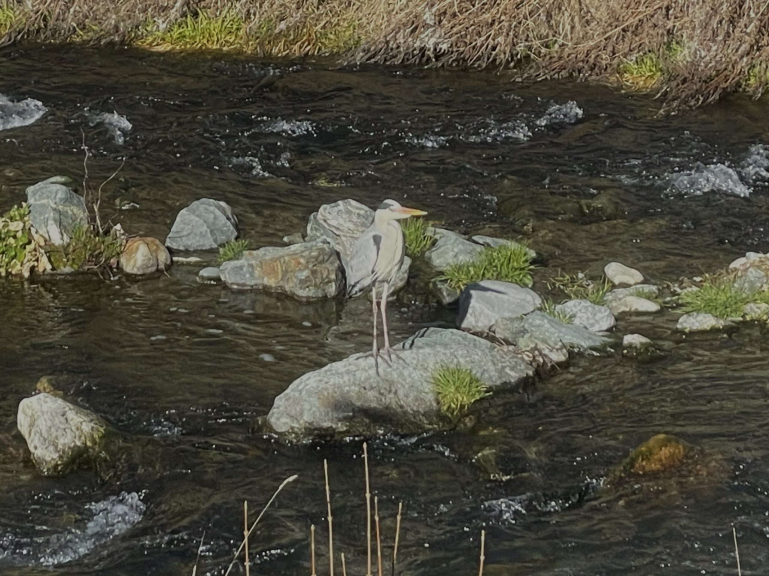
- Heron looking cool as a cucumber
-
- The Marmore river
So after we descended down to the main road (which was not pleasant to walk alongside for the few yards before we crossed) we had a climb back up the other side of the valley. We stopped for water on the way up, overheating in the strong sunshine, and could hear the unmistakeable call of a Black Woodpecker. That gave us an excuse for a longer rest as we tied to spot it. We finally spotted it on the trunk of one of the dead trees, probably having a lovely dinner of insects and grubs.
-
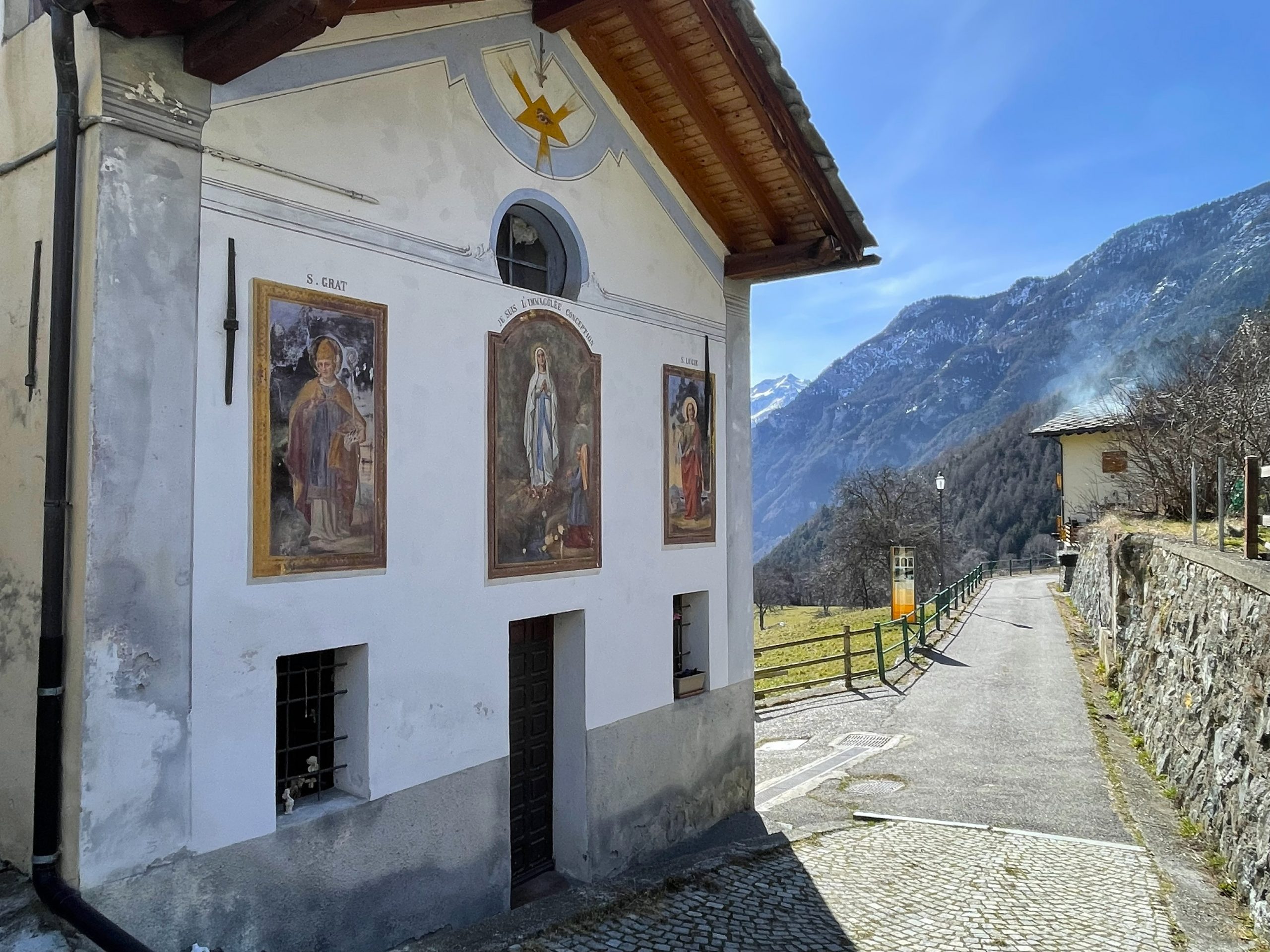
- Pretty frescoed chapel
-
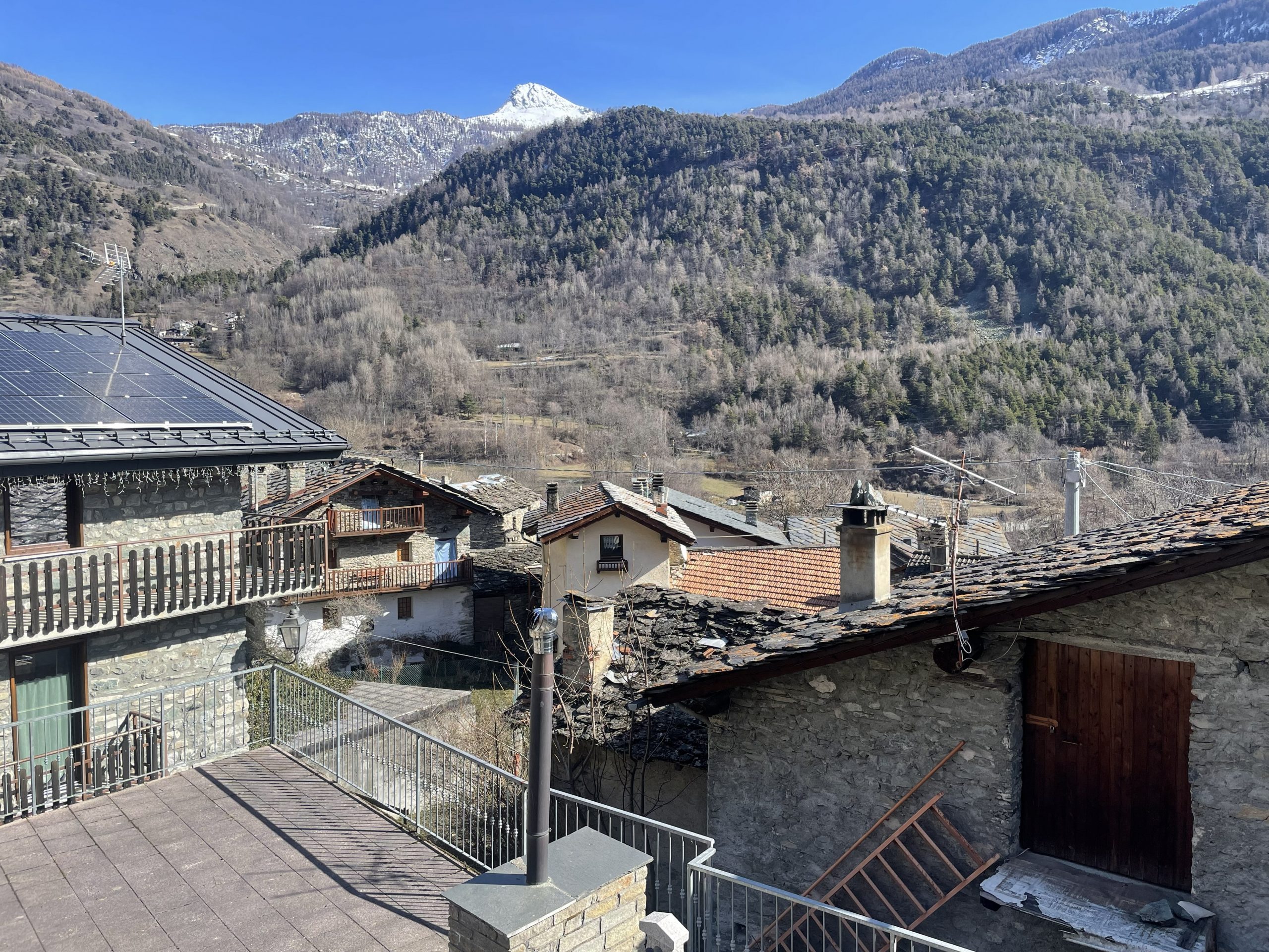
- I love the tegole (tiles) on the roofs of the buildings
There was another village at the highest point of this walk, with it’s buildings scattered down the hillside. We had to walk through someone’s garden to get back onto the path and make our way back down to the village.
We’d enjoyed our hiking interlude, but were really keen to get back on the piste now that the main holiday period was over.