13/09/2023
Our drive to our next stop was a pretty arduous one. We were heading into the Val d’Herens. It’s a pretty motorhome unfriendly valley with a website that says ‘It should be noted that according to article 54 of the municipal regulations: “camping, caravanning and any similar activities are prohibited outside the authorized pitches expressly designated as such by the authority”. In case of infringement you risk a fine of up to 500 CHF.’
But we had read on S4S that it was possible to park up at the dam at the head of the valley, and we saw that it was a pretty impressive spot. So off we drove, threats nonwithstanding.
On the way we had to refuel Bertie. It was our first refuel in Switzerland and the price was steep; 2.10 CHF a litre. I tried not to think about the cost as I went into the fuel station in Sion and presented my credit card. We haven’t been driving massive distances so hopefully we wont have to many Swiss refuelling stops.
The road on the way up snaked around the edge of the valley. Multiple roadworks were ongoing and the sat nav directed us a bit of a roundabout route past the very distinctive natural rock formations of the Pyramids d’Euseigne. Sadly we couldn’t get a good view or photo as all the parking spots were taken over by road repair materials but if you want to see an example then google these weird geological features.
The final part of the road was a single track set of switchbacks that tested Bertie as we rose up above the 2000m marker, an altitude we rarely reach. We encountered a descending bus, luckily at the start of the switchbacks, and made a mental note to check the bus times when we left. Swiss postbuses manage to find their way to all sorts of unexpected places and they aren’t the minibus size I was expecting.
Finally we found some parking, settled Bertie and walked further up the road to see what was what. There is a small tourist information, a hotel, a cable car to take people to the top of the dam and an exhibition. On the way back we noticed that there was actually motorhome parking indicated in another car park, one more switchback up the road. There are no services here, but parking is free and tolerated. We were in the company of a few other campervans and one overland truck who had made the ascent to this parking spot at 2100 meters above sea level.
The Grande Dixence Dam
Before we moved Bertie we walked to the bottom of the dam. The Grande Dixence dam is 285 meters tall, which makes it the 7th tallest in the world. But more importantly it is the tallest gravity dam in the world. This is an impressive accolade, but Paul and I were not entirely clear what a gravity dam is. We surmised that maybe it was because all of the water feeding into the dam was fed in under the power of gravity rather than pumps, but this is not the case. It’s a gravity dam because of the way it’s constructed, so that the force exerted by water on the dam is resisted by the dam’s foundation and the weight of the dam itself.
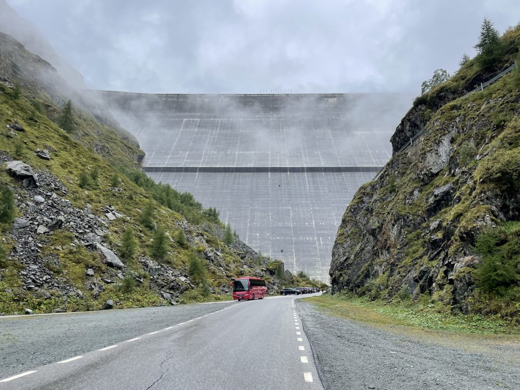
The first parking we found at the bottom of the dam
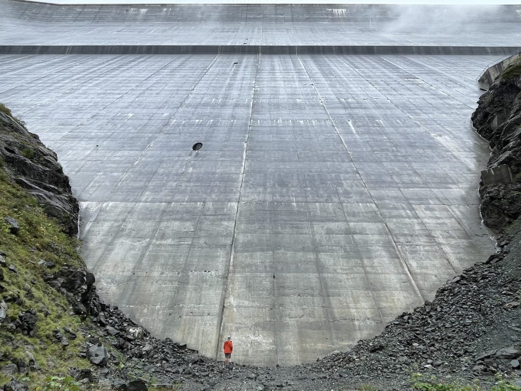
Standing below the dam
This led us down a rabbit hole of different types of dams. I suppose I had always though there was just the one type, but no; concrete arch and embankment dams seem to be the other main types of dams.
The construction of the dam you see today completed in 1961 (with some additional work done in the 90s). It was triggered by a growing post-war demand for more power and the construction superseded a dam from the 1930s that was already in place (and is now under the waters of the current lake). The theory was that the glacial meltwaters that provide the main input to the Lac des Dix would never run dry. I wonder how they feel about that now, more water must be being fed into the system than ever before as the glaciers melt more each year, but drier winters and glacial retreat must be bringing the end in sight.
It’s hard to imagine the scale of the construction in this remote place. A whole community built up over the construction period, made up of Swiss, Italian and French construction workers. In the small exhibition centre you can see a film that would have been shown in cinemas at the time and some talking heads of the workers looking back on their time working on the dam, talking about the relationships they formed and their pride in the work they did. Photographs of workers in the snow and ice of winter bring home just how inhospitable the working conditions must have been. One of the things we had never considered was that the construction was not what you can see. The visible feature is the wall of the dam, but they also had to dig many tunnels to feed the water from other locations in the alps (Zermatt and Arolla to name just a couple) and also feed the water down to the valley where it is used for generating power. We were too late to book a tour, but you can go inside the dam which must be an amazing experience.
Walking the Sentier des Bouquetins
After a quiet night we got up the next morning to take a walk. The sky was grey and the tops of the mountains were shrouded in mist. It was the coldest morning we’d had in a while and it had us questioning whether we’d made the right choice of bedding for our trip.
We were up at the cable car for opening time and bought ourselves two return tickets to the top of the dam. The quaint little lift took us quickly up to a platform with a cafe on the top of the dam wall where we could see very little in the mist that was swirling around us. Fingers crossed it would lift later as the day warmed up.
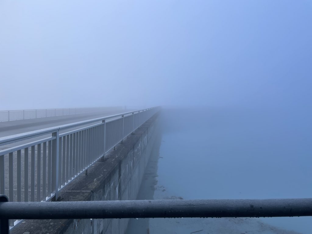
Not a lot to see as we started our walk
The yellow signs for the footpaths stood out in the grey surroundings and we set off on the Sentier des Bouquetins. This is named for the Ibex that inhabit this region. We were very hopeful that we might see some on our walk, but we had no luck, quite possibly they were stood around us in the mist.
The route took us away from the dam on the rocky flanks of Mount Blava and around to the Prafleuri valley where we climbed a rocky route alongside a ‘torrent’ that gurgled beside us. A small concrete dam part way up the valley indicated where the water was being fed away from this stream into the Lac des Dix. No bit of water to be wasted here.
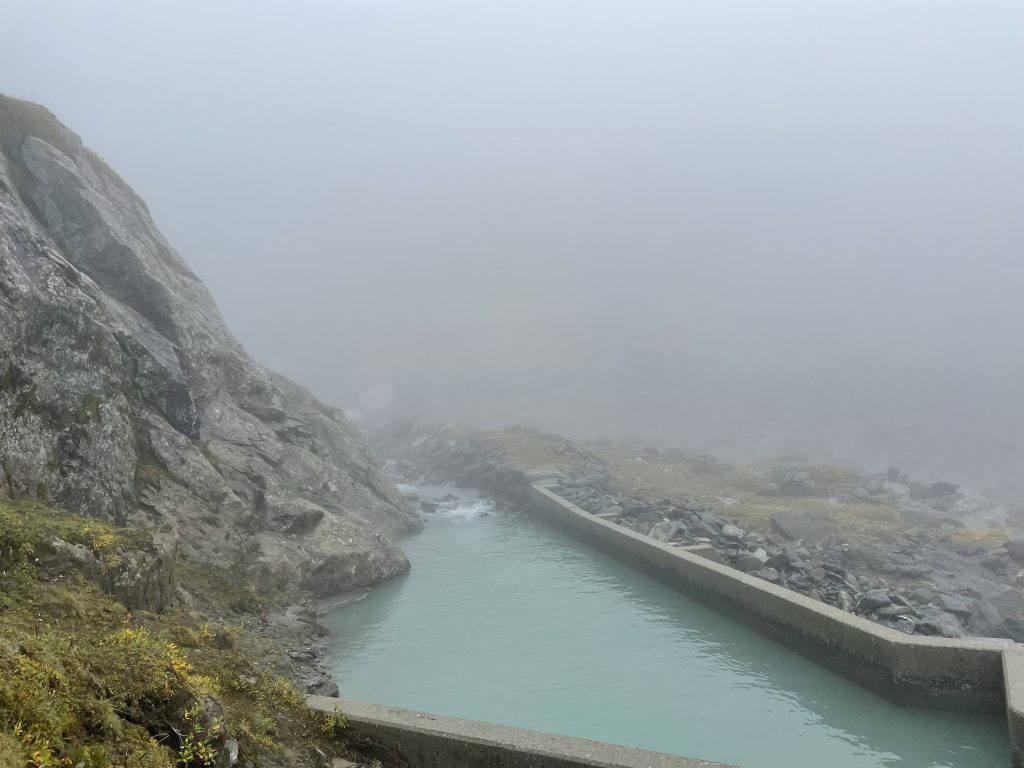
Collecting more water to feed the reservoir
As we climbed higher we finally saw the dull grey of the sky brightening and eventually we walked out of the cloud into brilliant blue skies. There is nothing quite like being above the clouds.
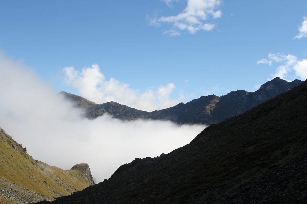
Leaving the clouds behind
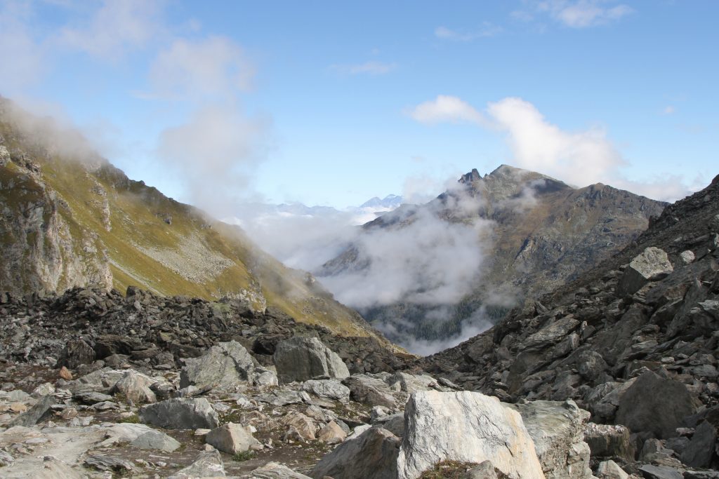
Final wisps of cloud
We stopped for a break near the Cabane de Prafleuri in the remains of the quarry where construction workers once ground the boulders of the glacial moraine into gravel to make the concrete of the dam. Above us we could see the small Prafleuri glacier.
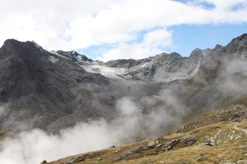
View of the Prafleuri glacier
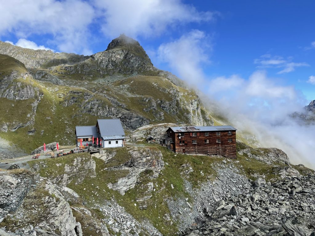
Cabane de Prafleuri
The final part of the ascent was to the Col des Roux where we finally had views of the Lac des Dix and more glaciers at it’s far end. Below us broken clouds were still swirling around occasionally obscuring the view. We stopped again to see if we could spot Ibex, but all we could hear was the peeping of marmots and as we descended we occasionally saw them standing guard outside their burrows..
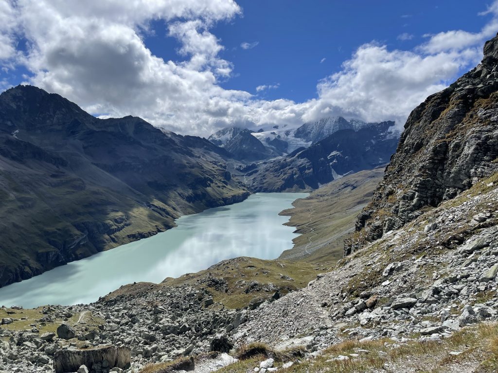
View of the Lac des Dix and glaciers
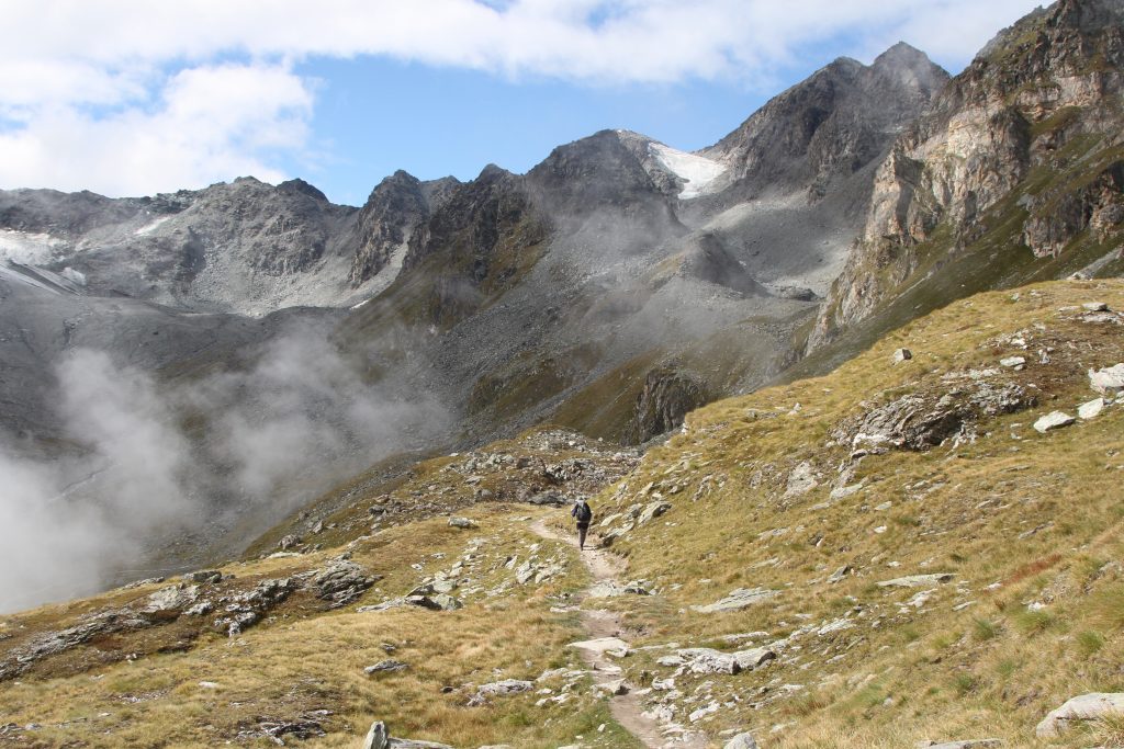
Descent
There were more people around now. When we reached the track that runs along the western edge of the lake it got positively busy. The final part of our walk was back to the dam along this track and through tunnels dug by the construction workers. With improved visibility we could look over the wall of the dam to see people below. A few climbing routes with artificial holds run up the side wall of the dam (not scaling the full height) and we saw people on the zip line that zooms across it’s face.
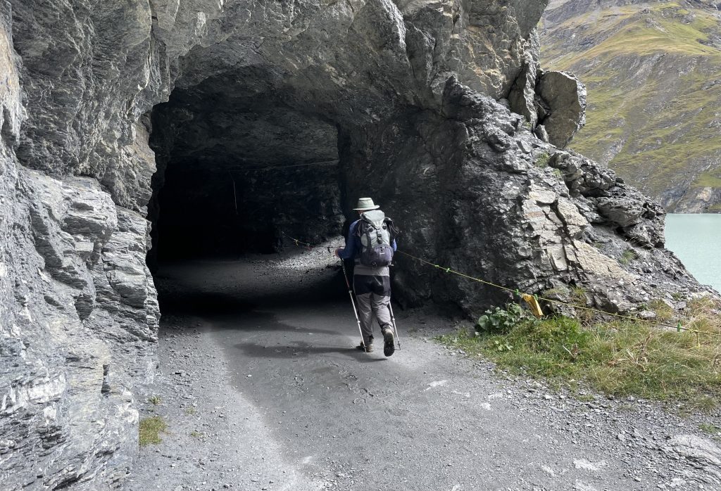
Tunnels on the reservoir path
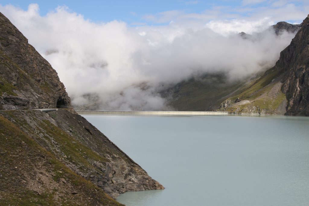
Grande Dixence dam and swirling clouds
.
