
14/09/2025
We drove on via the E6 to do some shopping at Storslet. With cupboards re-filled we set off for our next destination.
Island Journey
Because this is Norway, a country with over a quarter of a million islands scattered around it’s long and squiggly perimeter, the journey involved crossing water. First was a drive under the sea, through a tunnel with some interesting pink lighting at the mid point. This took us to the island of Kågen.
A long narrow bridge then took us across to the island of Skjervøya. Luckily we could see all the way to the far side as the bridge was only wide enough for one vehicle, with just one passing space in the middle. We were only here on Skjervøya because it was the closest motorhome service point. Once we were done with emptying and filling we were heading back across the same narrow bridge.
View of the bridge from our walk
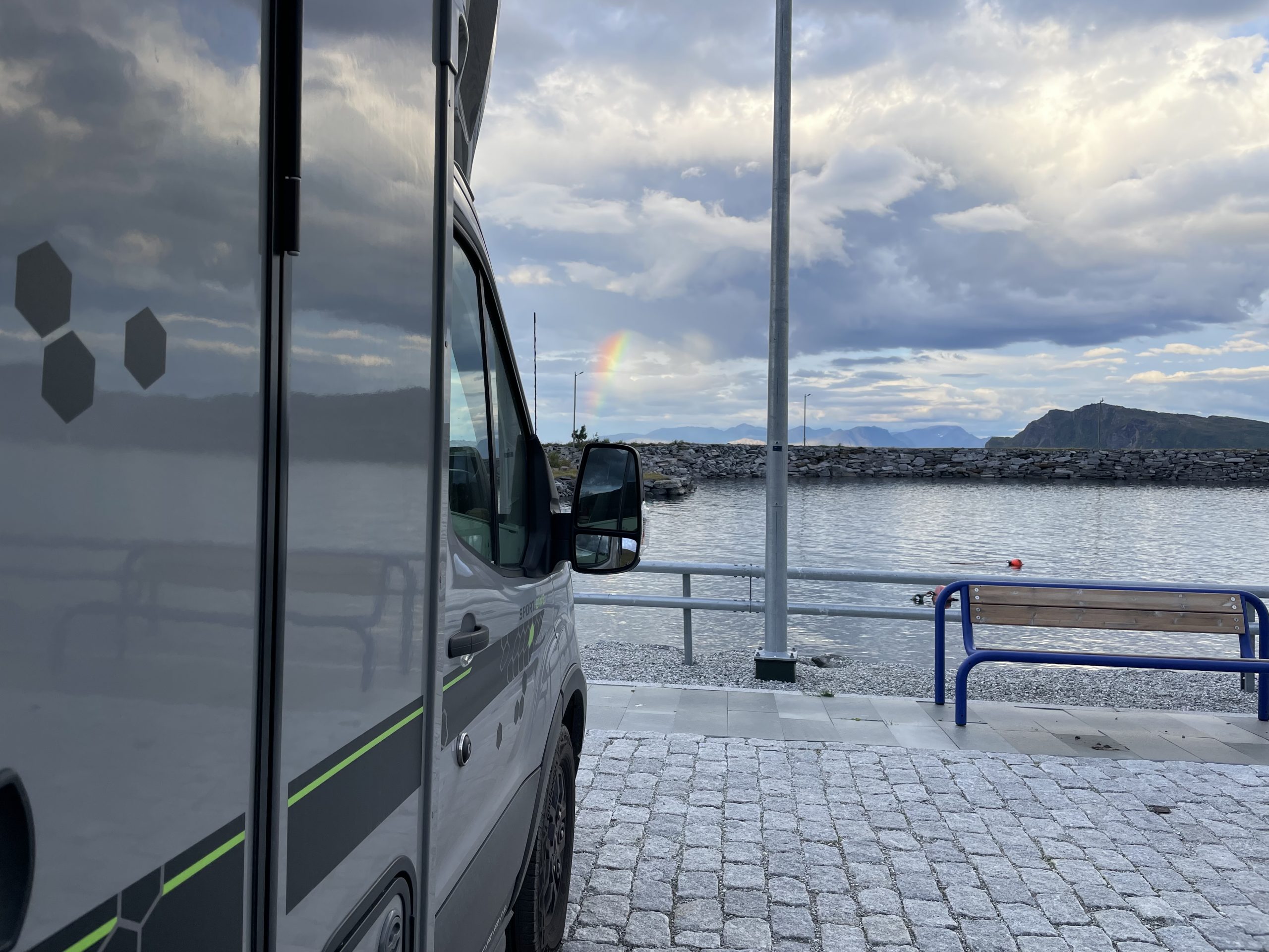
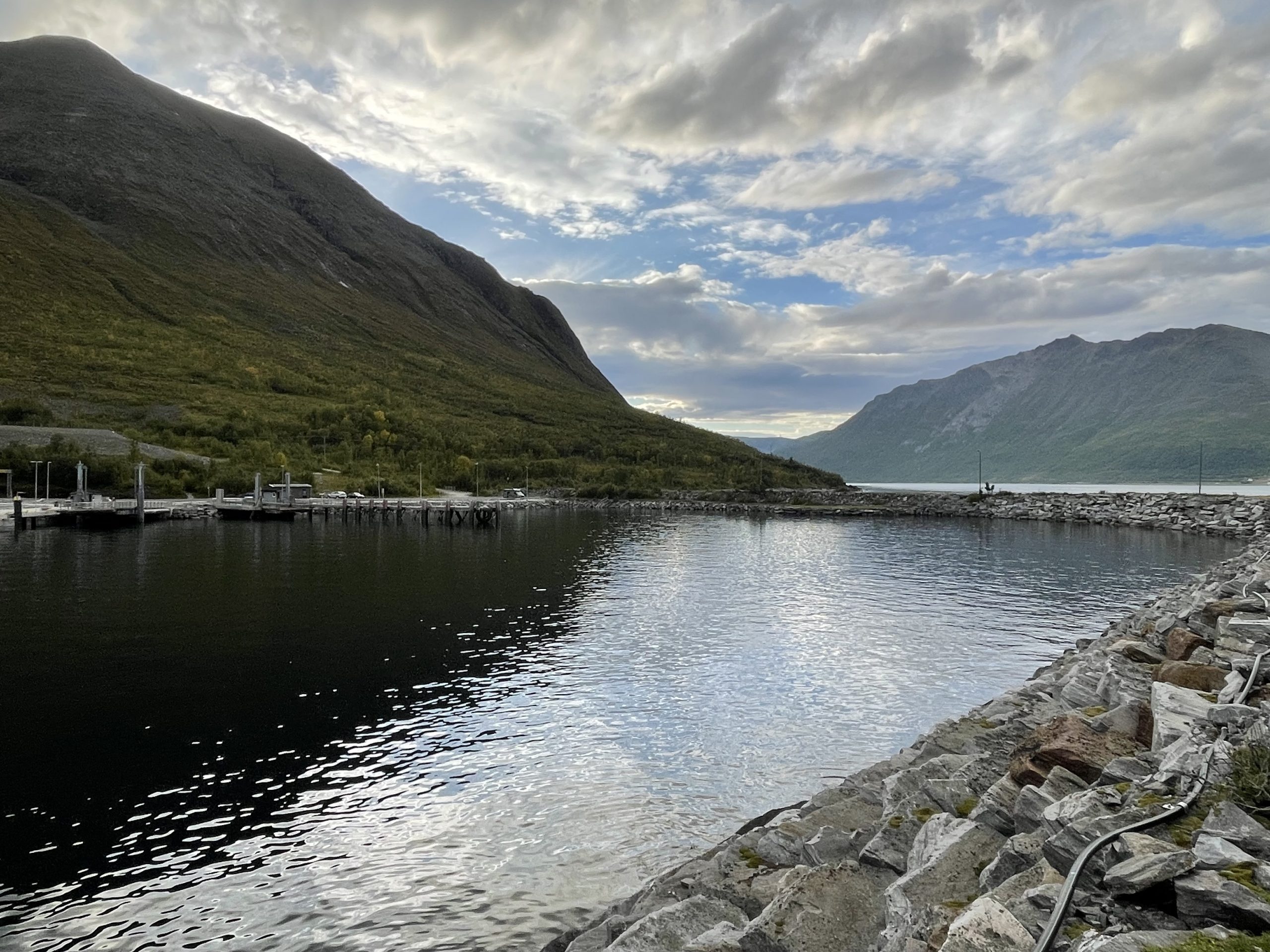
Parking at the Ferry Terminal
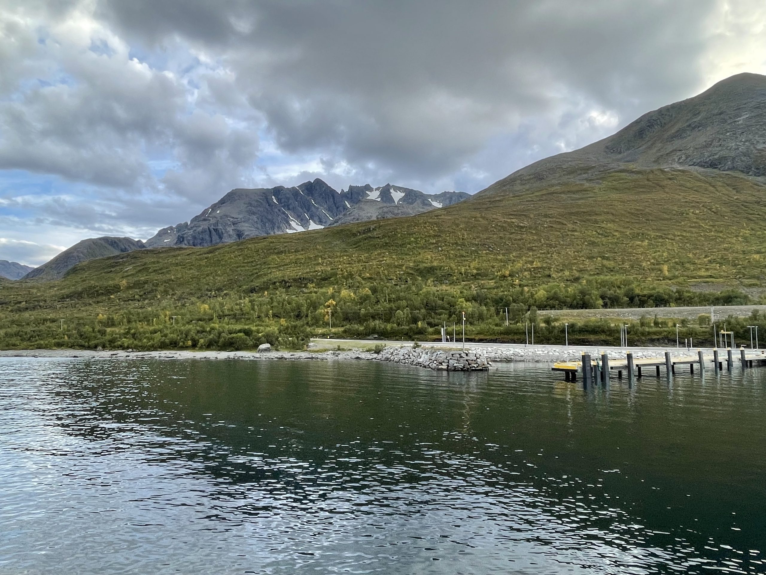
Back on Kågen we made our way north to the ferry terminal. This was as far as we were going. Crossing the sea again wasn’t in our plans. The small car park here was free and we had a walk planned up the mountain behind us.
It was a lovely afternoon so we had a walk along the breakwater in the sun. Paul, as usual, was looking for the prime fishing spots. Having ascertained that the water was deep and there was plenty of marine life, he got his fishing stuff out. He managed to catch a keeper that evening, a lovely bit of coley that we had for our dinner. I watched the ferry ply back and forth and relaxed with a bit of reading.
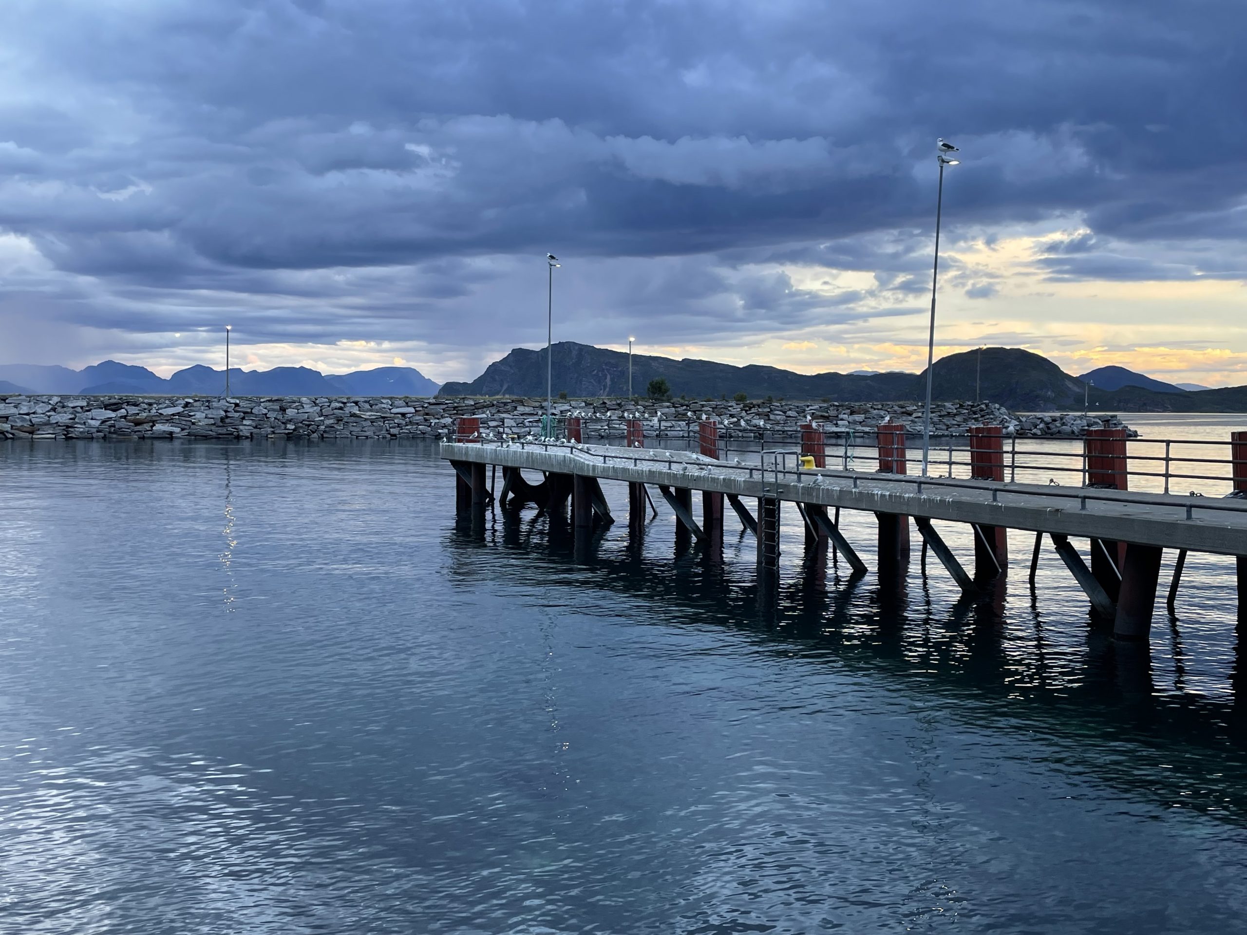
We had a quiet night here, only woken by the sound of the first ferry in the morning getting ready to leave and a few cars and vans turning up.
-
- Parked up
-
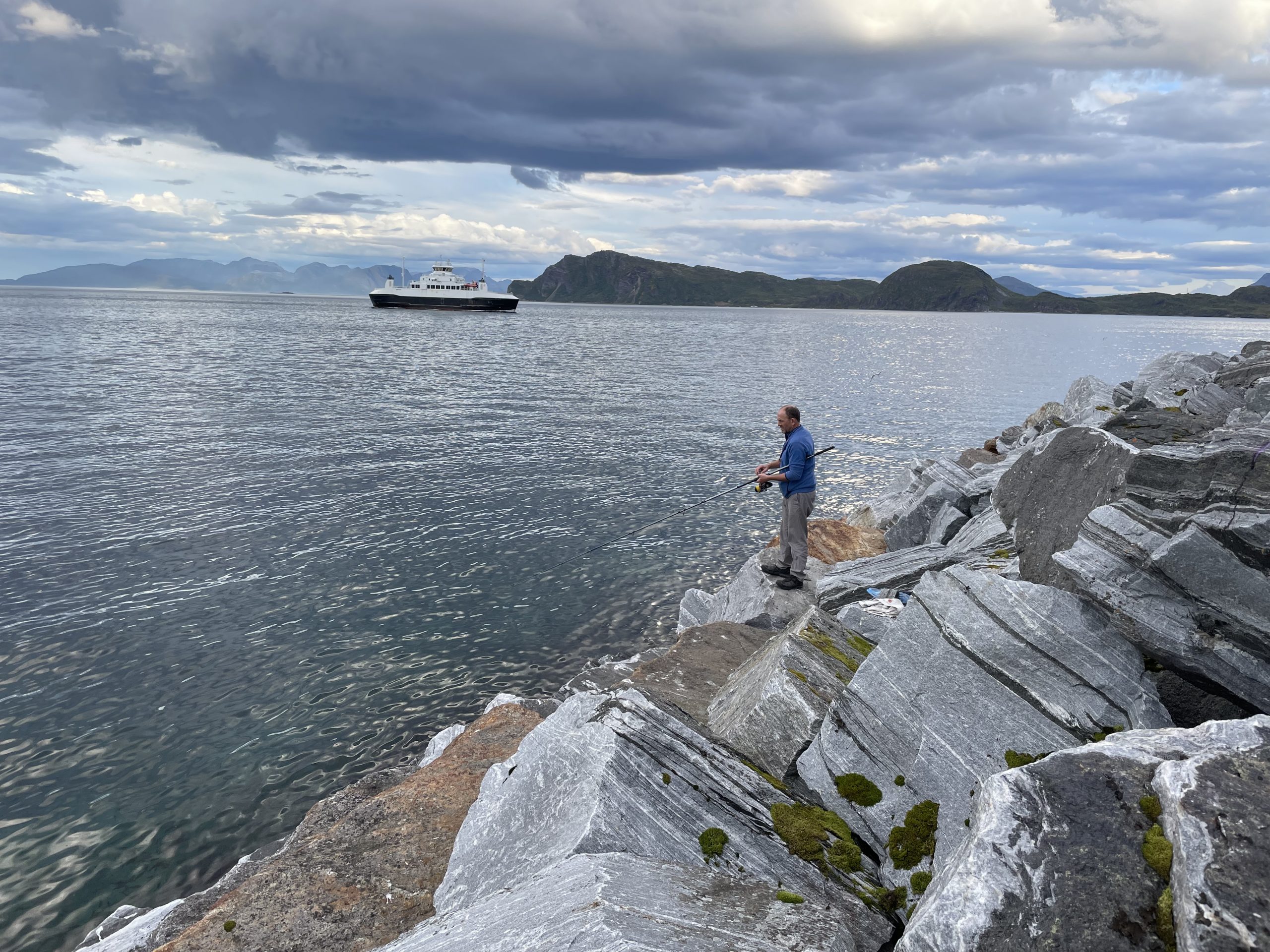
- Fishing – of course
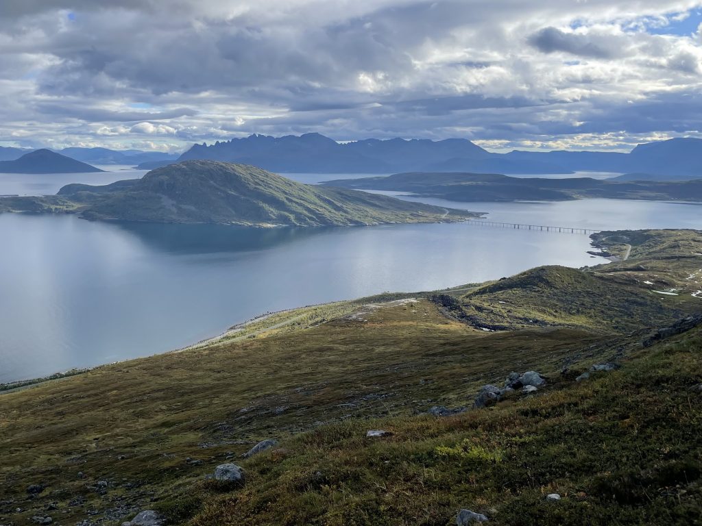
Climbing Breikågen
Behind the Storstein ferry terminal a path climbs up to a minor summit of this island. Kågen has a number of peaks over 1000 meters with small glacial remnants holding on in their northern corries. Some of the bluest glacial lakes are couched between these peaks. It looked fabulous on the map.
When we were planning we considered the high peaks, but with hikes of 8 or more hours we decided that was too much for us. Our best option was to find a smaller peak that gave us good views of the glaciers and lakes. And that is why we were parked at this harbour.
In the morning, fuelled by the previous evening’s fish and a good breakfast we set off out of the back of the car park and through a small bank of trees.
The path took an uncompromising route straight up the side of the mountain. This was not a rocky route but a steep moist earth path that slipped away from under our feet as we ascended. I could already feel myself dreading our descent.
We were relieved when we finally reached the rocky slopes that made up the top half of the walk. The path was not much less steep here, but it did give us some respite as it looped around a crag and ascended the final slopes from the south. The rock was grippy and gave us some firm footing for a bit of a change.
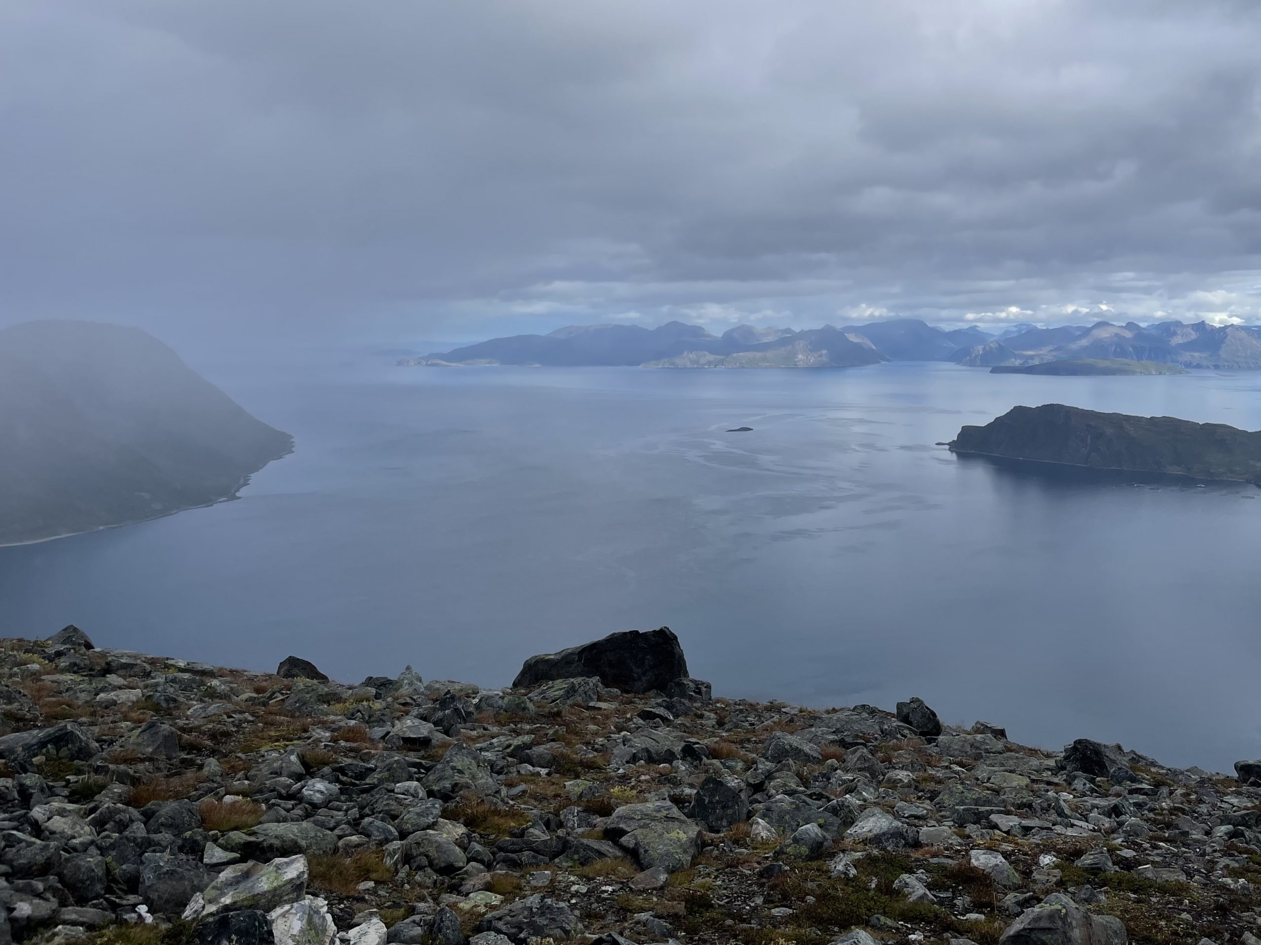
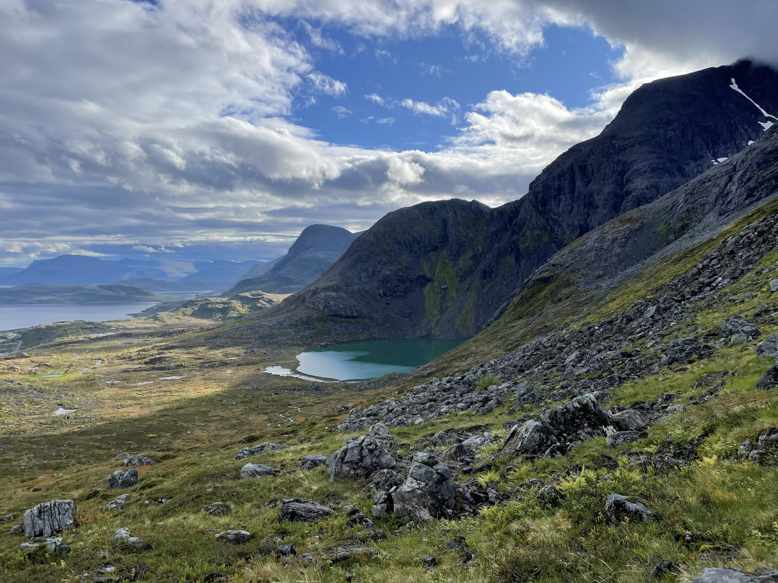
On the first half of the ascent we had ample opportunity to turn around a look at the views of the sea and islands.
-
- The mist and cloud sweeping over us
-
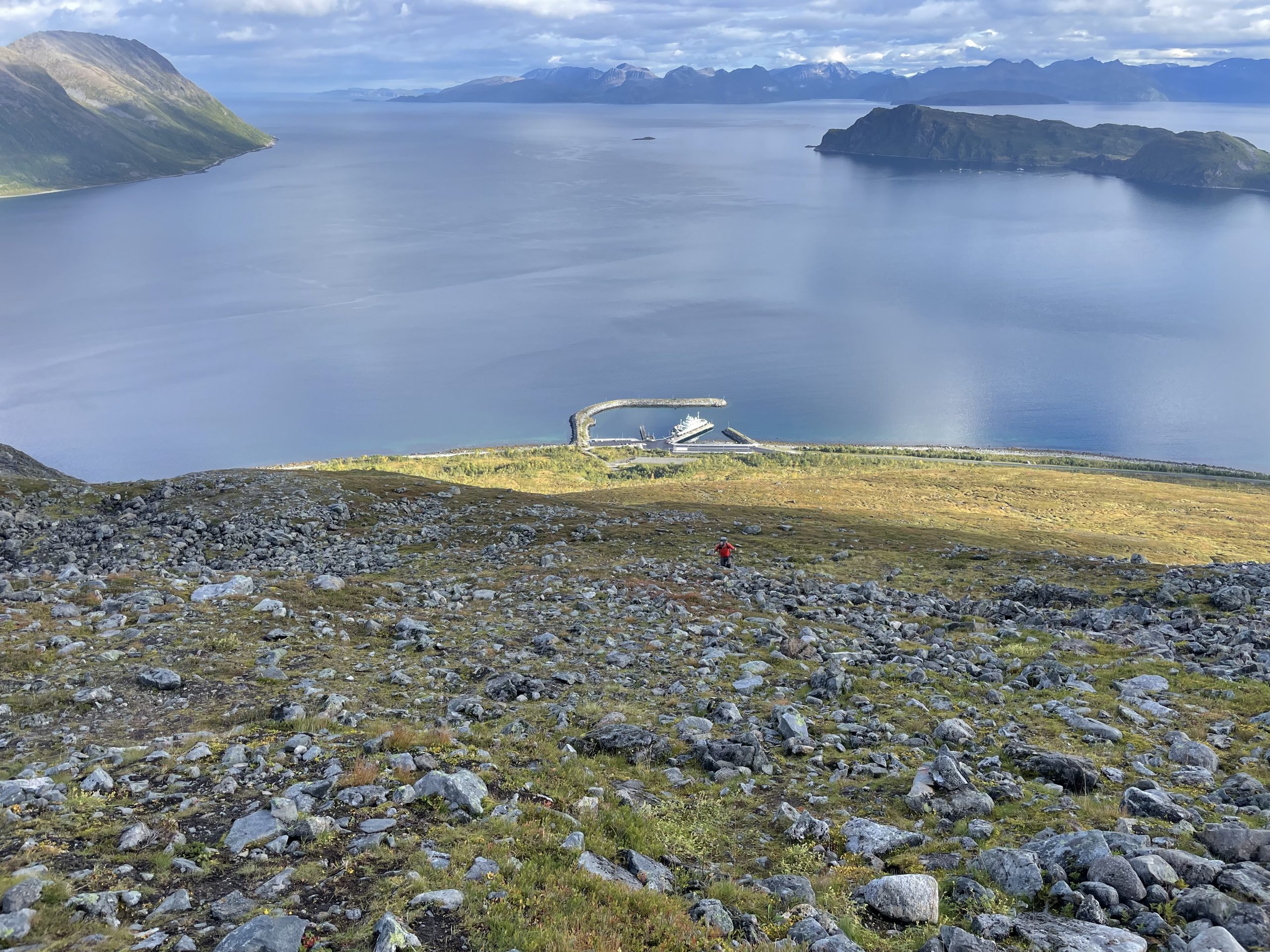
- View of the ferry harbour
The second half of the ascent was take up with views of the vivid glacial lakes in their hollows far below us and the craggy mountains above us with ice and snow clinging onto impossibly steep slopes.
-
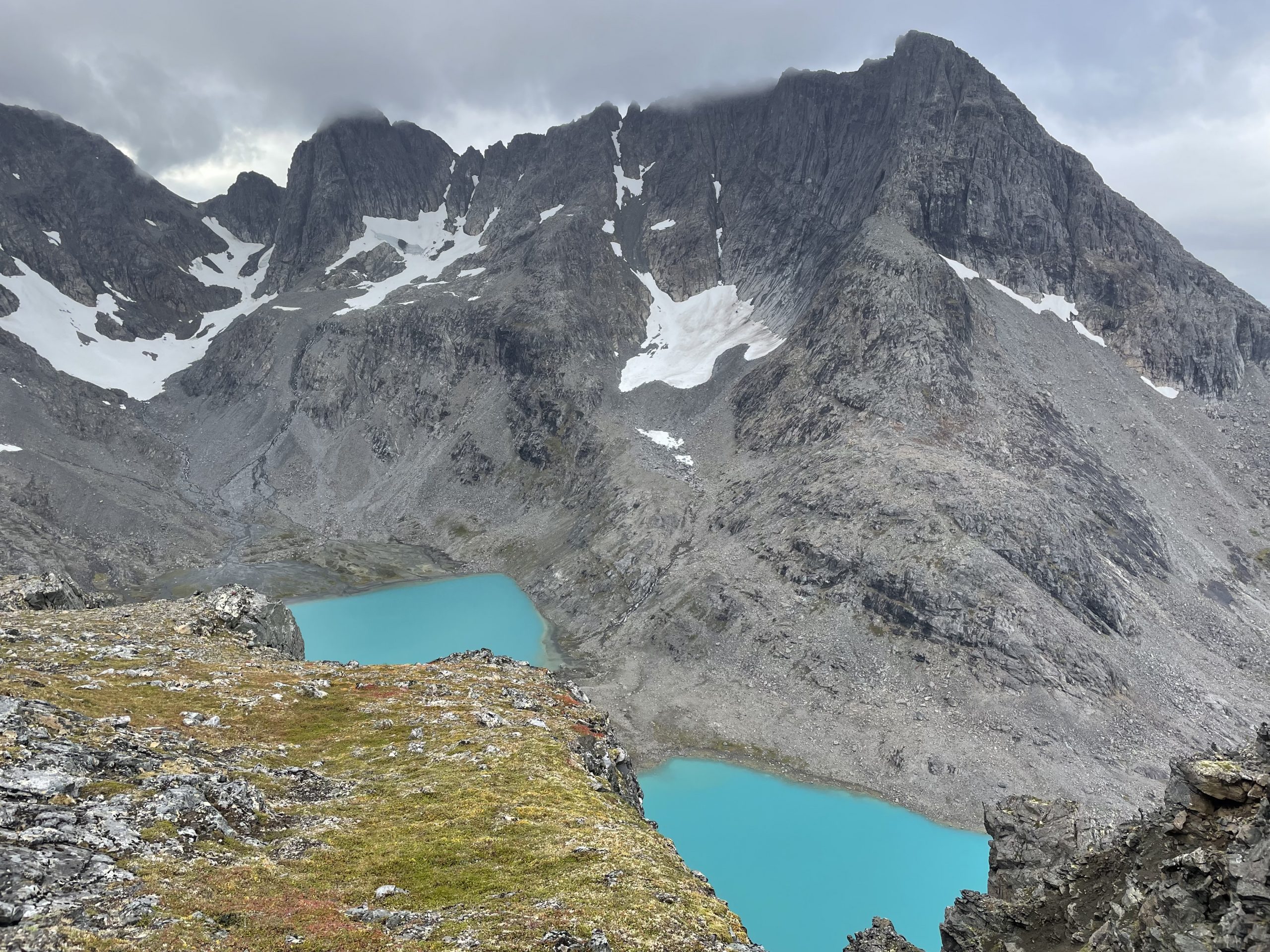
- Such beautiful blue lakes
-
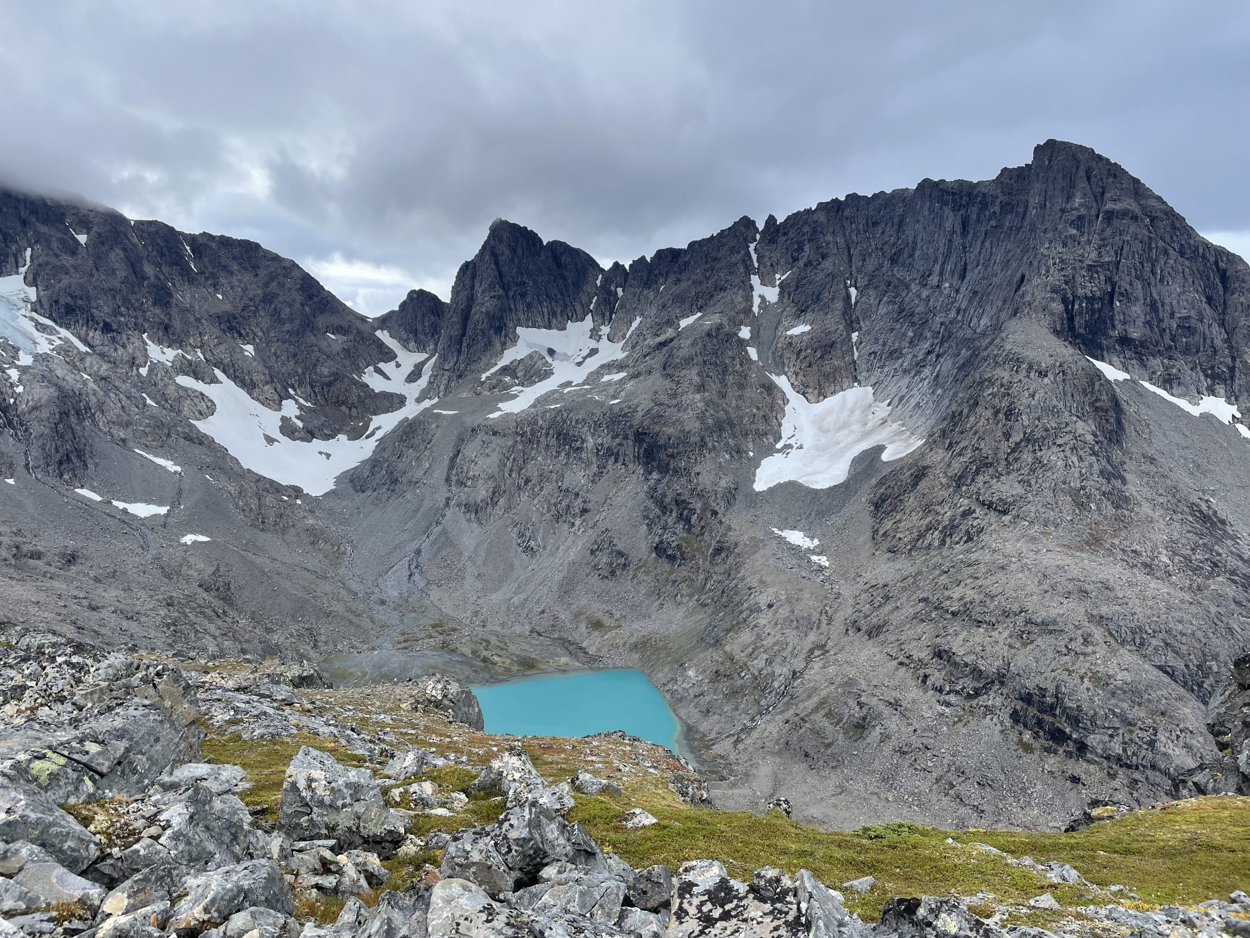
- Worth every slip and slide on the way up
We didn’t spend long on the summit, showers and cloud had been blowing past all morning. The summit cairn came into view at the same time as one of the squally bursts hit us. Paul turned around and started down immediately and I wasn’t far behind him, just lingering a little longer to take in the view.
After our experience of the route up we decided we should try to take an alternative route down. We’d found a number of options on wikiloc and chose one that looked more gentle. The problem was that there was no marked path. This was going to be a yomp over heather. We used the Isbuktelva stream as a guide for our route downhill, keeping a respectful distance from the mossy boulders that made up it’s course and then bearing away from the stream to take a diagonal route down the mountain to our start point. It was definitely a better route down although we had to keep stopping and checking our route.
-
- Views on the way down
-
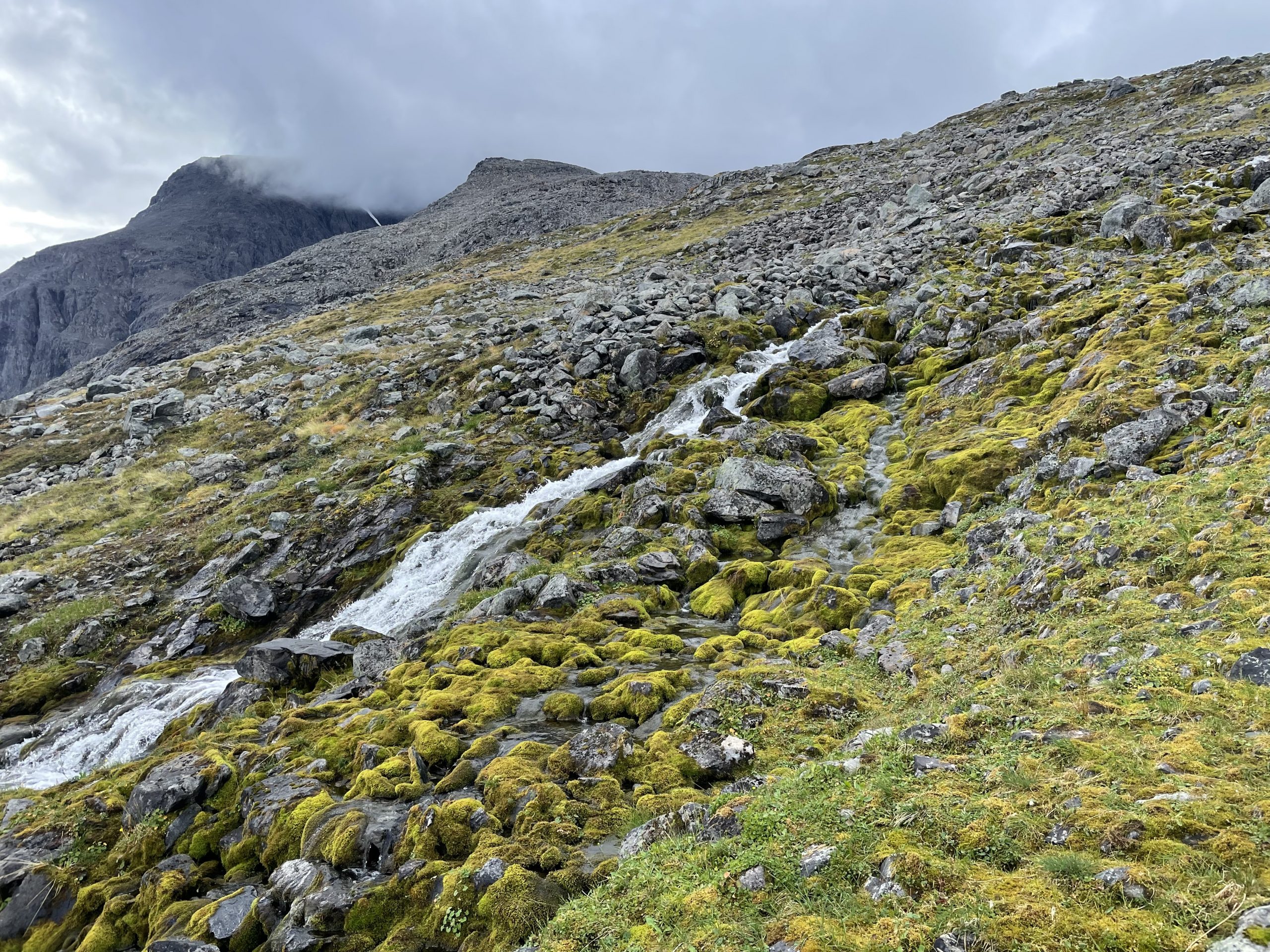
- The stream that guided us
Even though it wasn’t the nicest path up a mountain, the views had more than made up for it.