
12/09/2025
A short way west of Alta I could see some enticing white patches on google maps. As we’re suckers for a glacier we immediately started to look for options to get as close as possible to them.
From Alta we had a couple of options to reach this collection of glaciers. We could approach from the south via Jøkelfjord, or we could approach from the north or east via ferry from Øksfjord. We chose the southern option because it looked as though we could get really close to the glacier by walking along the coast from a decent parking spot close to the trailhead.
Bubbelen
As we drove along the trusty E6 I noticed a point of interest on the map. A feature called Bubbelen. I directed Paul down a side road from the fabulously named Bognelv to a small parking area by a river.
I managed Paul’s expectations. We were here to see a spring, a water feature that might be underwhelming in this dry summer. The name suggests that the spring might bubble out of the ground but would it? It wasn’t a long walk so it was worth taking a look.
A short but steep path took us up to the small pool where the river rises from the limestone rock. As expected there was no bubbling, but the water was crystal clear and this meant we could do something impossible in wetter seasons. We looked down into the water into a passageway leading under the mountain. We couldn’t see far but it was quite captivating, I wonder if anyone has ever dived down there?
-
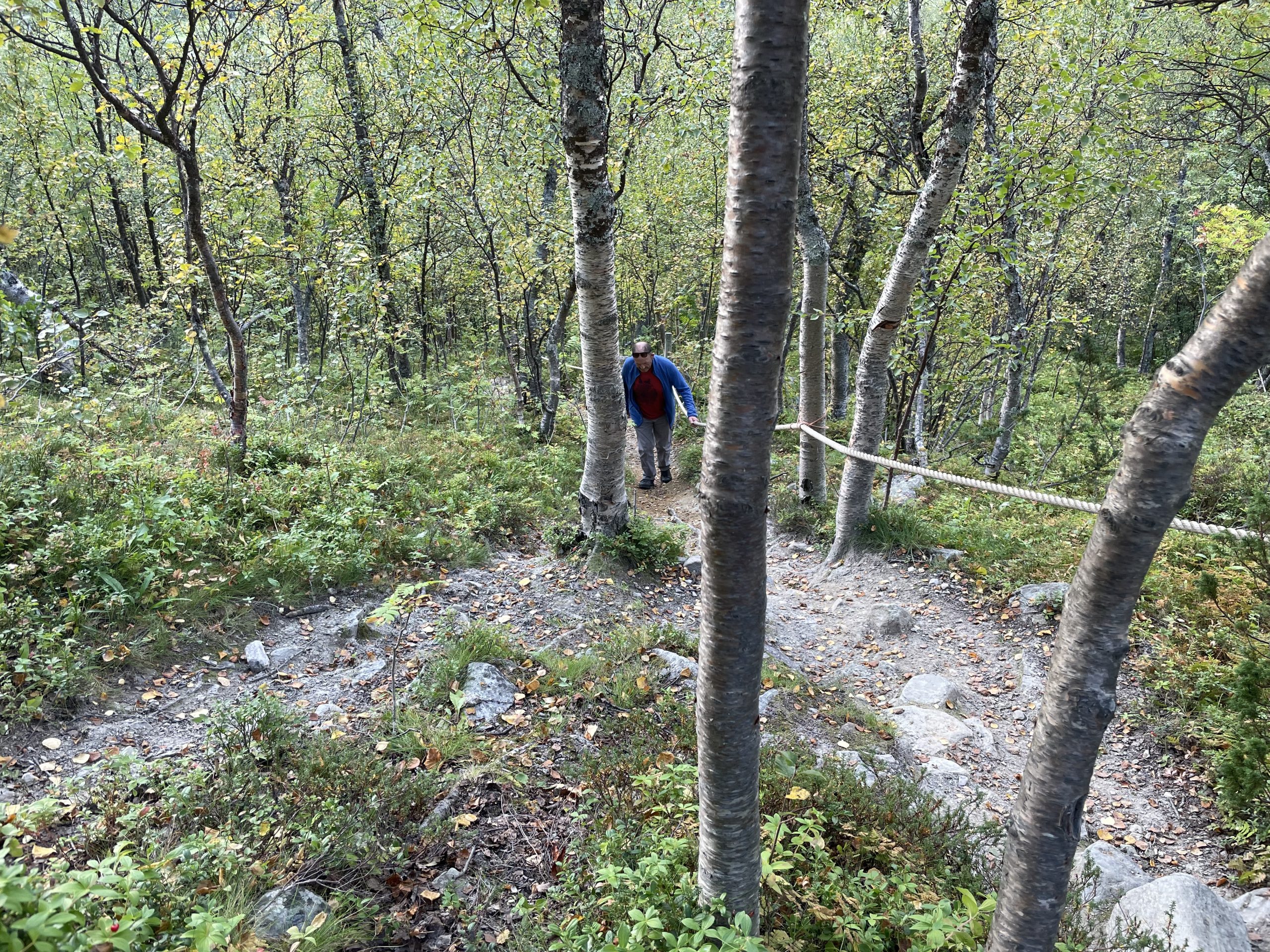
- Steep hill, but at least there’s a rope to hold on to
-
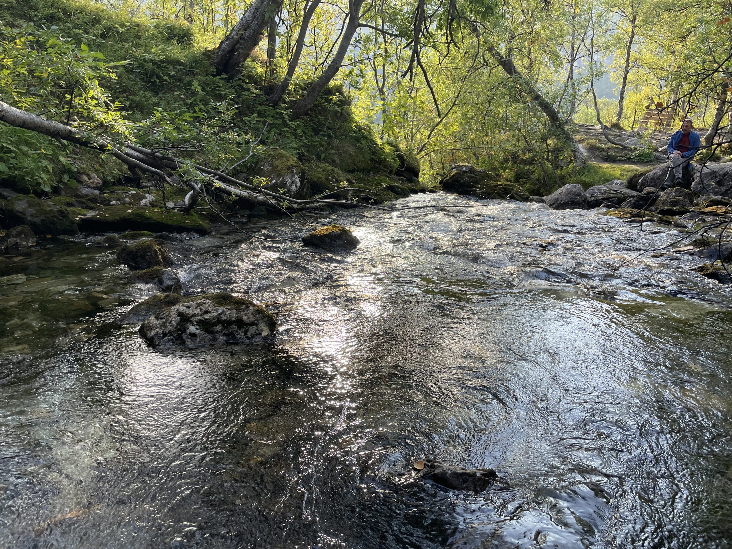
- Pool by the spring
-
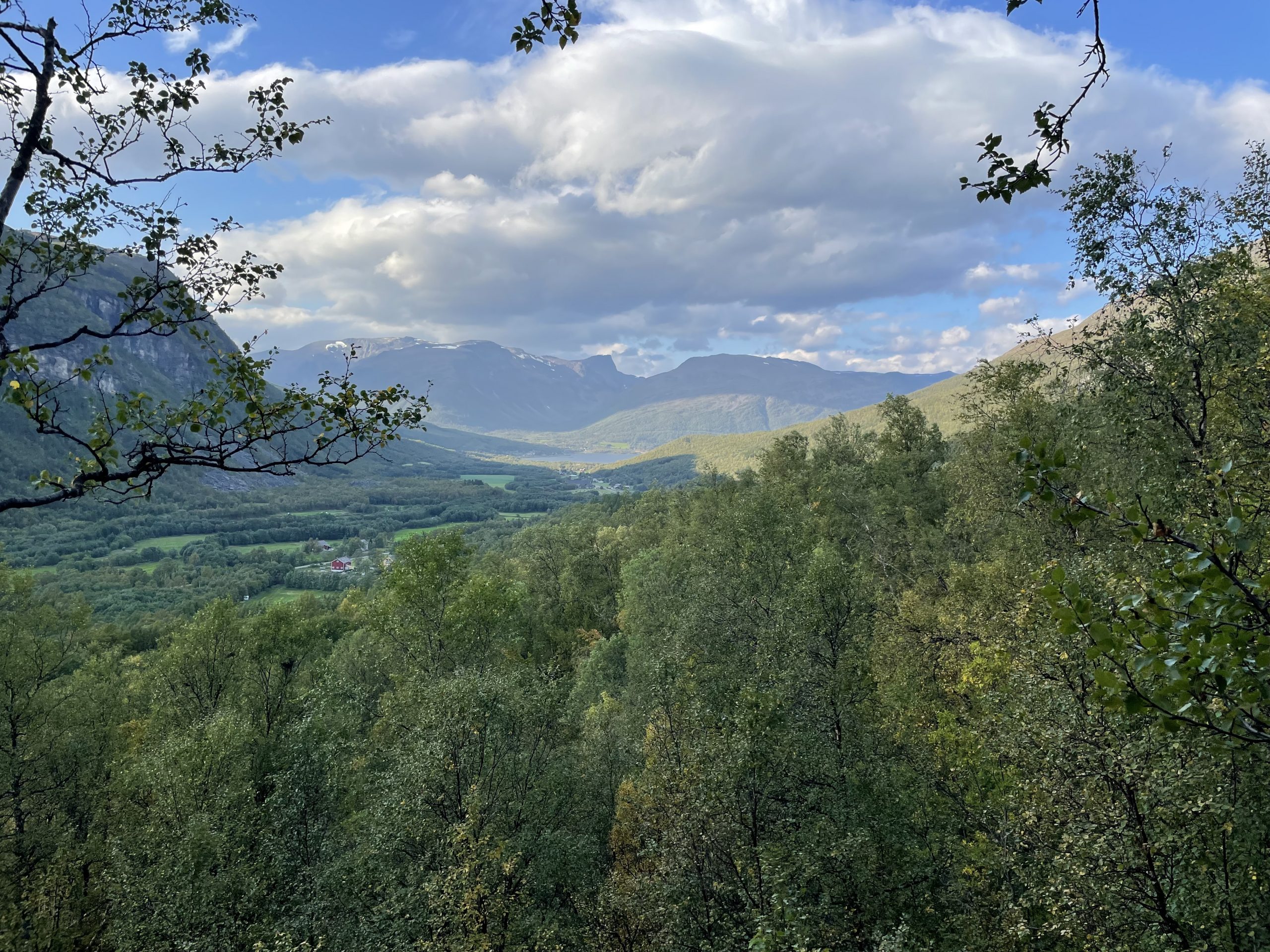
- Nice views over the fjell
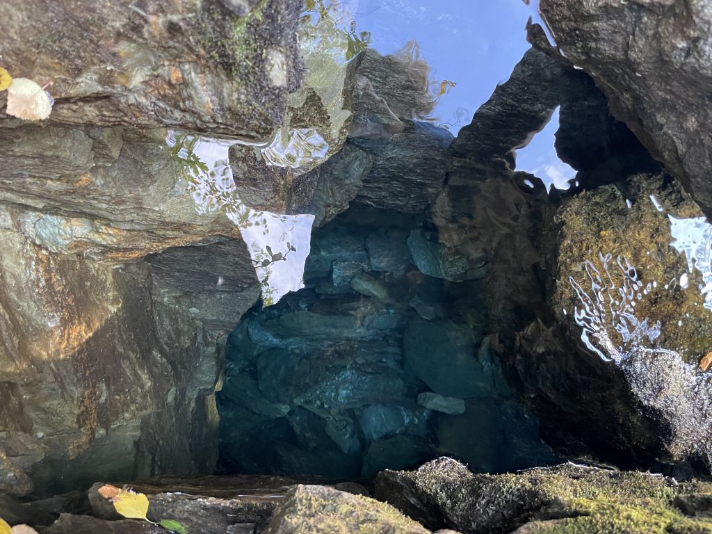
Looking down into the clear waters of the spring.
Parking at Jøkelfjord
Back on the E6 we spotted motorhome services so stopped to do the usual empty and fill. While Paul was taking care of things I walked over and examined the Adblue pump as our van was complaining about being too low. Despite it being in the area with lorry fuel I could see that the nozzle was narrow enough for the van so we topped up at the pump. That was better than buying expensive containers.
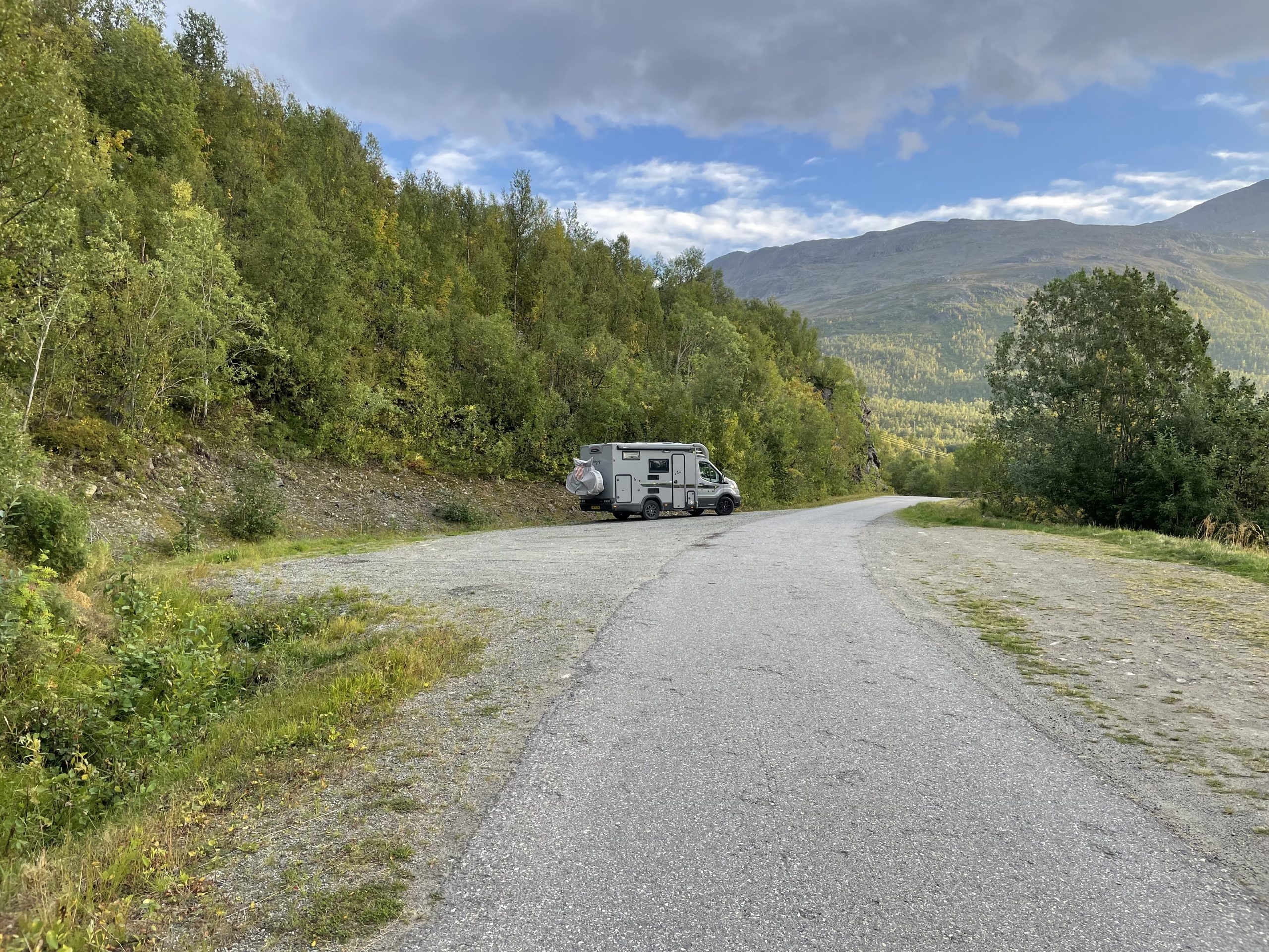
The road to Jøkelfjord left the E6 and climbed between mountains before dropping down the south side of this small fjord. There are a few fishing camps strung along the fjords edge, including one that rents kayaks and small boats to people who want to go and look at the glacier.
Park4night reviews had said that there is a no camping sign at the trailhead for the walk to the glacier so we parked up a short way before that in a large layby. Paul got his fishing stuff out while I had a little explore. He only managed to catch a few small fish which needed to be returned so it was a good job I already had dinner sorted.
We had a very peaceful night in this small parking space with no passing vehicles until the following morning when people started arriving to view the glacier.
-
- Parking spot on Jokelfjord
-
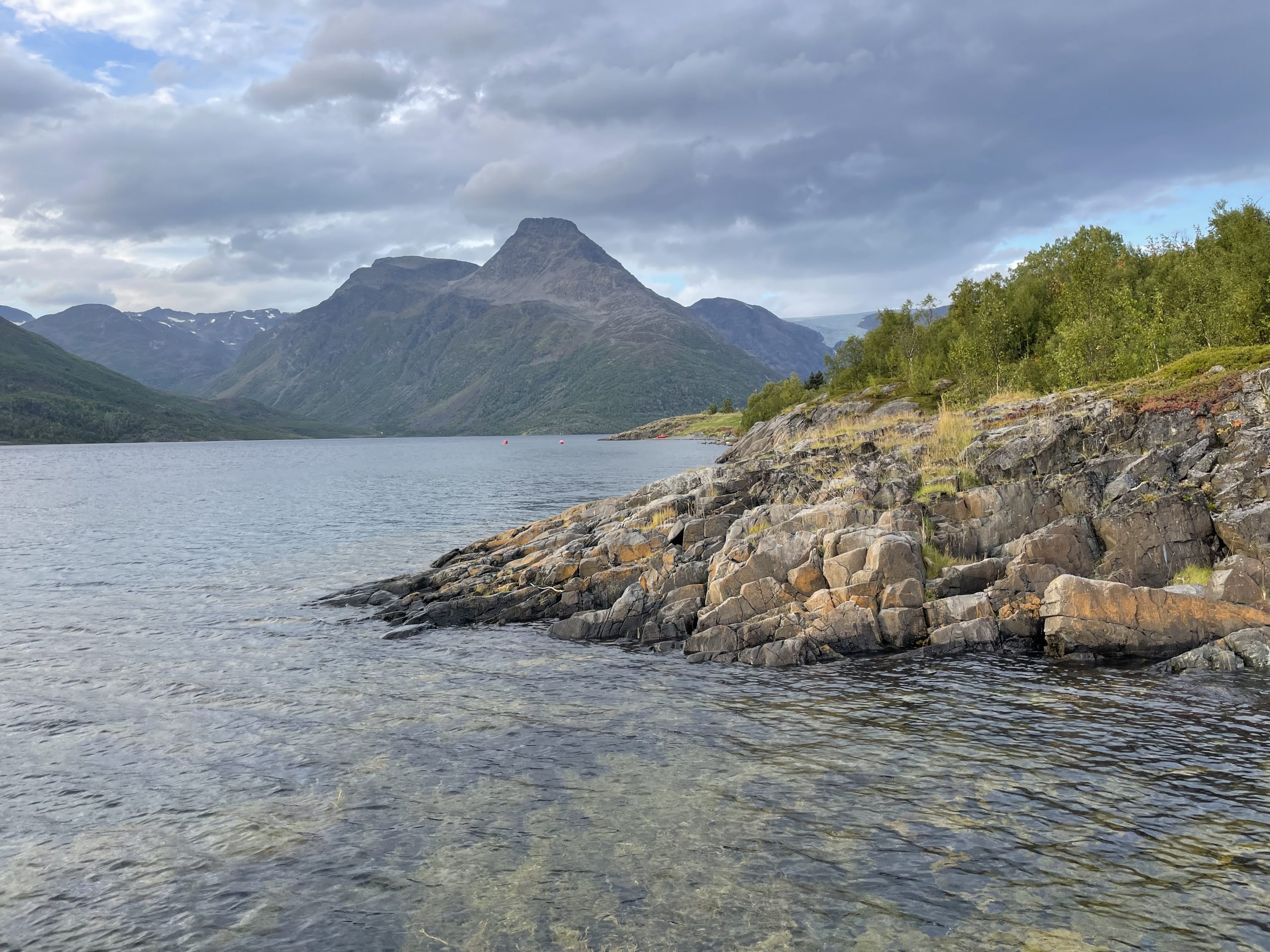
- Crystal clear water and beautiful views
-
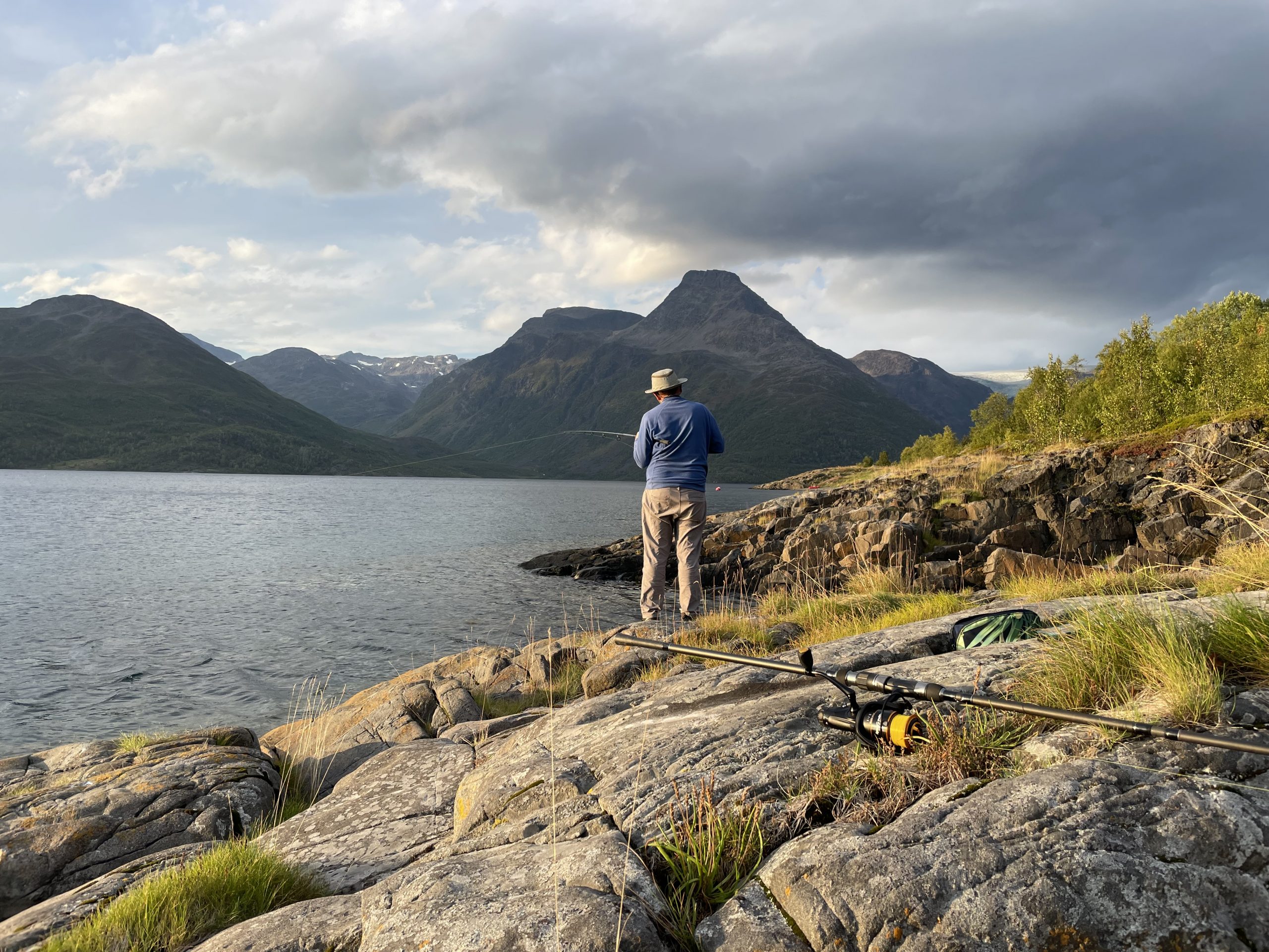
- Fishing – of course
Øksfjordjøkelen
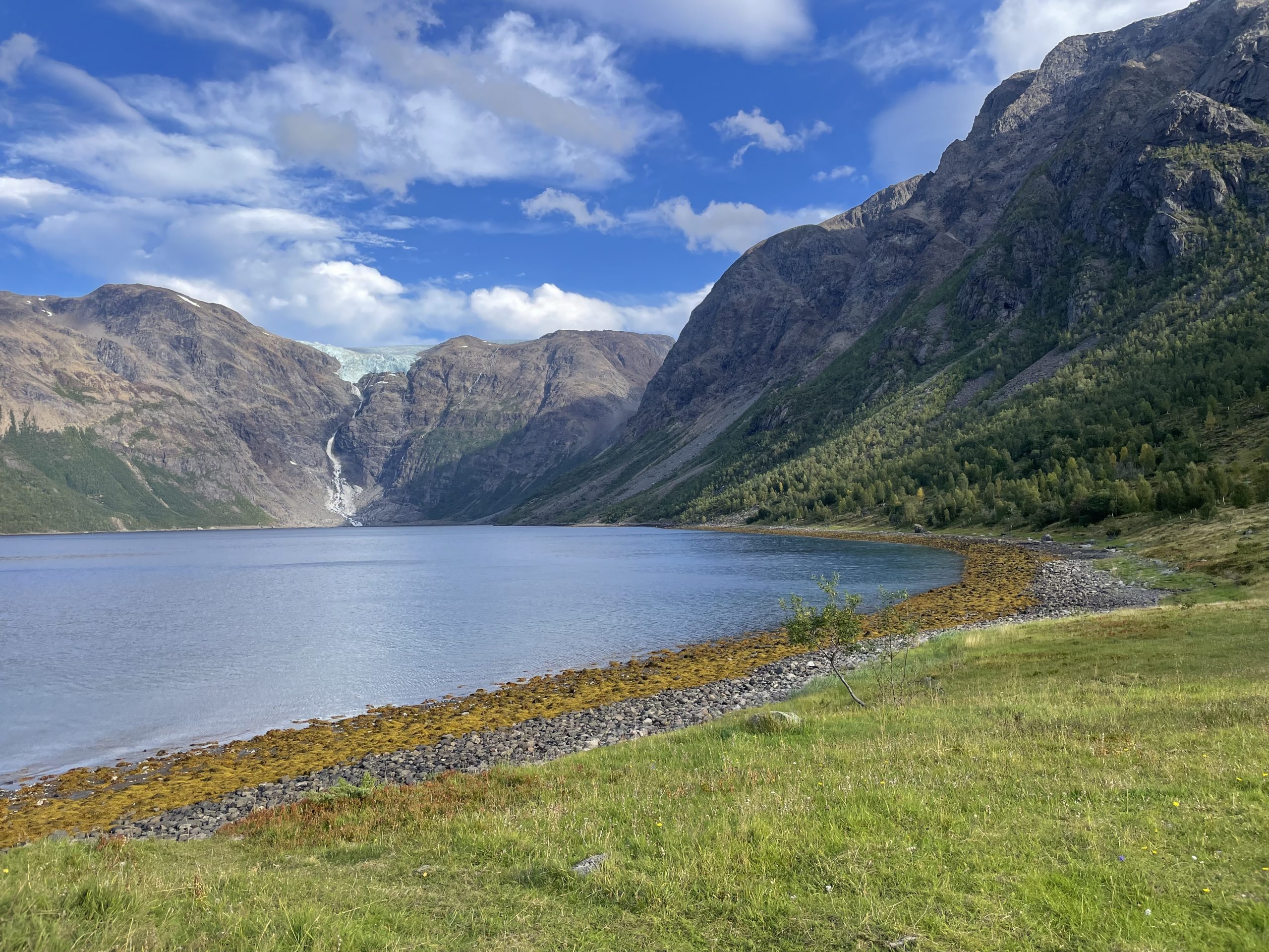
We left the van in it’s parking spot and walked up to the trailhead car park. We hadn’t realised it was possible to get a good view of the glacier from here. Many people were arriving, taking a photo and then leaving again without even venturing along the path.
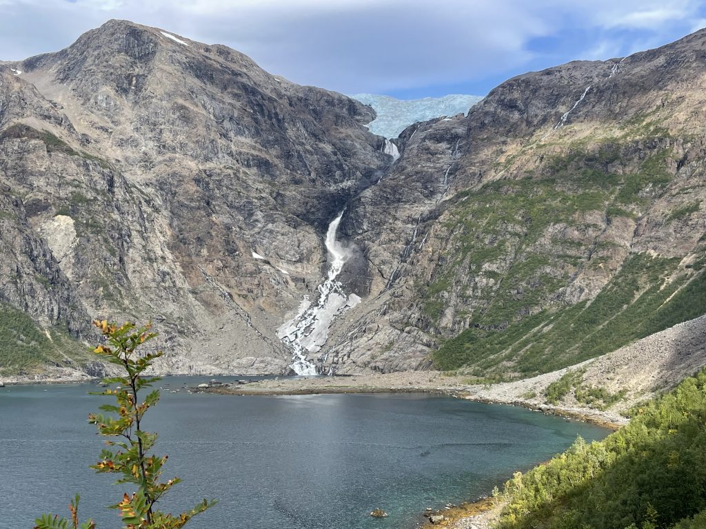
Once upon a time Øksfjordjøkelen reached down as far as the sea in this fjord. But no longer. The long glacial tongue that once reached down into the water is now separated from the main glacier. A few sad chunks of glacial ice sit down at water level to remind us of what once was. A thread of melt water connects the main glacier with this remnant.
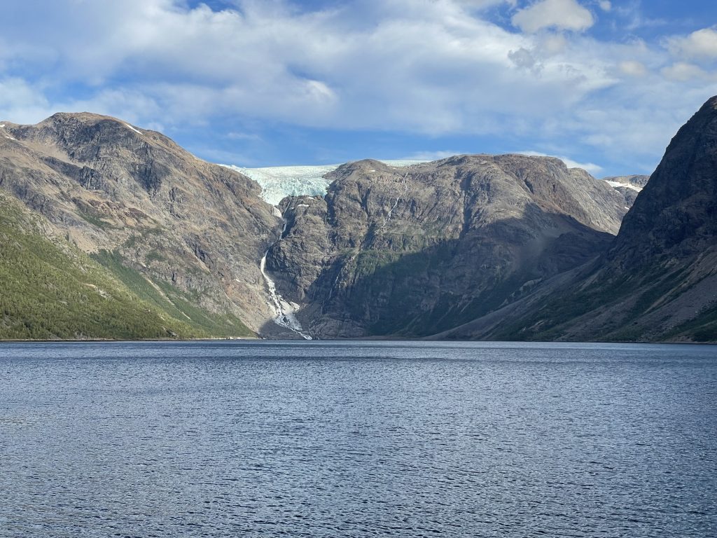
View from the car park
100 years ago in the 1920s the lower reaches of the glacier were significant enough to build an ice industry around. The ice was ‘mined’ for refrigeration in the fishing industry. At first it was just the calved ice that had naturally dropped into the ocean, picked up and transported by boat, but soon they were drilling out chunks of ice, up to 100 tons a day were taken in the summer. It probably seemed like a never ending resource at the time. After the war refrigeration technology had improved and there was no need to take the ice on such a scale. Ironic that there was probably more danger to the ice from the energy consumption of the new technology than there was from the mining process.
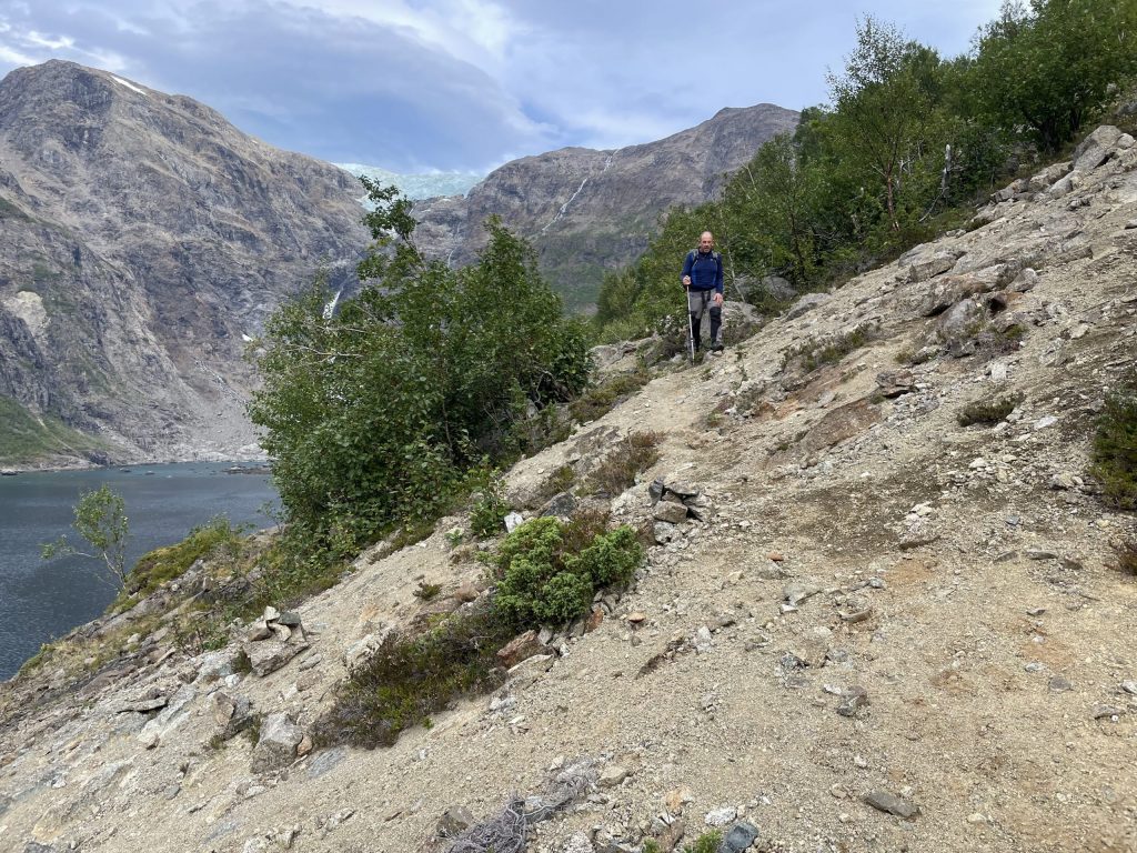
The walk along the fjord edge started through trees and then dropped down to the fjord edge with it’s rocks and seaweed fringe. It was easier and more straightforward than our last glacier walk and we soon reached a grassy meadow. During WWII the local population tried to hide from the Germans here, it may have seemed like a good idea to retreat to this idyllic spot, but we were seeing it in warm sunshine. In the rain and cold it must have been miserable. Eventually the villagers were found and evacuated from their refuge.
-
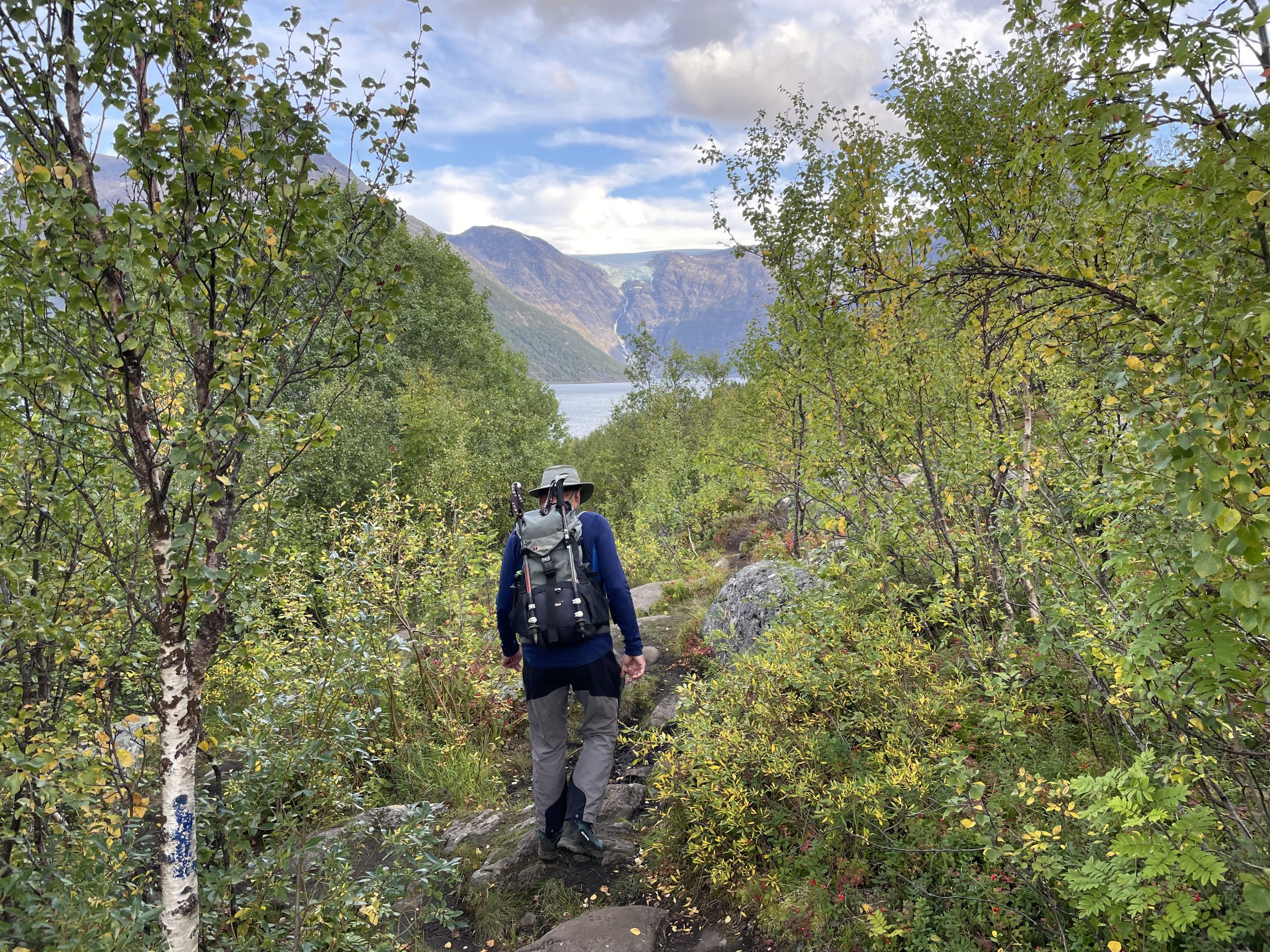
- Walking through the woods
-
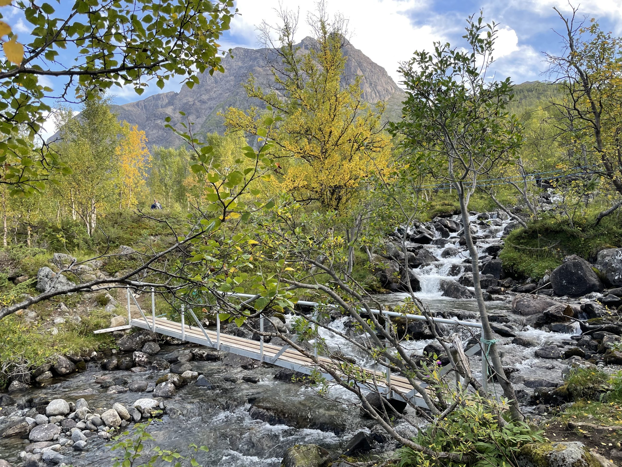
- Happy to see bridges across the streams
-
- Meadow with more views of the glacier
We carried on beyond this point where the path started to get more difficult to navigate. Signs warned of the dangers of rockfalls and there were multiple stone chutes across the path. Some were mossy and ancient, some earthy and bare, obviously more recent. We struggled to find the path although it was marked with orange poles in places. Eventually we reached an earthy rock slide above a steep drop into the sea. We decided to call it a day and turn around.
-
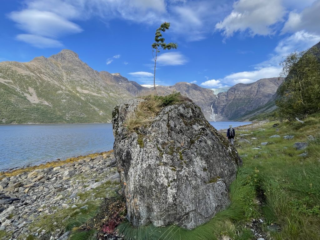
- This rowan was making an attempt to grow on top of the rock
-
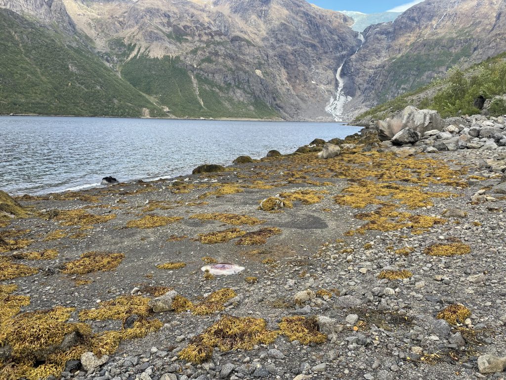
- Seaweed strewn beaches
-
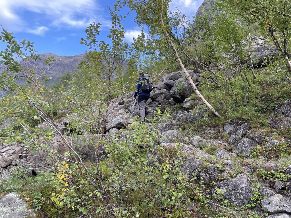
- Boulder fields
-
- Earthy rock slides
Back in the grassy meadow we ate our picnic, enjoying the sunshine and picking bilberries to go with the next day’s breakfast.
Was it worth the walk? Yes definitely. It’s a glacier with an interesting history in a beautiful setting but we probably wouldn’t go further than the meadow.
We had intended to go as far as the pebbly spit in front of the glacier, but decided the risk wasn’t worth it.