
28/02/2025
We have finally moved on from Montgènevre. Yet again we have been reluctant to leave somewhere we were comfortably parked up, but it was definitely time. We had already done the Montgènevre shuffle, paying for our first seven nights, leaving the aire and returning through the entrance in order to avoid the massive hike in prices that comes with a stay of more than seven nights. Before we left for the second time we enjoyed a couple of hikes. Less enjoyable were the necessary evil of a couple of work days, and a poorly chosen ski day.
It’s still French school holidays so the regular animation programme kept us amused in the evenings. This included a torchlit descent (watching not participating) and frequent fireworks.
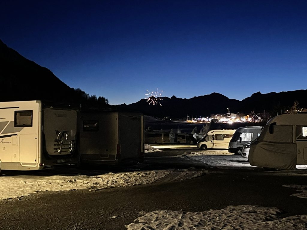
Watching fireworks from the aire
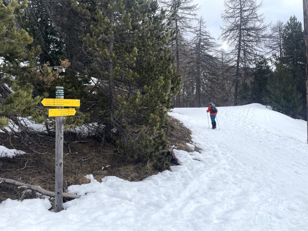
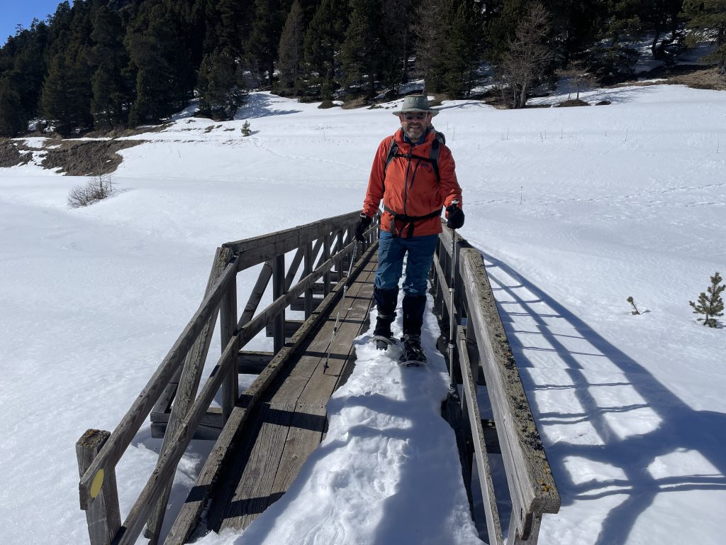
Should have taken snowshoes
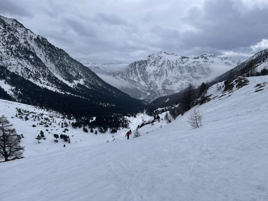
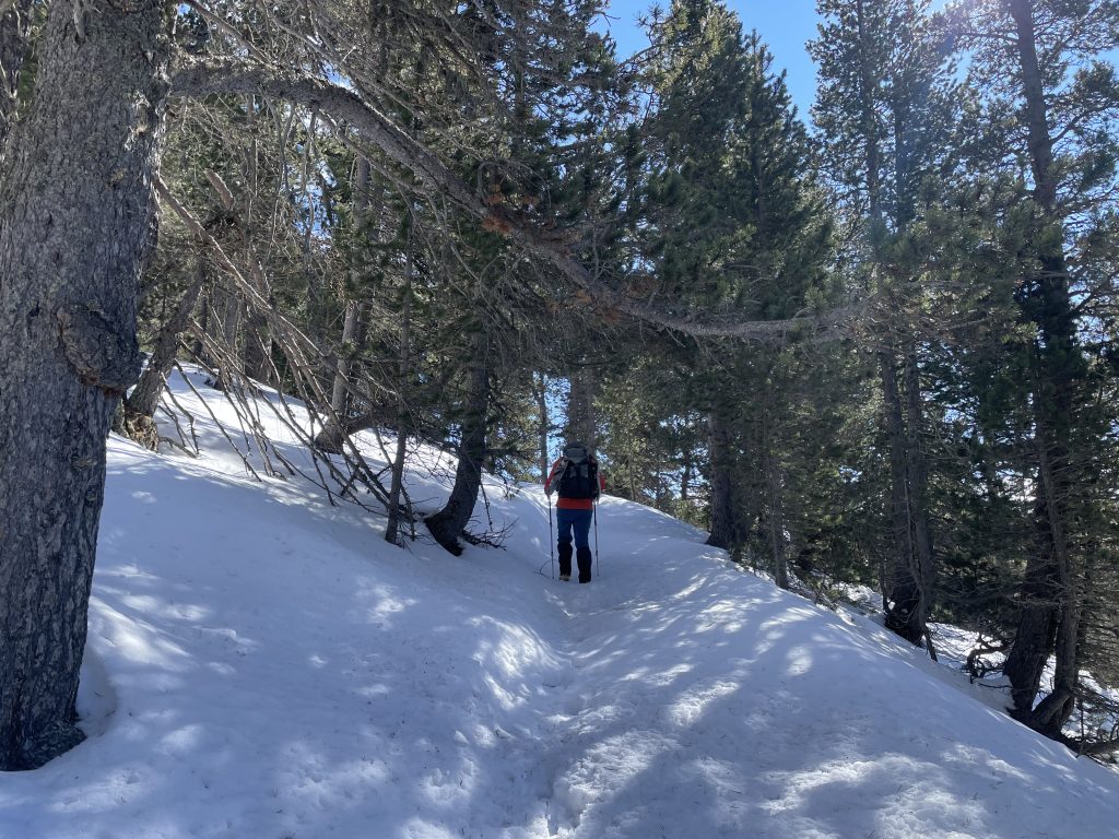
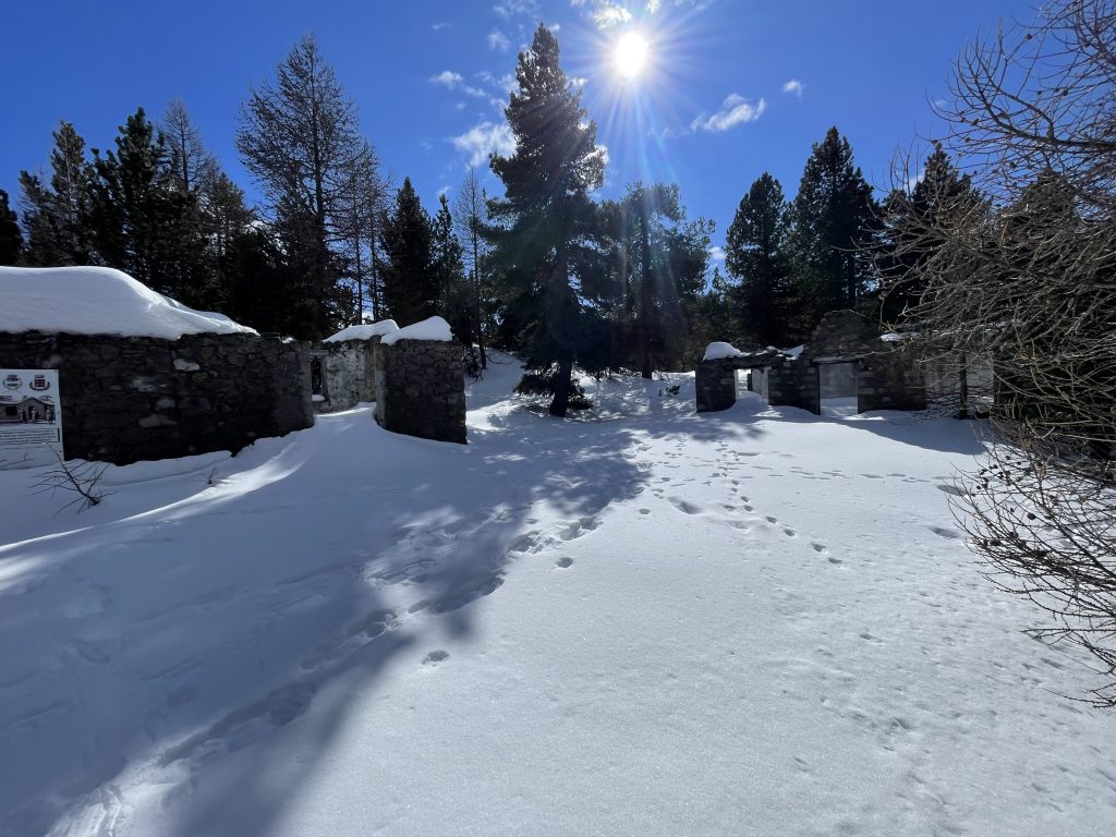
A walk up the Vallon Des Baisses occupied us on the Saturday morning. We set off with microspikes but without snowshoes. After all there had been very little snow and what we could see in the local area was hard packed and icy.
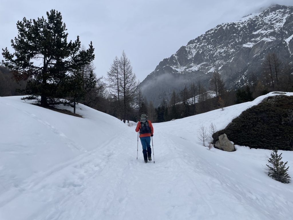
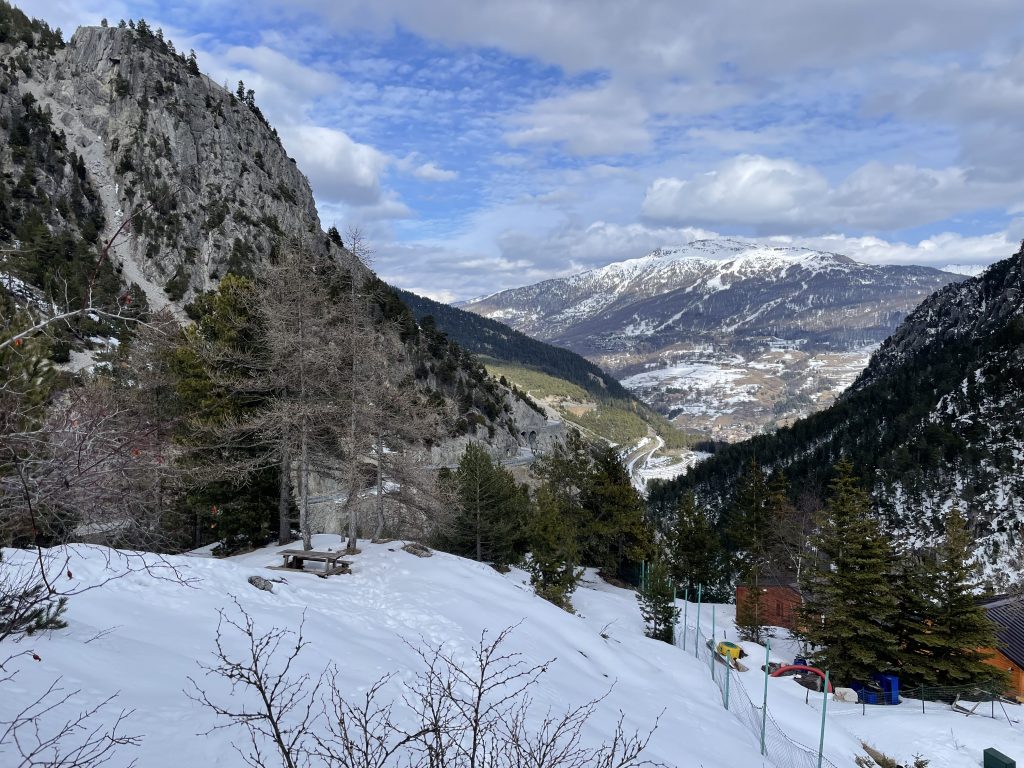
Setting off up the valley
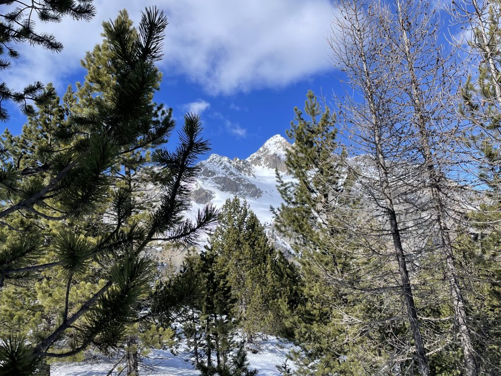
The Vallon des Baisses is close to the aire, running south to north into the mountains. On the west is the Chalvet ski area. To the east the bulk of Mont Chaberton looms. At over 3000m it’s one of the bigger peaks in the area. The mountain was on the Italian side of the border before WWII, but is now in French hands. On the top you can just about make out the artificial shapes of artillery batteries constructed by the Italians.
We were heading for the Col des Trois Frères Mineurs, but that was a little ambitious so we agreed to see how far we got before we had to turn around to get back in time to watch the six nations. We set a timer to give us about a third of our time to get back, we usually take about twice as long to go uphill as we do to get back down again.
Well worn path
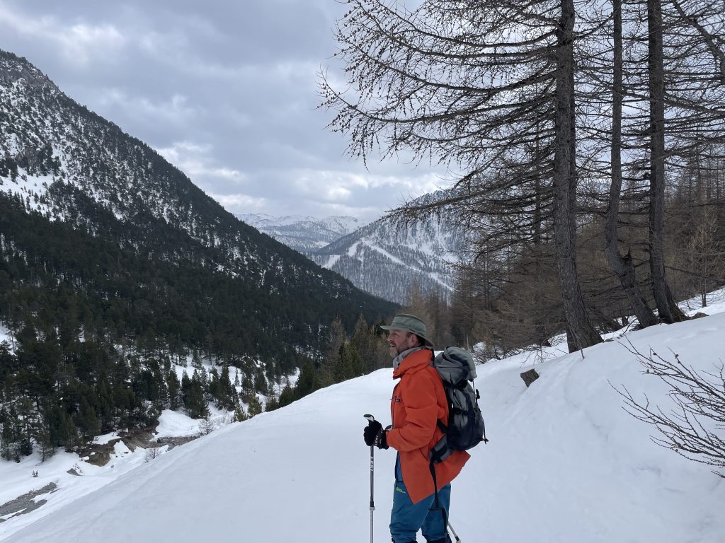
To start with the path was a gentle uphill through the forest and above the Rio , well worn with footprints, snowshoe tracks and ski lines all marking the route. When we got to a small mountain hut the character of the route changed. The forest thinned out and we faced a steeper slope.
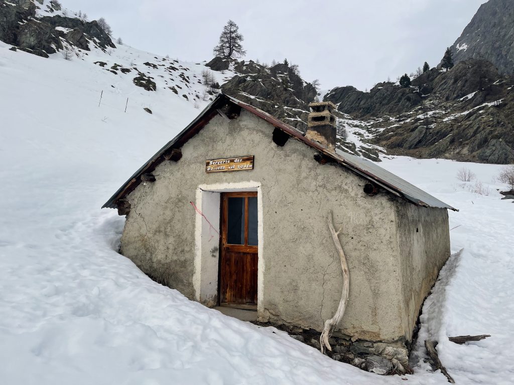
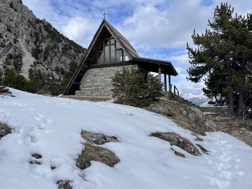
Small mountain hut, open for people to take shelter and look at the helpful map.
As we slogged up the slope we realised that actually we could have done with the snowshoes. It was laborious going. Even stopping and putting the microspikes on didn’t really help much in the deep and claggy snow. Stoically we made our way upwards and onwards, finally stopping near the Rocher Rouge ski lift for a snack. It was here that our alarm went off telling us we needed to head back to watch the rugby. We were pretty relieved that we didn’t have to make a decision about pushing onwards. Time had been the deciding factor.
We made our way back along a higher path for a bit of variety, overtaken by a few skiers who were cheekily ignoring the fact that the blue run intersecting our path was closed.
On the Italian Side
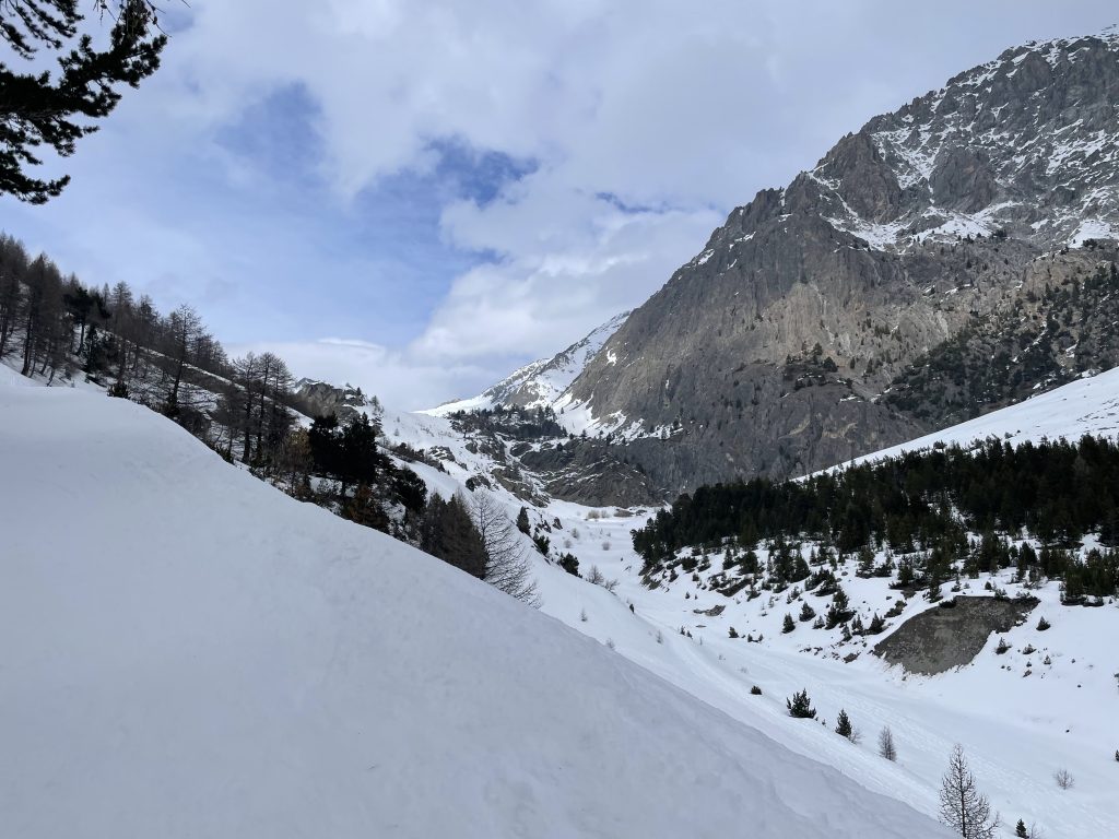
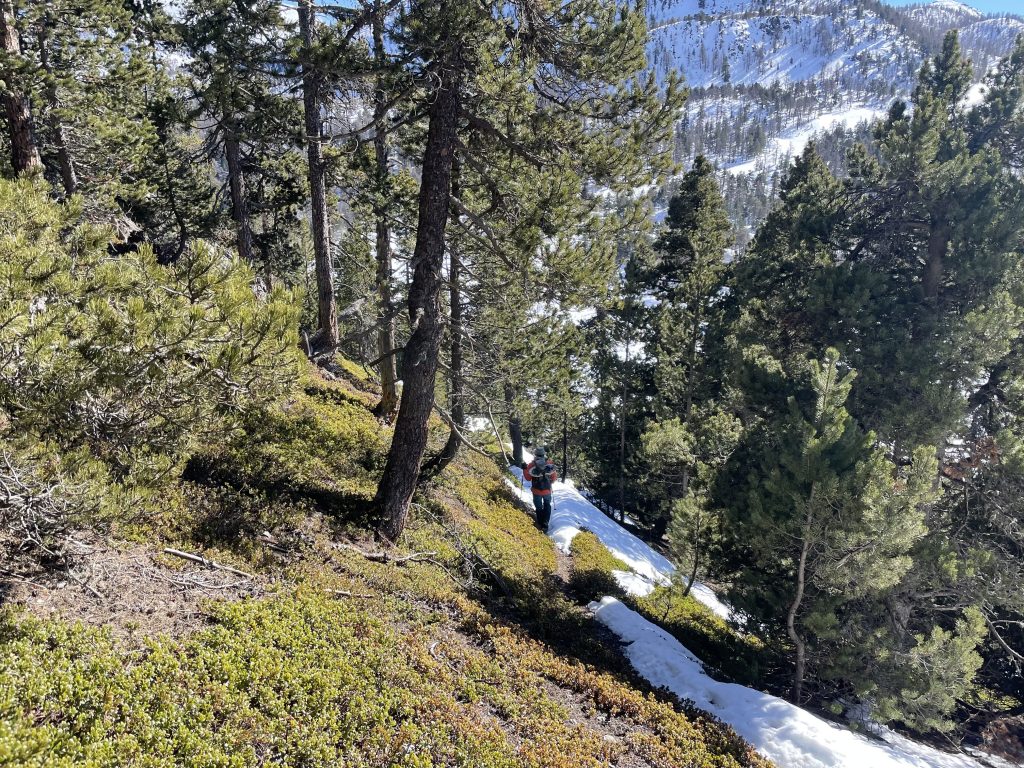
Another snowshoe route, this time we made sure to take the snowshoes, we didn’t want a repeat of our previous walk. It turned out to be one of our favourite routes with lots of variety and finally some wildlife.
This route took us over the France/Italy border to Claviere, a mere hop and skip away from the aire. A bit of fumbling route finding took us through the Club Soleil hotel grounds into the village. Our return route was slightly different as we found a signpost pointing to Montgenevre that took us right back almost to the entrance of the aire.
View of Claviere
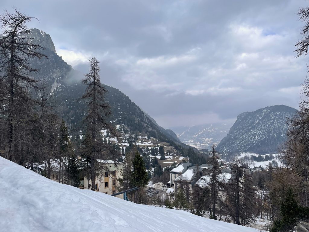
Claviere has much more of a village feel than Montgenevre, it’s quite pretty and a lot smaller. The south flank of Mont Chaberton is the backdrop to the village with precipitous cliffs that form a gorge at the far end of the village. After a bit of exploration we made our way down to the ski area and tried to find the start of the snowshoe route.
-
- Chapel in Claviere
-
- View from Claviere onwards into Italy
-
- Chapel near the gorge
We had a map from the Claviere tourist office and i knew that we shouldn’t be walking on the piste, but somehow we missed the start of the route and ended up walking up blue run 91. We finally found the track we should have taken, and when we made our way back – using the correct path – we saw a big old snowshoe sign that should have been obvious.
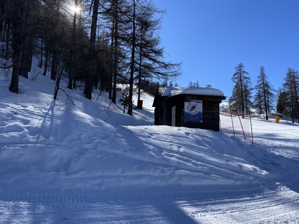
The start point for the snowshoe route
After a restorative hot chocolate at a mountain cafe (Paul had been desperate for a proper Italian hot chocolate for ages, especially after a decidedly substandard one in Serre Chevalier) we then set off on a circular route up a ridge to the small peak of Rocca Clari.
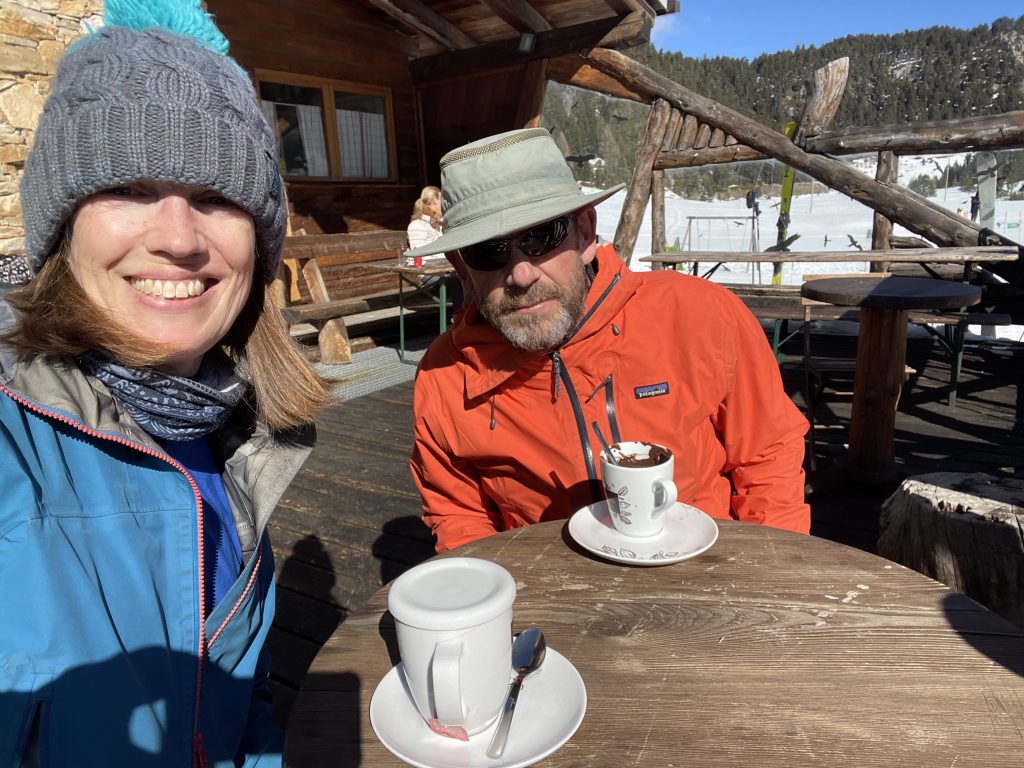
Enjoying a hot drink
This was a lovely route through the trees. There were very few footprints ahead of us so we had to rely on the red and yellow splodges on the trees to find our way. The snowshoes were definitely needed through the forest.
The sound of our progress through the trees (there is no stealth when wearing ironmongery on your feet) startled a herd of Chamois and we continued to see them flitting through the trees ahead of us, their pale faces and rumps very distinctive. Of course they failed to stop for a photo but we were really pleased to have spotted some wildlife for a change.
-
- Walking up through the trees
-
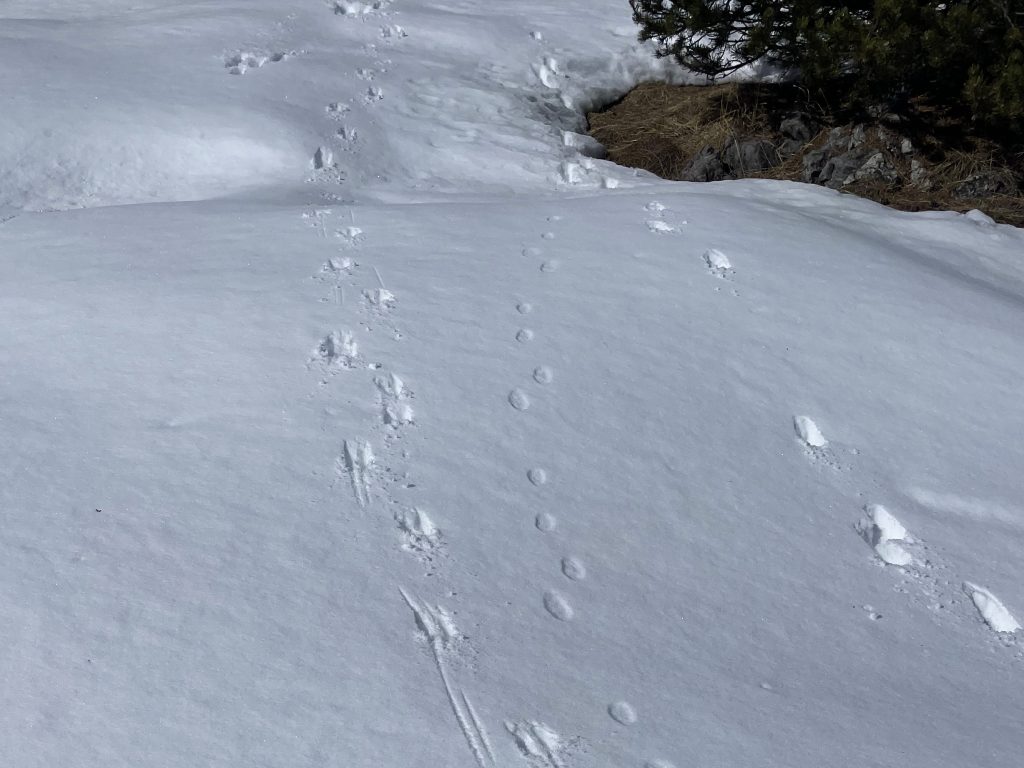
- Hoof prints were the only photographic evidence of the chamois
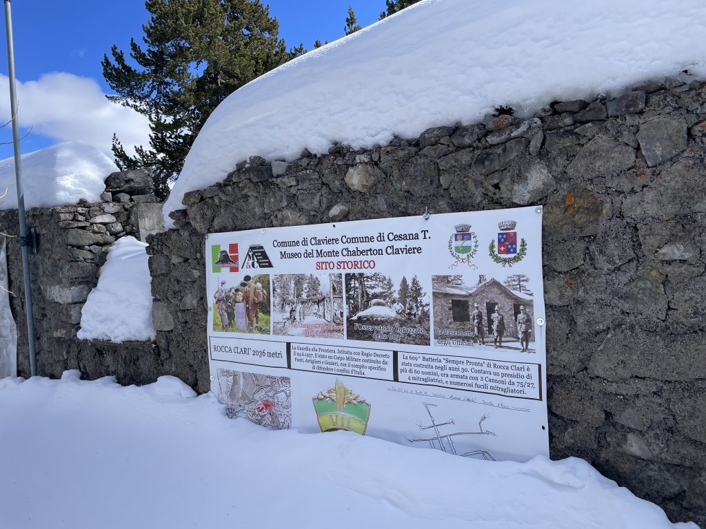
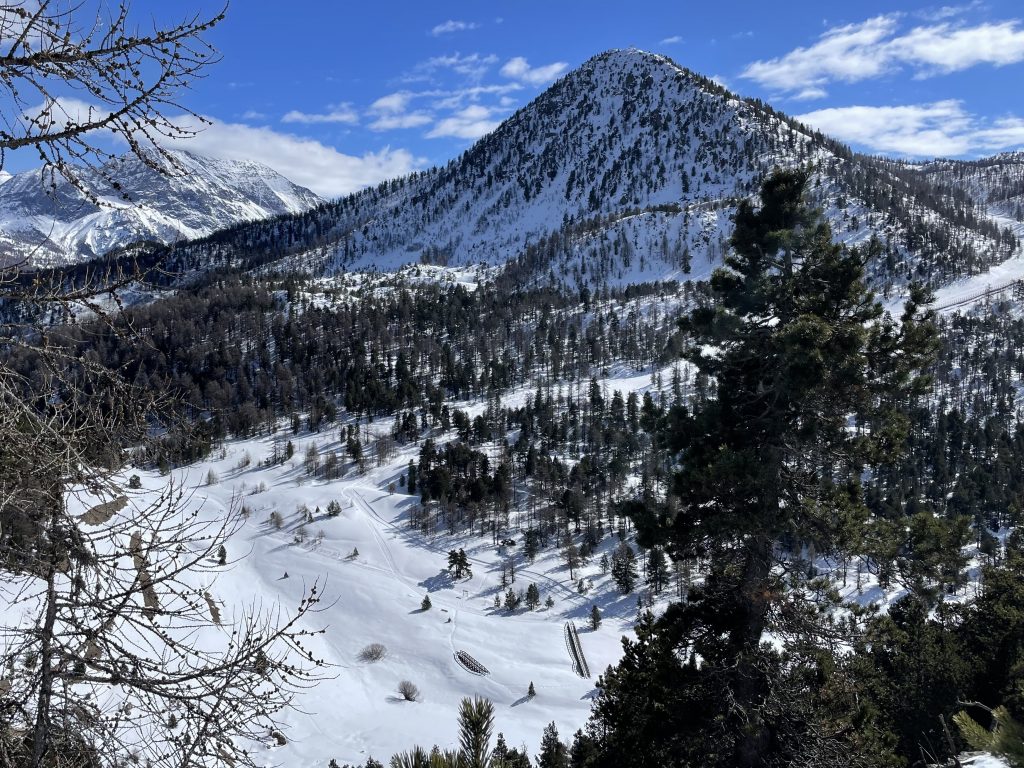
Rocca Clari is the site of another border post and the ruined buildings occupy a small clearing. There must have been a lot fewer trees when it was in active use as there were no views to be seen.
On the way back down the ridge the snow disappeared and we removed the snowshoes to zig zag down some very loose rock and dirt. Back down in the valley the snowshoes had to go back on again as we walked across a flat snow covered plain. In summer this must be a bit boggy because there were several bridges but no river marked on the map.
-
- View of Mont Chaberton from the ridge
-
- Descending from the ridge in very spring like conditions
-
- View down to the flat valley floor
-
- Unnecessary bridge crossing
Where’s the snow
After deciding we wouldn’t ski again we were tempted back out on the pistes by the lovely sunshine. It was not a great idea, the snow was disappearing and even more slopes were closed. Grass and dirt were coming through in places. I managed to lose Paul at one point, ending up on a steep red run looking down on a slope dotted with stationary people all contemplating the brown slush and ice in front of them. Slowly everyone edged down the slope. Paul had managed to choose a better route and was watching from the bottom as I made turn by tentative turn, concerned about the state of the slope and the human obstacles in my way.
That was enough of that! We headed up to the Gondrans area where we knew the conditions would be best and I managed to get my mojo back. Given the conditions we decided not to take our usual slightly off piste return route to the aire and instead skied down to town and got the bus back.
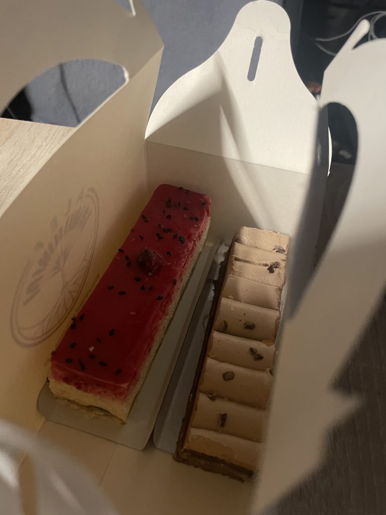
We needed patisserie to feel better after a disappointing ski day
A couple of days later we did get snow, but it was probably not even a centimetre, and the warm weather meant it only settled on top of the existing snow. The sunny forecast made up our minds, we would head off and try to find some more snow. But where to go?
We’d really been looking forward to exploring the Italian side of the Via Lattea, somewhere we have never been before, but it wasn’t to be. The whole area was expecting similar conditions. We decided to head back the way we had come and see if we could find some better snow elsewhere in France.