
03/06/2023
The weather for our trip, which began with sunny days but chilly nights at the end of May, was now turning even warmer. Night time temperatures were increasing and the days promised unbroken sunshine. We wanted to head back south through Wales and we also wanted to be on a campsite where we could get our awning out for shade, so we drove back from Chirk almost re-tracing our steps towards Crickhowell.
Riverside Camping
The campsite we picked out was Riverside Caravan Park where we had the option of non electric to keep the cost down a little. We arrived just after check-in time; no one was on reception and pitches aren’t numbered so we had a short wait while the warden returned from her dog walk. We filled with water and rinsed out the toilet cassette while we waited. I mooched around the campsite which was busy with weekend visitors but very pleasant with flat grassy pitches and super clean facilities.
From the name we expected river views, but there is a large hedge between the campsite and the riverside area. No matter though because instead we got views of Bannau Brycheiniog (the Brecon Beacons) and the distinctive outline of Table Mountain.
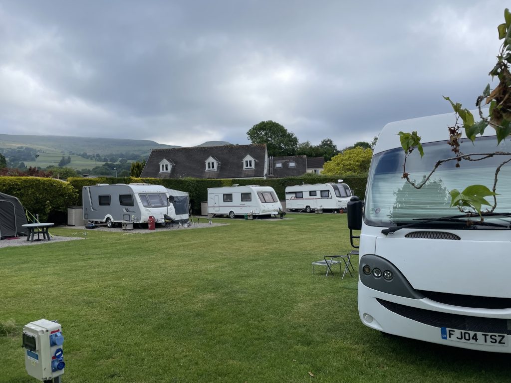
The campsite in a rare cloudy moment, Table Mountain peeking out from behind the bungalow
Crickhowell
Crickhowell itself is such a pretty small town. There is a small high street with a selection of interesting shops including a nice bookshop, a small department store my Nan would have particularly approved of, plenty of cafes, pubs, and a bakery we made good use of. All of this with the hills in the background and, for most of the time we were there, bright blue skies.
The High Street is a short uphill walk the next street over from the campsite. On the other side of the High Street is a park with the remains of the medieval castle and the mound of the old Motte giving good views but obviously used by local teenagers for a bit of a drink and a smoke.
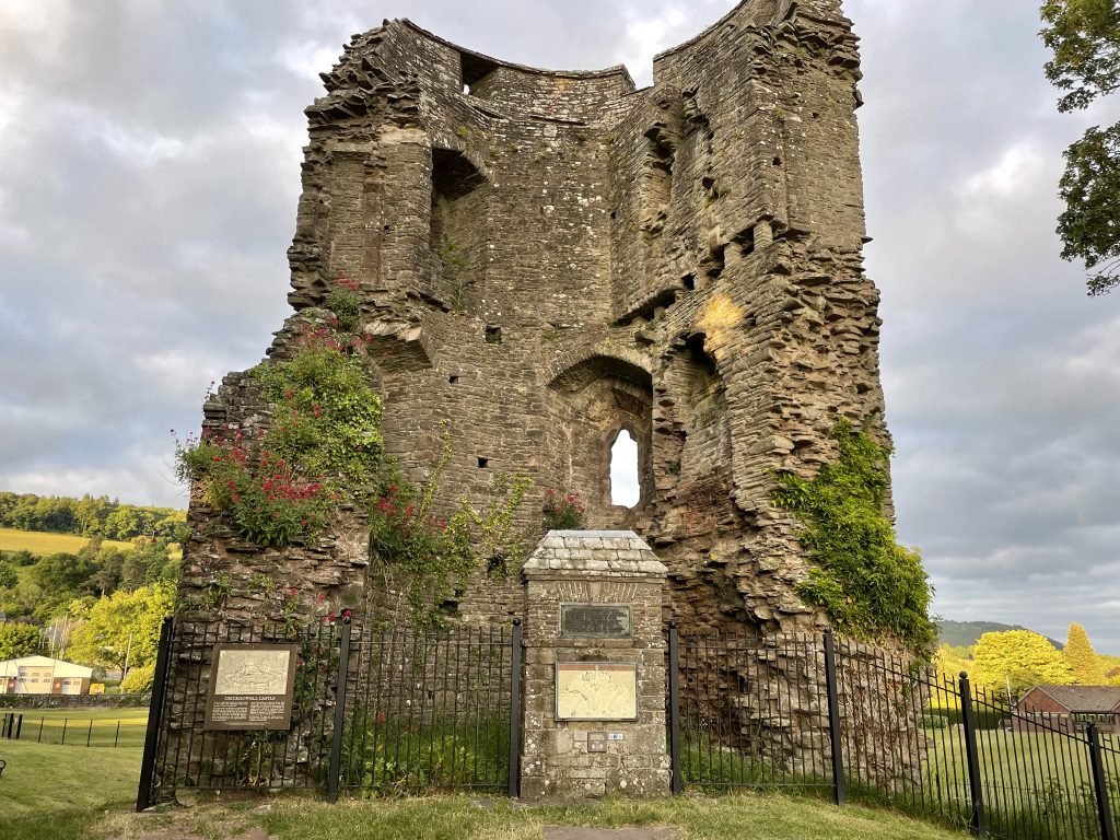
Remains of Crickhowell Castle
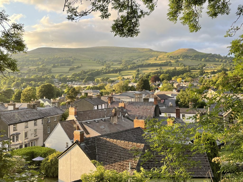
View of Crickhowell with the Black Mountains behind, taken from the castle motte
Downhill to the South was the River Usk, with a lovely grassy area to walk by the river which continued onto a footpath in both directions. This became our evening leg stretcher for the four nights we were at the campsite. Below the bridge was a shingle beach where we could sit and watch the wildlife.
We had read that the bridge across the river had an odd feature – the number of arches on the downstream side was one more than the number of arches when viewed from the upstream side. We did a bit of counting to prove this to ourselves. The reason for this oddity was one of the historic repairs that was carried out following flooding. Not the first or last time there was a flood here. When you see the width of the river valley you can see how easy it would be for the water to expand beyond the river bank and even reach the campsite.
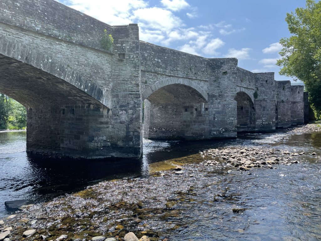
The bridge over the River Usk
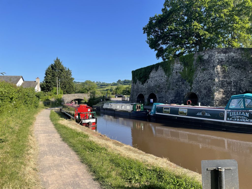
Monmouthshire and Brecon Canal
Over the river, further south, is the village of Llangattock. Here, up a slight incline, you can find a couple of entry points onto the Monmouthshire and Brecon canal. It’s only about a ten minute walk or a five minute bike ride from the campsite. If you’re on the bikes you have to head for the Llangattock Lime Kilns as we found the other entry point was only suitable for walkers with a stone stile and steps down to the tow path.
Llangattock lime kilns
We cycled along the canal to the west on the evening we arrived, stopping at the Coach and Horses for a drink. Another afternoon we walked in the other direction to the Marina basin and then returned across fields to the Crickhowell bridge.
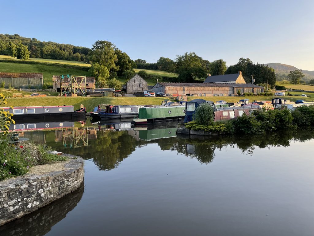
Marina
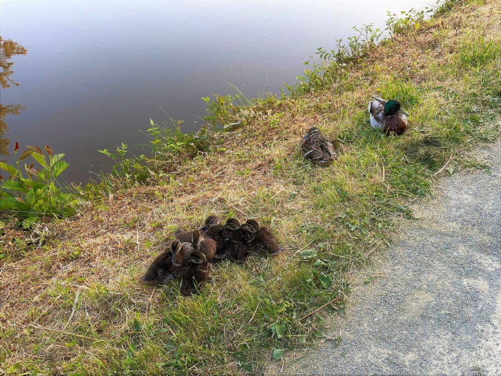
Dock family on the canal side
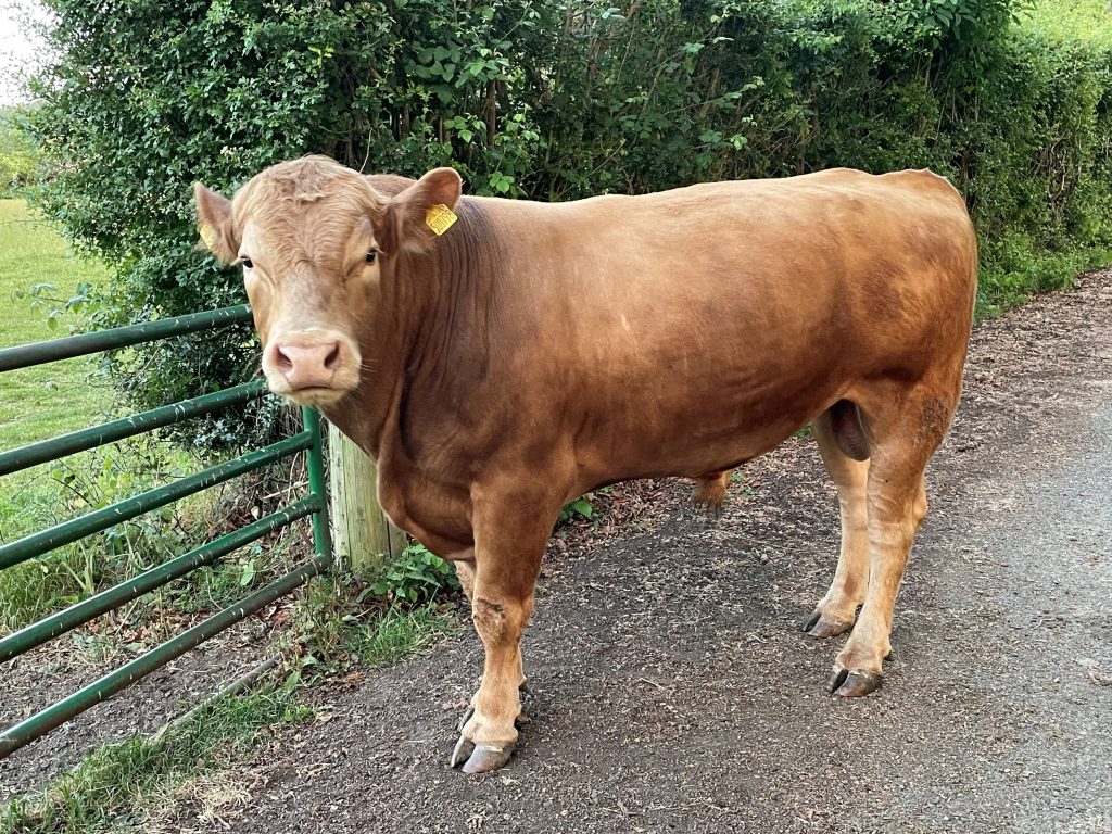
We passed this young Bull on the way back to the campsite. He could hear the cows and was bellowing his frustration..
Table Mountain
With the distinctive flat top of Table Mountain always visible from the campsite it was difficult to resist the climb. In fact Table Mountain isn’t too high a peak. At 451 meters above sea level and maybe 380 meters above our start point the climb up to this ancient hill fort was a good exercise for the lungs but only took us just over an hour. We found our way there by heading North to the main road and then west to pick up a footpath by the School that took us through some housing before we were in the pretty and shaded valley of Cwm Cumbeth.
The hill fort of Crug Hywel (from which ‘Crickhowell’ get it’s name) is very distinctive. I dont know if the flat top was man made or whether man just made good use of a natural feature but you can see why it would have been a very practical fortified settlement. We wandered around its ramparts in the company of a few other walkers before striking out north along the ridge.
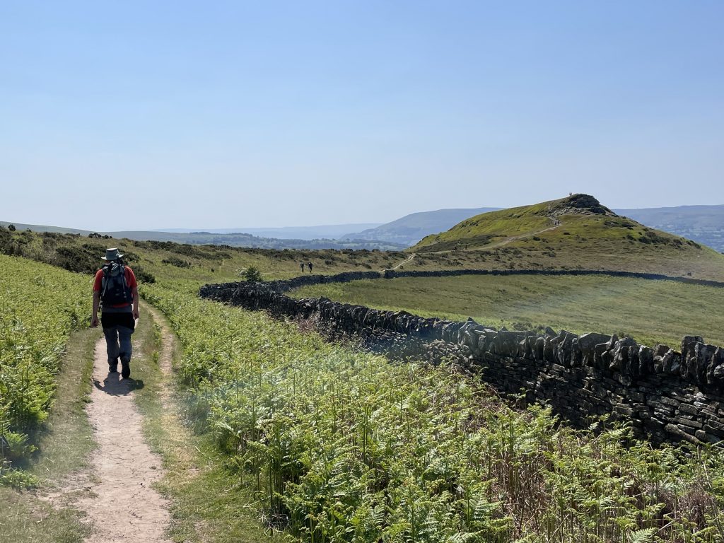
Table Mountain seen as we approached from Cwm Cumbeth
Now the altitude got steadily higher. until we reached Pen Allt-mawr at 719 meters, not the highest point on this Black Mountain ridge, but the highest we were going to get. The walking was very easy, along a earthy wide path where ponies cropped the grass. You could see that it might get boggy in wet conditions but after such a dry start to June we had no problems. There were good views all the way; across the mountains and down into the valley. The hawthorn bushes along the sides of the valley were full of white and pink blossom, more than I have seen for years.
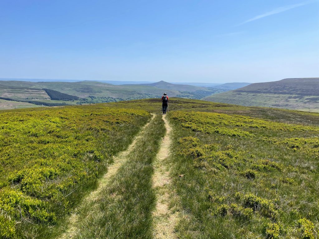
Easy walking along the ridge
We crossed the head of the valley to the small top of Pen Twn Glas and then walked gradually south down the ridge. The views weren’t as spectacular in this direction, the ridge was wider and less pronounced. There were a few interesting features with old quarry scars, possibly from lime production.
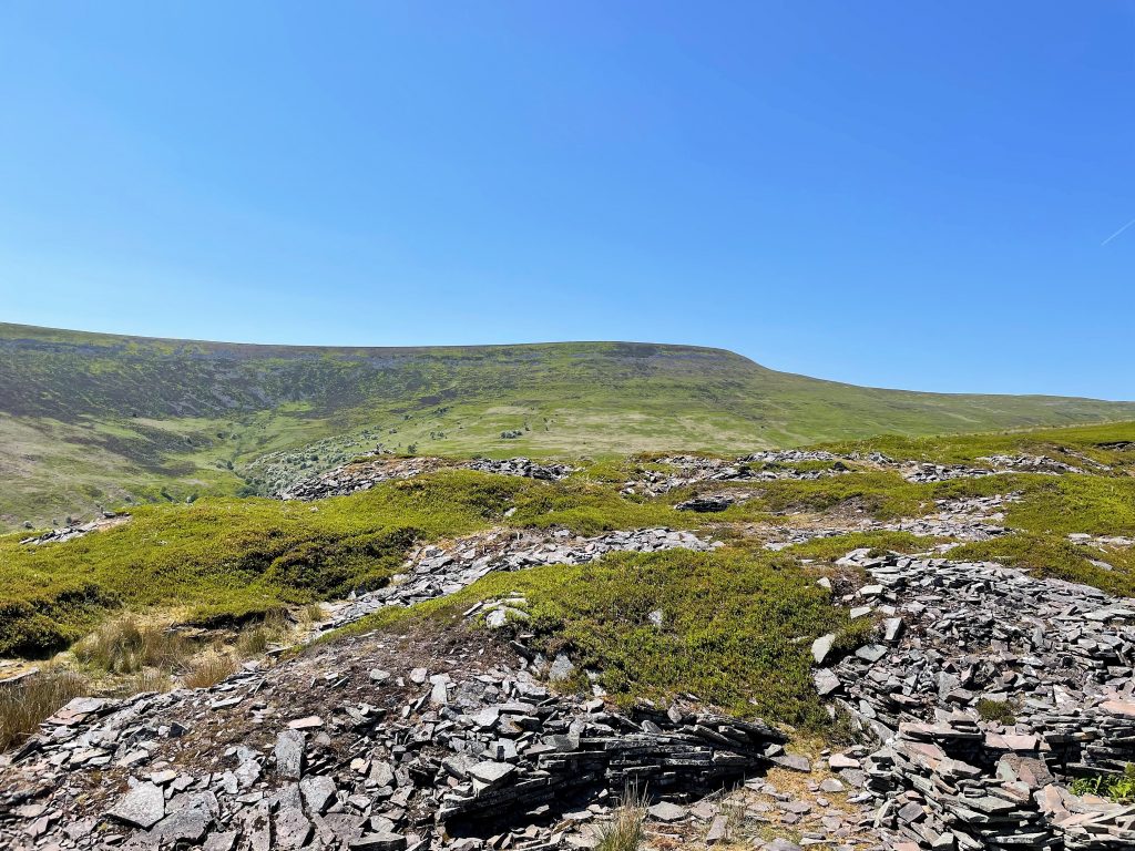
Old open quarry pits
Eventually this path crossed the boundary from common land to farm fields and then we briefly walked down the road before heading back towards Table mountain. On the road we had a chat with a farmer measuring the width of a small stone bridge to check whether his delivery was going to make it through to his farm
From Table Mountain we followed the Brecon Way down into Crickhowell where we just happened to find a pub open for a drink. We needed it after 22km in the unrelenting sunshine.
Craig y Cilau Nature Reserve
We did one other walk from the campsite, slightly shorter than our Table Mountain day out but in some ways more difficult. This was a circular walk to the south that took us via Llangattock to Craig y Cilau nature reserve. The walk there and back across fields was frustrating in places; stiles were broken, gates chained shut and fields overgrown. At one point a group of rowdy bullocks wouldn’t leave us alone and we had to slowly back away from them until we could vault a gate. Later we were walking through seemingly abandoned farm buildings when the frantic barking of dogs alerted us to a kennels that looked and smelled pretty unpleasant.
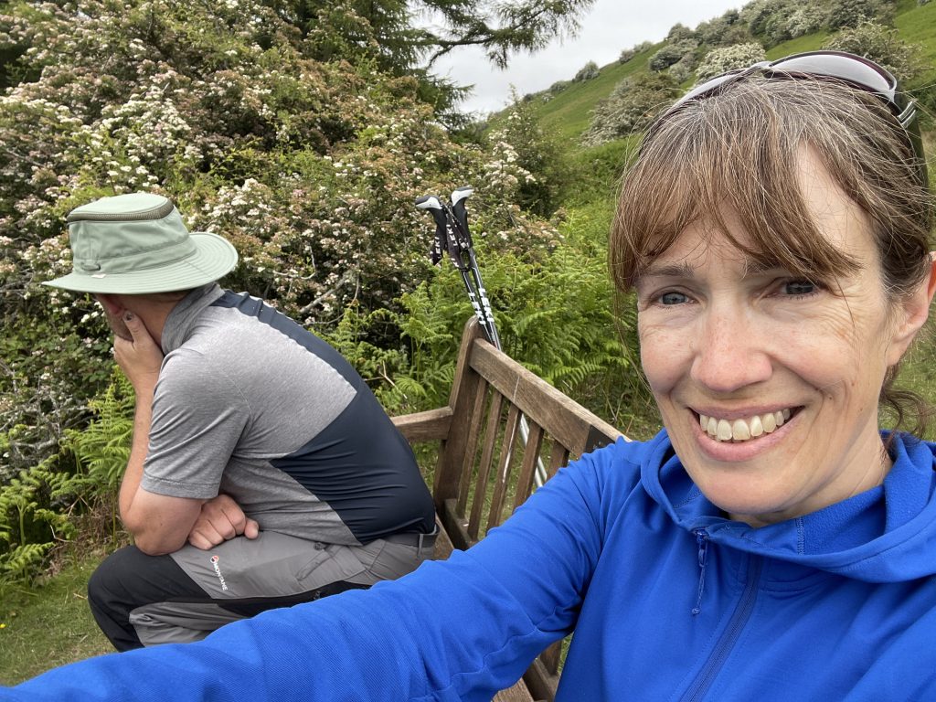
A rest stop after a stressful walk
However the nature reserve itself was a beautiful spot beneath the cliffs of a disused quarry with a couple of paths, one lower along the edge of the reserve and another higher along the old quarry tramway. Unlike Table Mountain we had this all to ourselves, only seeing one other walker as we left to walk back. It’s definitely worth a visit but I would take a more direct route form Llangattock.
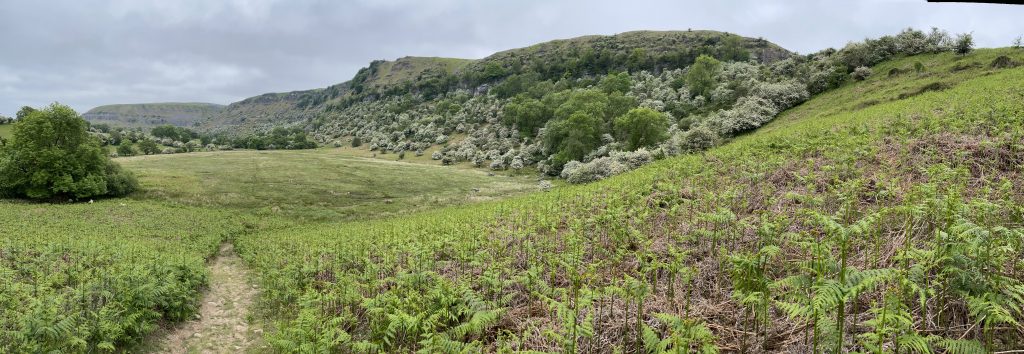
Looking back towards the cliffs of Llangatwg Quarries. Look at the white blossom of blackthorn!