04/04/23
This is a story of two separate days in the same location, separated by a week in Cervinia (about which I will post, it just made sense to bundle this together).
In fact the location – Chatillon – may win the prize for the most separate visits by Bertie. Not because it has a host of amazing tourist sights but because it is a practical little stopover. The parking spot includes basic services plus electricity, is just across the road from a CONAD supermarket and across the next road is the Lava Piu, a self service launderette.
We have stopped here before on out way in and out of the Val Tournenche, and here we were again a few years later. Little had changed; the payment machine was now working AND payment could be made by app (although you would incur a hefty 75 cent surcharge for the privilege, the laundrette costs had increased by 50 cents a wash, but otherwise all looked the same.
Chatillon Town
On our approach to Chatillon the main road was closed and we were directed down an alternative road through the side of town we had never visited. Various people in high vis jackets directed traffic in any tight spots and we made it through without any dramas, but it did make us realise that despite all the times we had been to Chatillon we had never ventured further than the sosta, the supermarket and the laundrette.
Our first attempt at remedying this was to walk from the sosta into the town. We had already made use of the laundrette so it was late afternoon when we walked up past the bus station into the older area of the town where we walked the streets past a number of closed shops and bars that were just setting up their tables.
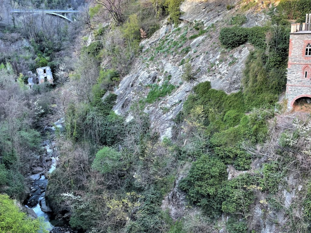
Looking north from Chatillon
Above us we could see an impressive building that looked like a large town hall or stately home, but we were soon distracted by the bridge over the gulf of the Torrente Marmore. Looking down from the bridge we could see a second, more interesting, bridge. We meandered downhill to find it and found ourselves confronted by a strange double arch. The lower arch, suspended delicately below the stone cobbles of the main bridge was the remaining part of the original Roman bridge that stood here. This was part of the Roman route through the valley that we had heard about in Aosta, and also part of the pilgrimage route the ‘Via Francigena’ that starts in Canterbury and ends in Puglia where ships would take pilgrims to the Holy Land.
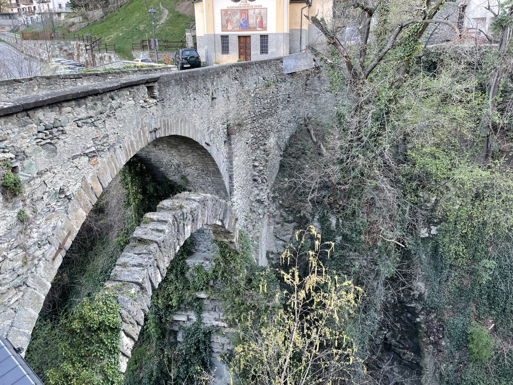
The ancient Roman arch under the newer medieval bridge
Working our way back to the sosta from here we climbed through more cobbled streets accompanied by the sound of hidden water rushing down into the river.
Castello di Ussel
From the sosta we could see a ruined castle across the other side of the valley. On our return to Chatillon we did some more laundry before deciding that we should make it our objective to get to the castle.
The potential problem was three obstacles; the valley has a river to cross, a motorway to avoid and a railway line to navigate before we could even start to look for the path up to the castle.
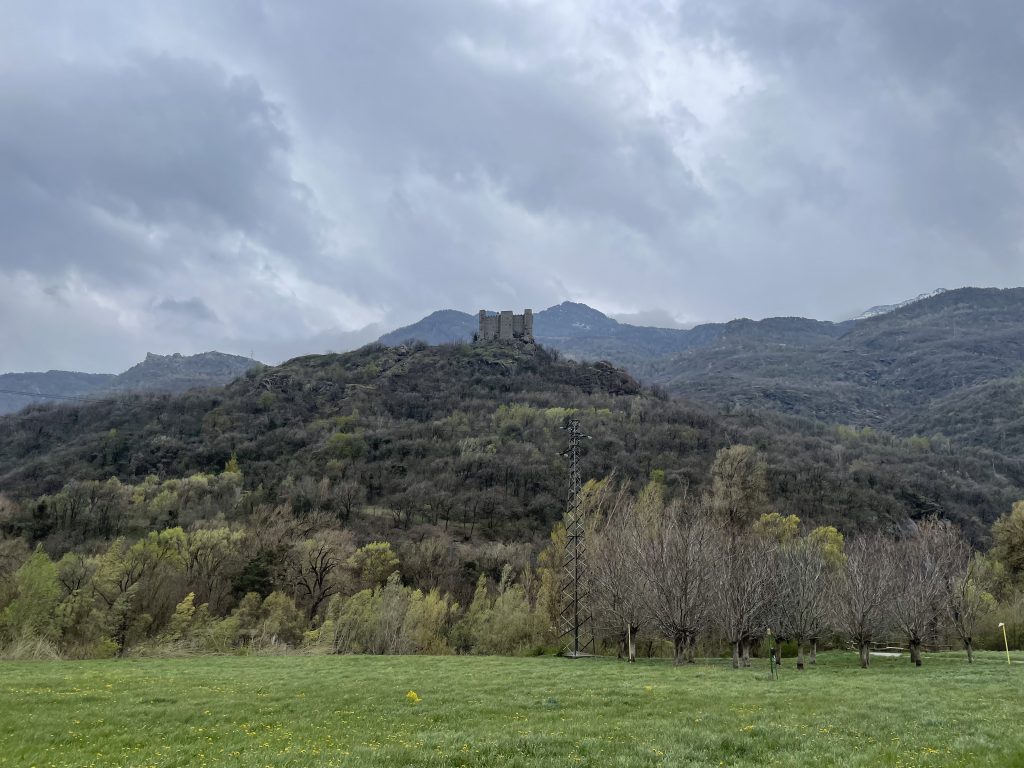
Distant view of the castle
It took a little detective work to find our route. Wikiloc is an app that allows people to record routes and also hosts various open source map data. We found that we would be able to use a marked path to walk up behind the electricity generation plant on the river and reach the castle.
Working backwards we saw that the cycle route that runs alongside the river would allow us to access a bridge over the river that would take us to the start of the footpath. The cycle route would take us under the railway line. So that was two of our obstacles overcome.
But it was difficult to work out how we could get to the cycle path without a massive detour. In the end we decided that we would just strike out and investigate a couple of possible options using farm tracks and hope that one of them was accessible.
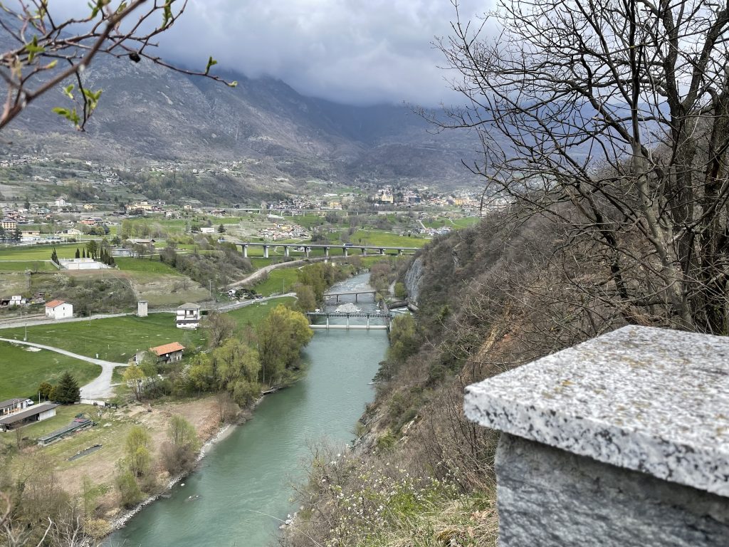
Looking back at all of the obstacles we’d navigated
We were (I was) scared off the first option by a slavering hound on the end of a chain. Maybe a bit over dramatic but it frightened the life out of me as it leapt out from behind some farm machinery with barking and the rattle of it’s chain. I immediately go the impression that visitors were not welcome on this land and we retreated.
But from that path we could actually get a clear view down into the valley and see where another farm track ran under the motorway and joined the cycle path. So long as we could get through the cows it seemed promising . This time dogs may have barked, but they were fenced in and didn’t leap out at us. Plus there were some chalk arrows on the ground that looked like race markers for cycling or running. We felt pretty secure and as we approached the cows we could see they were behind an electric fence and there was a route through to the cycle path. Success!
The cycle path was pleasant but there was a definite problem with Japanese Knotweed. The dried remains of reed like stems from last year were all the way along the riverbank and new shoots were pushing up through the tarmac.
The remainder of the walk was much less eventful. We climbed up through trees with views of the river. We popped out right next to a road (Paul did ask if we could have just driven up) and soon found ourselves at the castle. Sadly the castle was closed but through the windows we could see that, although there had been some restoration it had also been left partially open to the elements.
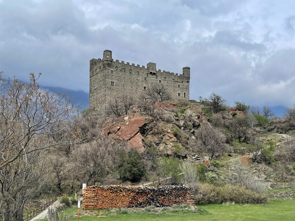
The castle looks a lot less like a ruin up close
A notice board told us that it once been owned by Marcel Bich, he of the BIC pen, disposable razor and lighter, whose family had come from Chatillon. He subsequently gifted it back to the locality to make it available to the public (the cynical might question whether he wanted to offload a costly albatross). As we couldn’t visit we laid on the lawn looking at the mountain views before heading back down the way we came – a much less eventful journey.
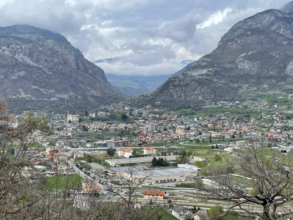
Views of Chatillon
We could have easily fallen into the trap of just using the town as a convenient stopover, but it was really nice to explore and squeeze a little more from the area.

Pingback: Chamois - the Village you cannot reach by Car. - Taking the Long Way Home %