
20/10/2025
We woke at Kvina after a good night’s sleep. We had another day of driving and sight seeing planned as we continued the Helgelands Coastal Trail.
Gronsvik Coastal Fort
Our main stop was Gronsvik Coastal Fort. This is one of the Helgelands museums. The main museum building was closed, but the restored fortifications were open for anyone to explore.
Gronsvik Coastal Fort was part of Nazi Germany’s Atlantic Wall, a defensive network from the cold Arctic down to the Spanish border, designed to keep the British and their allies at bay. Here at Gronsvik the fortifications were built into the hillside to keep it as hidden as possible. Prisoners of War from Russia and Poland were used to do the digging and seven Russians died during the construction.
The Nazi troops stationed here surveyed the coastal route through the myriad of small islands, watching from their hidden bunkers for ships or submarines. When the war ended they retreated and, as we’d learned in previous locations, destroyed their fortifications as they left.
We had the site to ourselves as we made a lonely exploration of the tunnels and buildings, finding our way through corridors into rooms blasted from bedrock and searching out concealed entrances. At one point wading through ankle deep water into a bunker, at another, staring out to sea through the narrow slit of a pillbox.
-
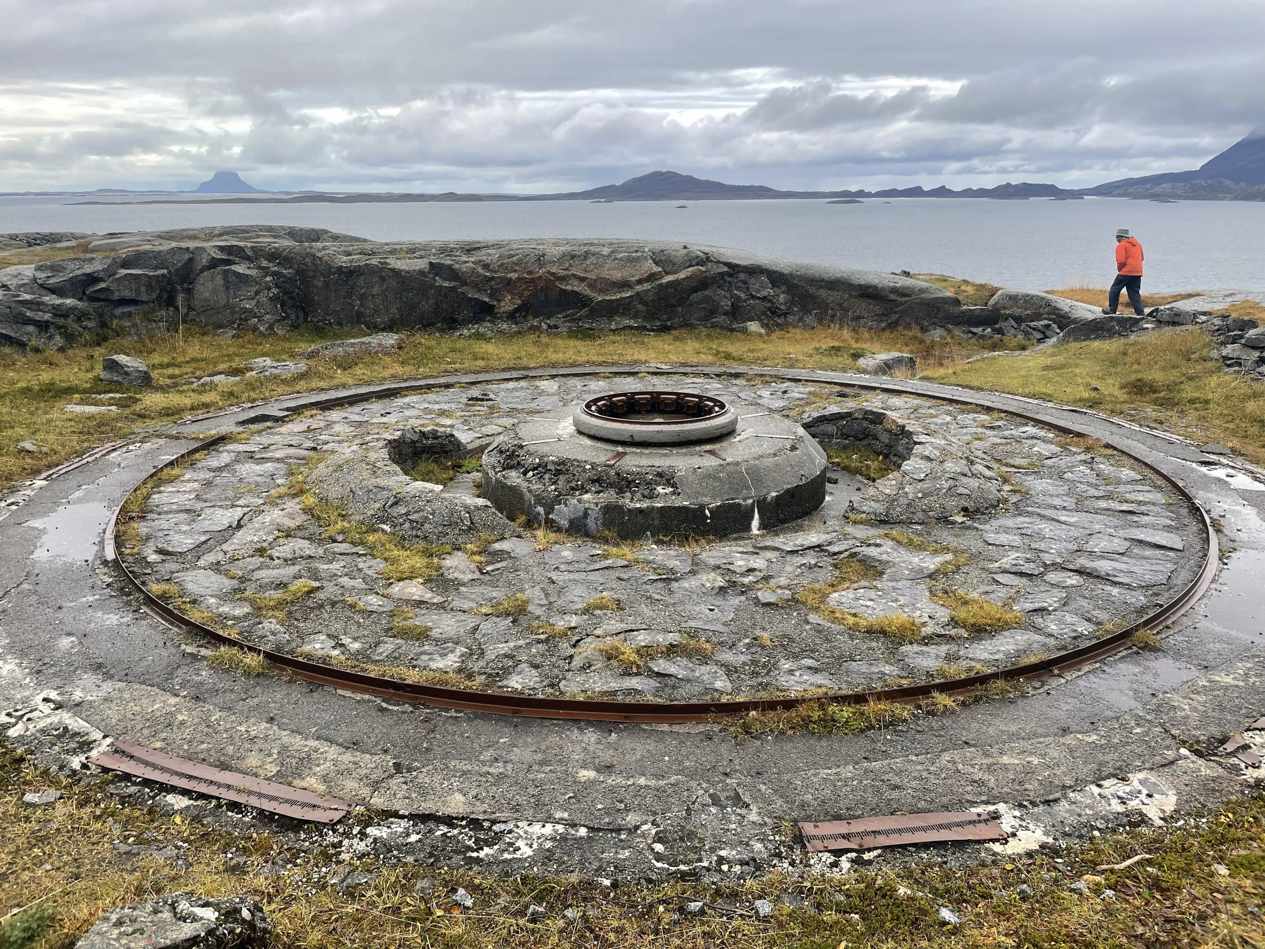
- Gun emplacement
-
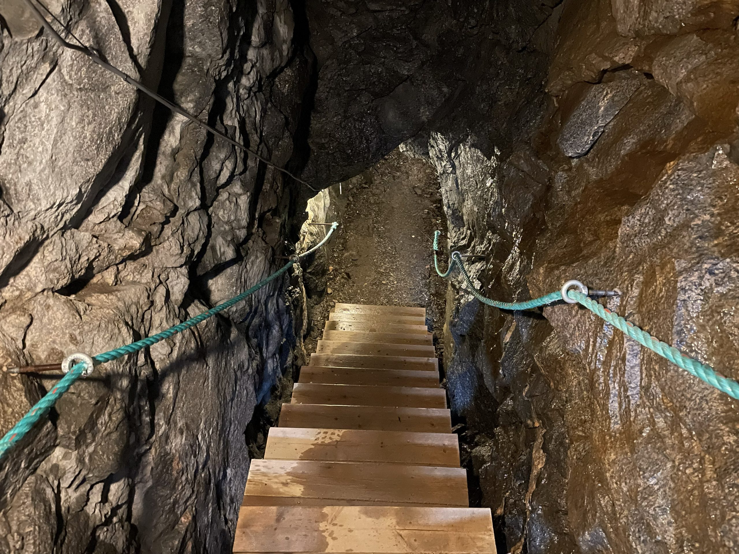
- Tunnel blasted in the rock
-
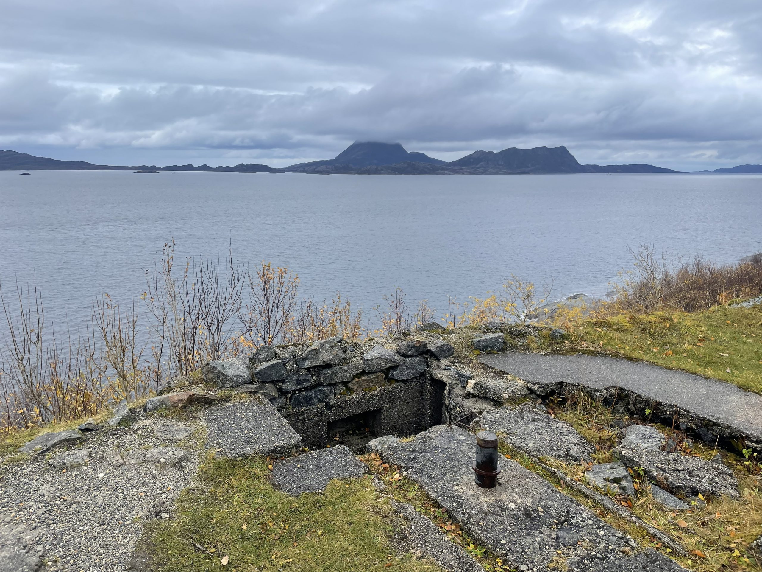
- Lookout post
-
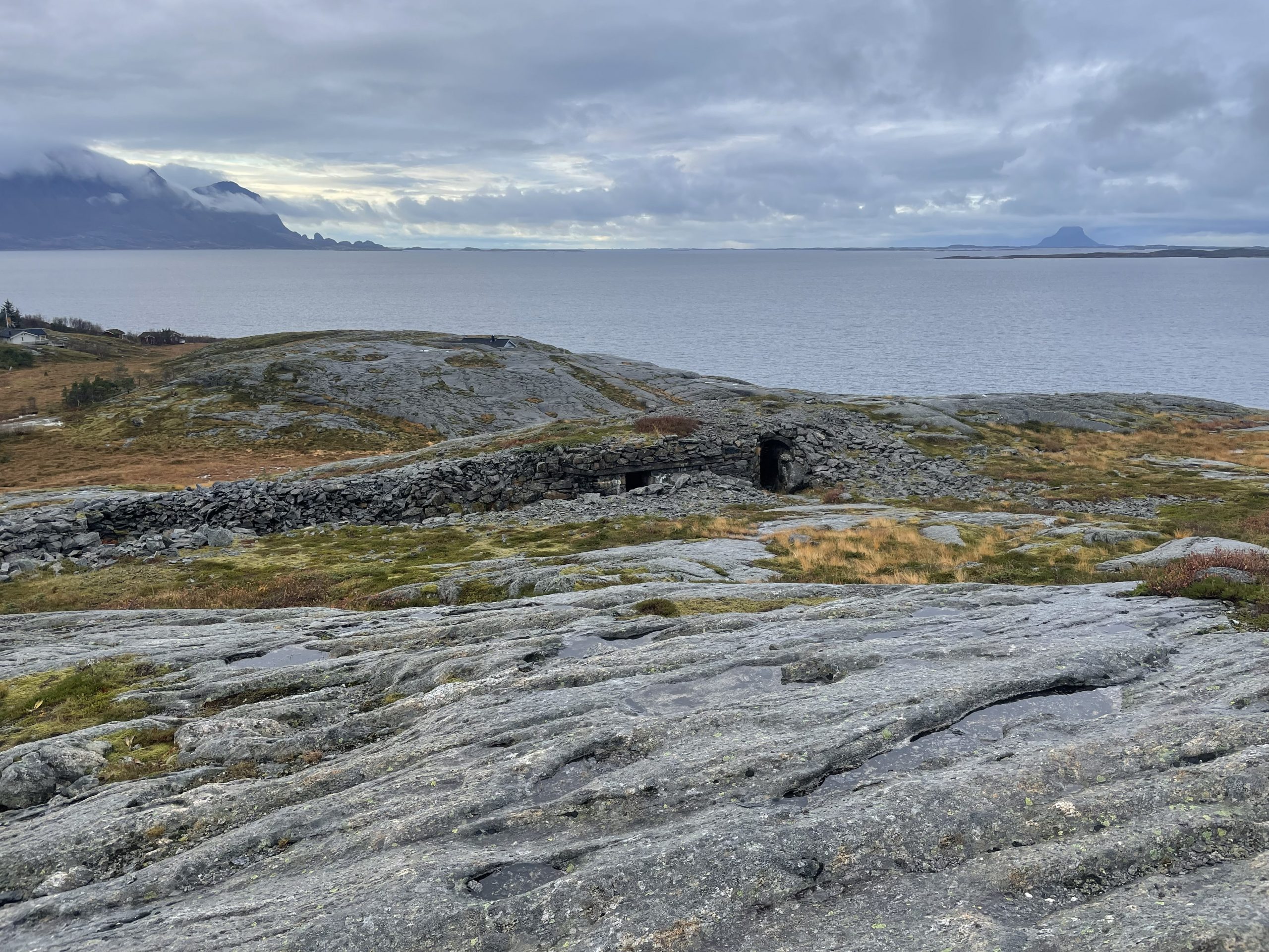
- Buildings hidden in the landscape
Moose Spotting
We drove on past mountains, through mountains and along the narrow edges of deep fjords where the mountains plunged into the sea ad Paul was deeply tempted to go fishing.
-
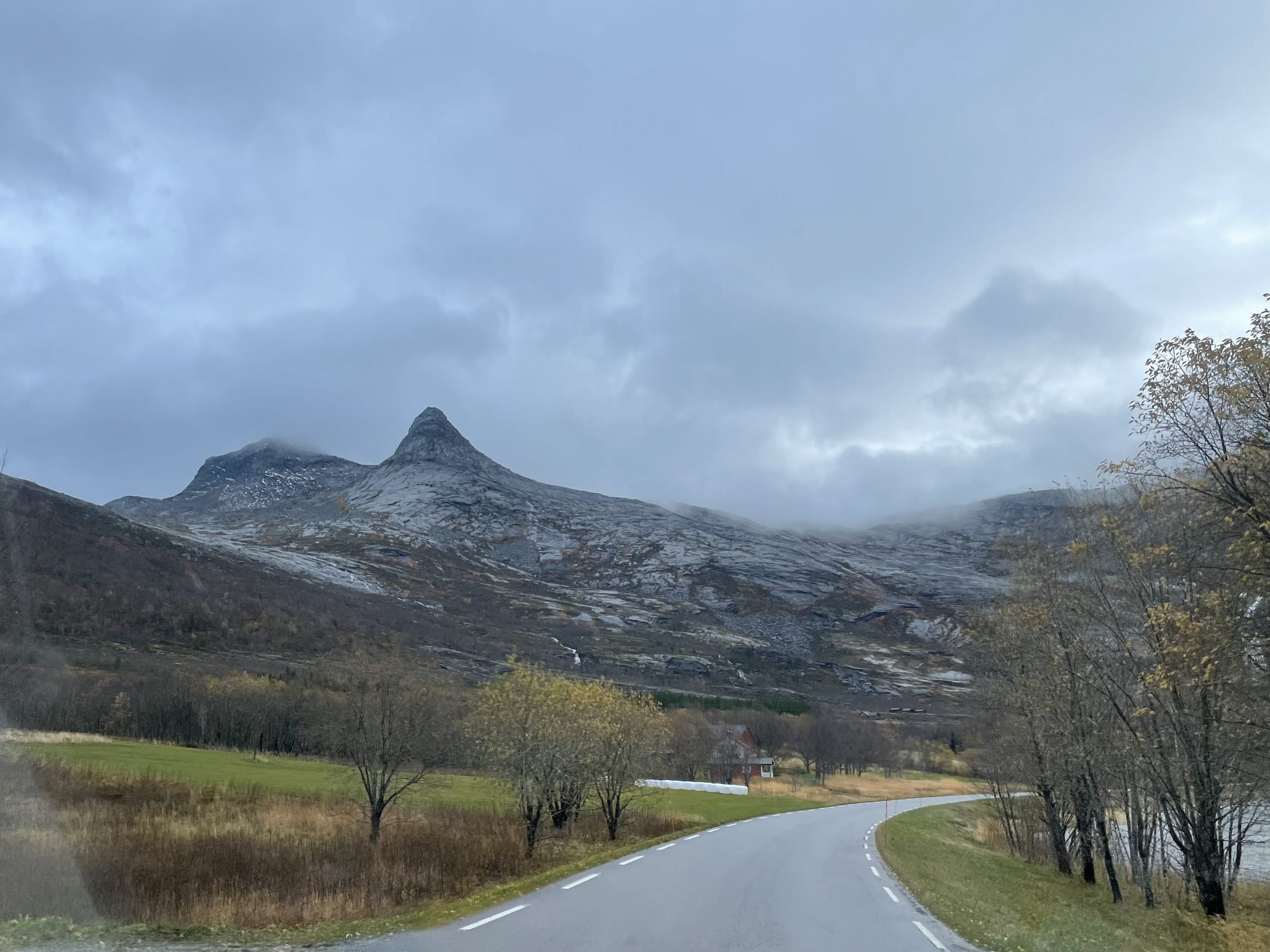
- Driving south
-
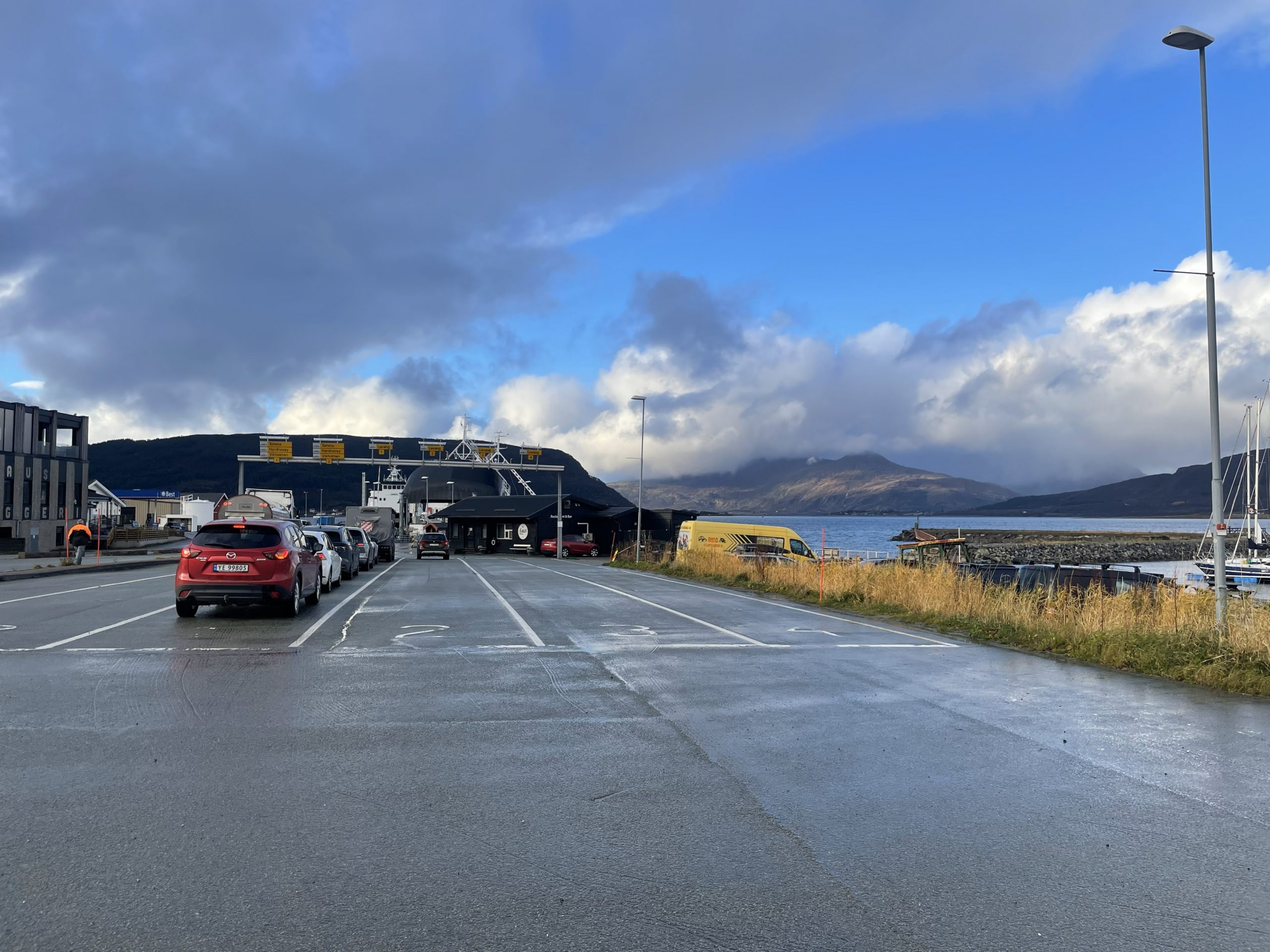
- Waiting at Nesna
-
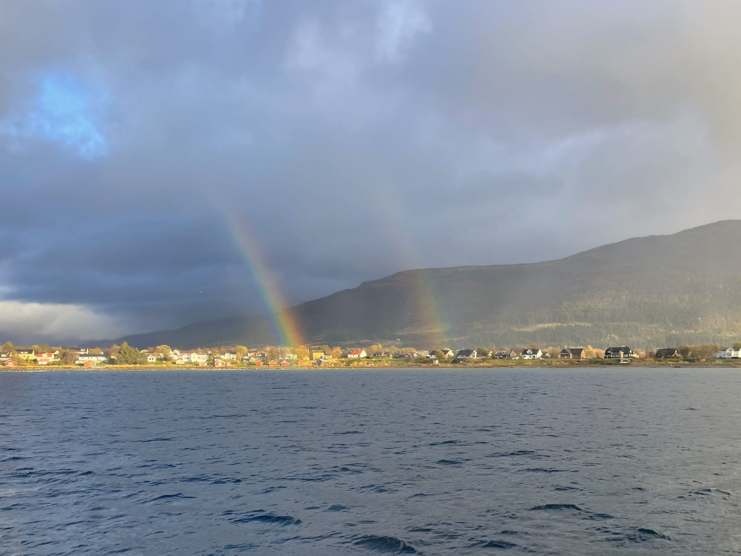
- Double rainbow as we cross the water
At Nesna we got on our third Ferry of this route and then we crossed the Helgeland Bridge to the island of Alsta where we were intending to stop for the night.
Alsta is a long narrow island with a backbone of mountains. These are the Seven Sisters, not to be confused with the waterfalls of the same name further south in fjord country. We wanted to climb the furthest and smallest of these mountains so we drove to the far end of the island where the trailhead car park looked like a possible candidate for an overnight stay.
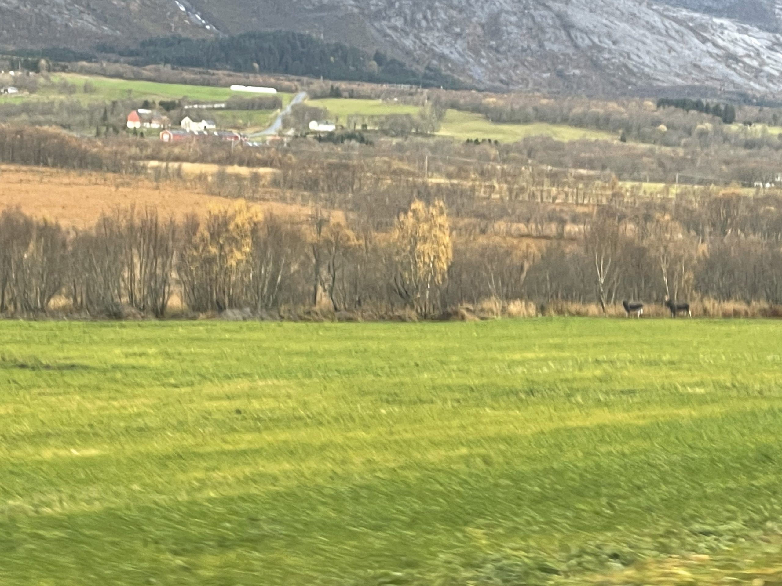
As we drove next to the green meadows that run along the bases of the mountains we spotted something in the distance. They weren’t deer or reindeer, they definitely weren’t cows. They were moose.
We have been trying to spot these elusive animals for weeks, and here they were standing out in the open as though they hadn’t a care in the world. Moose generally browse on trees rather than grazing, but when the weather has been cold they can sometimes come out into the open. As their legs are so long they find it difficult to graze so they have to bend their forelegs, giving them a very distinctive outline.
Paul turned around at the next opportunity so that we could drive past them again and I took some very blurry drive by photos. It was a very exciting moment.
-
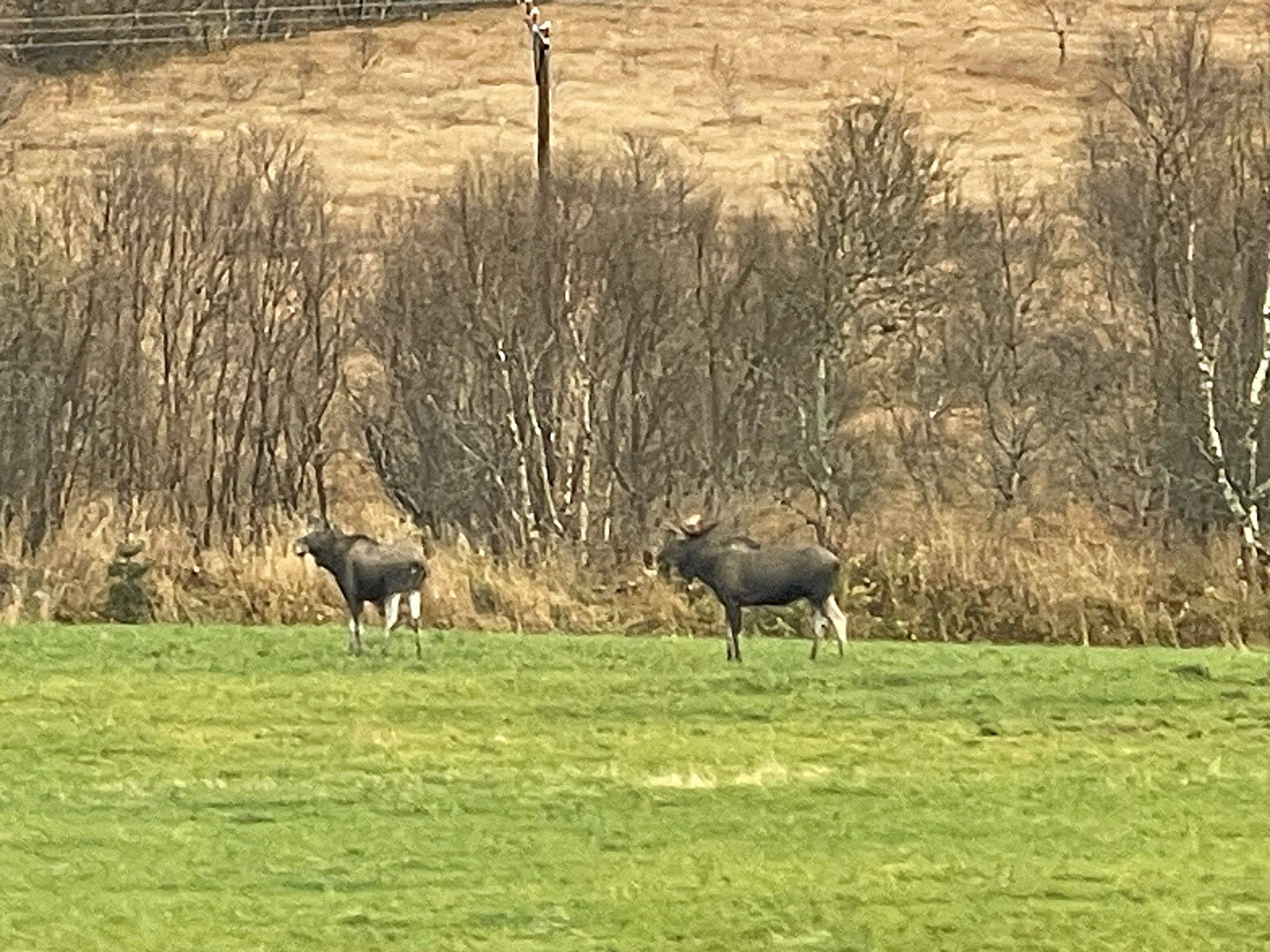
- Some blurry photos of moose
In Norwegian these Moose are called ‘Elg’ which confused us a little. Is there any difference between an Elk and a Moose? The answer, if you are curious, is that in Europe the two words are used interchangeably for the same species – Alces alces. In North America though, things are different. The Alces alces is a moose, a completely difference species – Cervus canadensis – is an Elk.
Overnight at Sandnessjøen
We did a further turn around and drove past the moose again on the way to our target overnight parking, but when we got there a clear sign told us that we couldn’t park overnight. Although we don’t mind being a bit cheeky when we’re staying somewhere in low season, we prefer not to flagrantly disrespect a No Overnight sign. We turned around yet again to head for an official parkig spot right at the other end of the island in Sandnessjøen. We had seen a lot of this road.
We drove through some residential parking to the marina in Sandnessjøen where we parked for the night, paying with the Go Marina app. We didn’t see much of this location, we arrived shortly before dark and left early the following morning to drive back along that road again to start our hike.
Hiking Breitinden
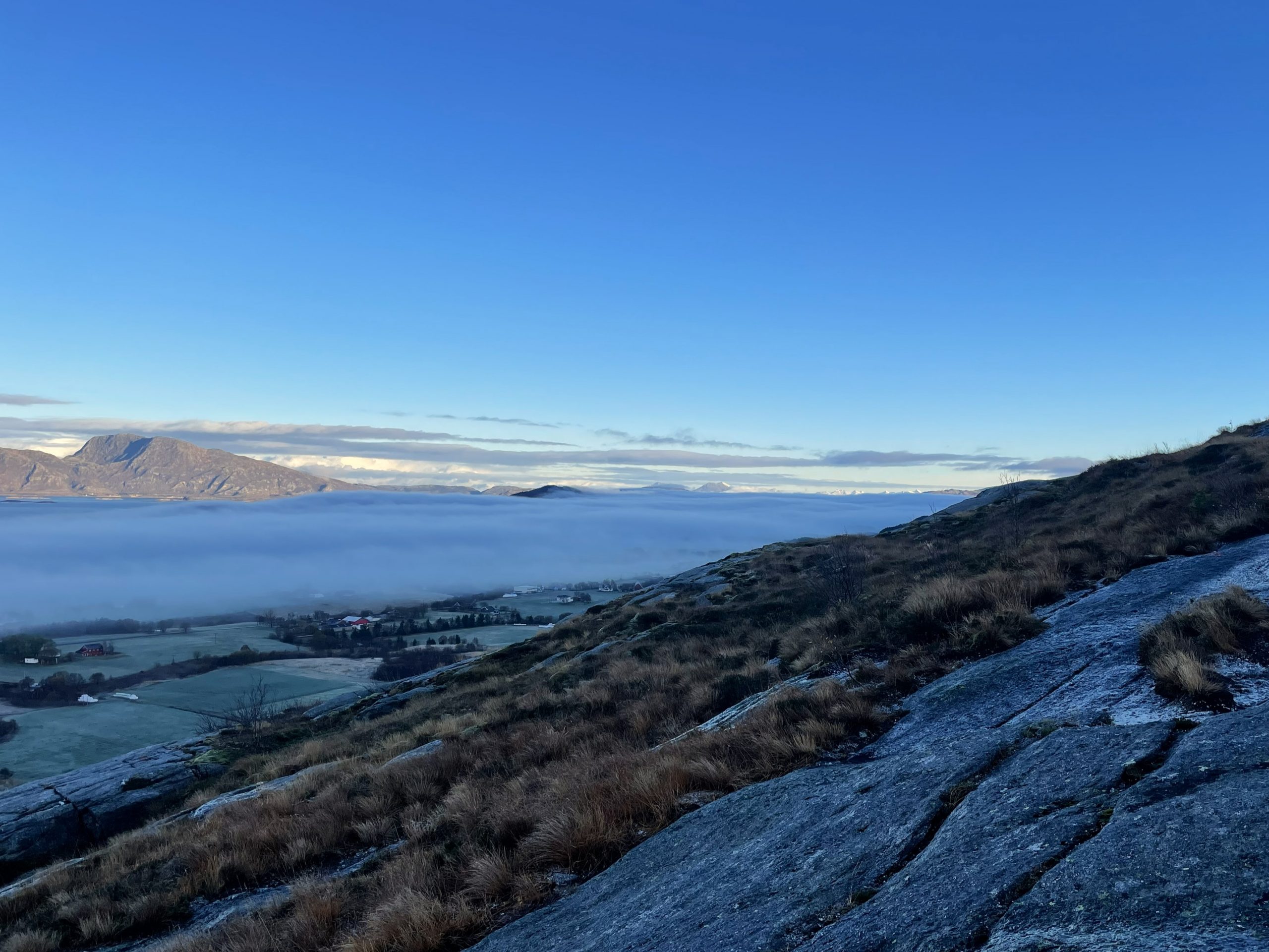
The morning was cold and bright, the damp murk of the last few days had cleared away, but as we drove back to the trailhead we could see that the mist still lingered in the valleys.
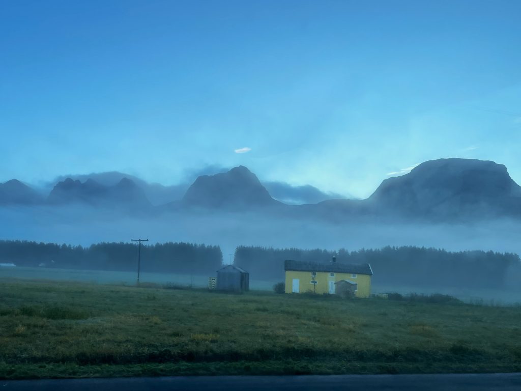
The peaks rising from the mist
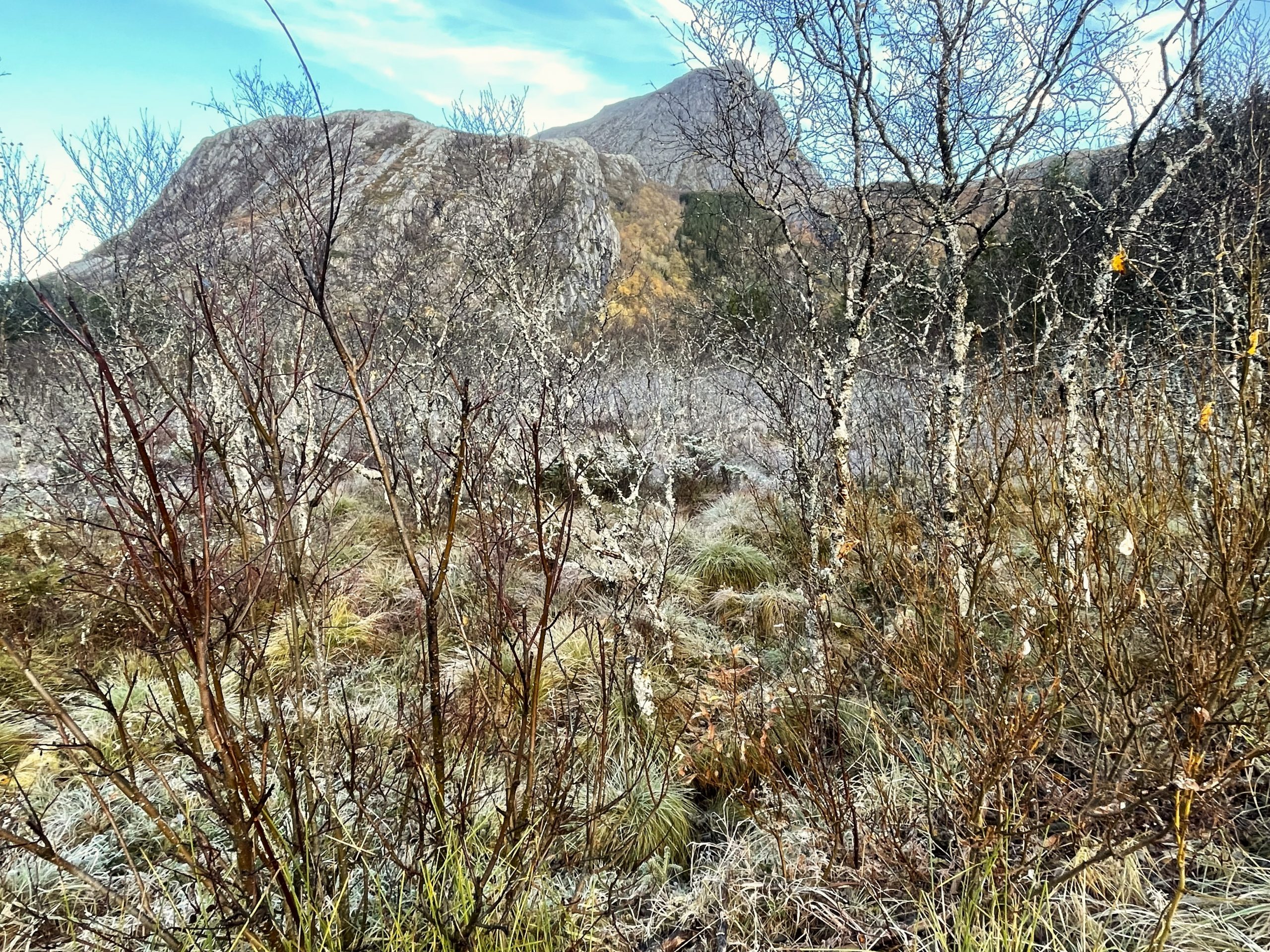
The Seven Sisters are said to be seven troll maidens, turned to stone by the rising sun as they fled from a persistent suitor. Breitinden, at 910 meters, is the lowest of the seven peaks and the one furthest south. Just because it was the lowest didn’t mean it was the easiest as we were to find out.
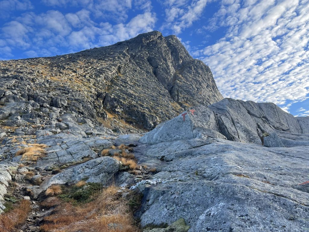
We parked at the trailhead and readied ourselves for a cold and steep hike. Above us we could see the outline of the mountain which was in two parts. An initial climb up to a shoulder, and then a further climb up to the triangular summit.
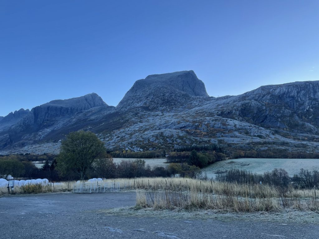
Checking out our destination from the trailhead
After a short walk through farmland and woodland we were ready to start the first part of the climb. This was over an area of glacially smoothed rock, covered in a thin icy verglas and just a bit too steep to be comfortable. Red Ts marked the way up the rocks but where possible we avoided walking across the slippery sections and instead followed the lines of vegetation between the rocks. We felt a little silly when a woman and her dog bounded up past us, skipping across the rocks as though it was a dry summers day.
-
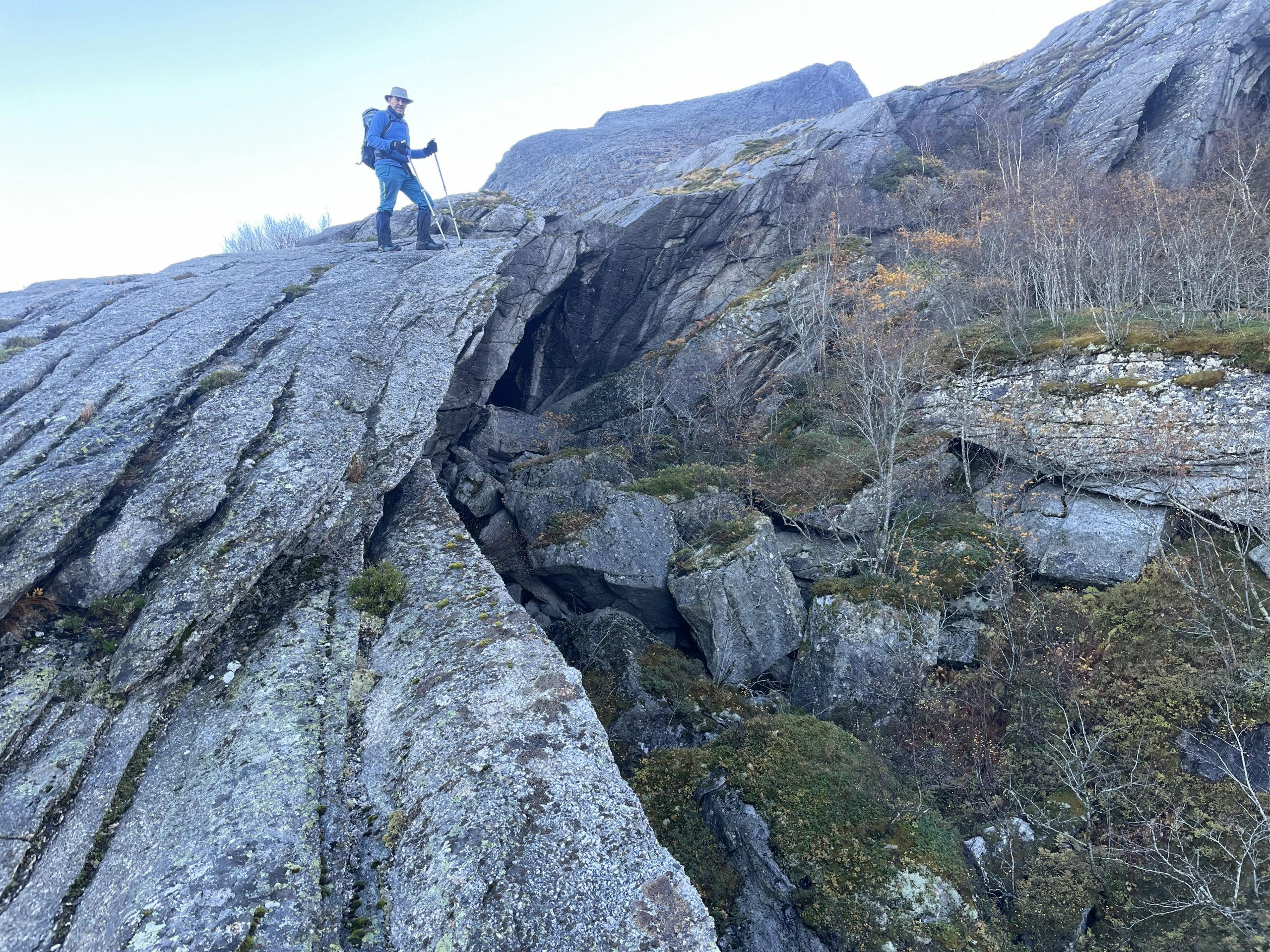
- Smooth slippery rocks
-
- And views of the cloud inversion below
When we reached the shoulder we sat and had a snack, a second breakfast, before tackling the next section.
View of the summit from the shoulder
The nature of the terrain changed substantially here, instead of smooth slabs of rock we had boulders to clamber up. This was a lot easier. The rocks were at angles that allowed reasonable footholds and the frost and ice didn’t have such an impact. We met the woman who had passed us earlier, she had turned around because her dog was finding the boulders too difficult.
As we got to the summit we saw snow patches and the frost got thicker. The route got steeper and the footing more slippery again. We bailed after three hours at 840m when we met another person descending who said that the summit was very icy. He’d ascended from the other side.
-
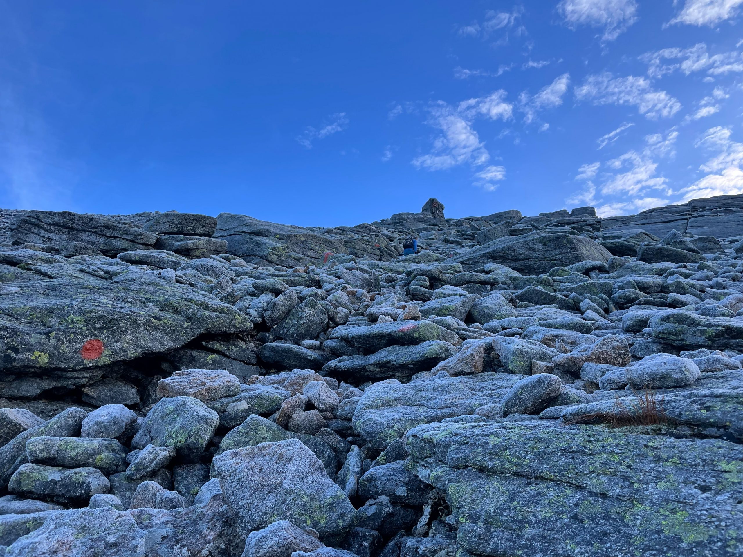
- Climbing over rocks and boulders
-
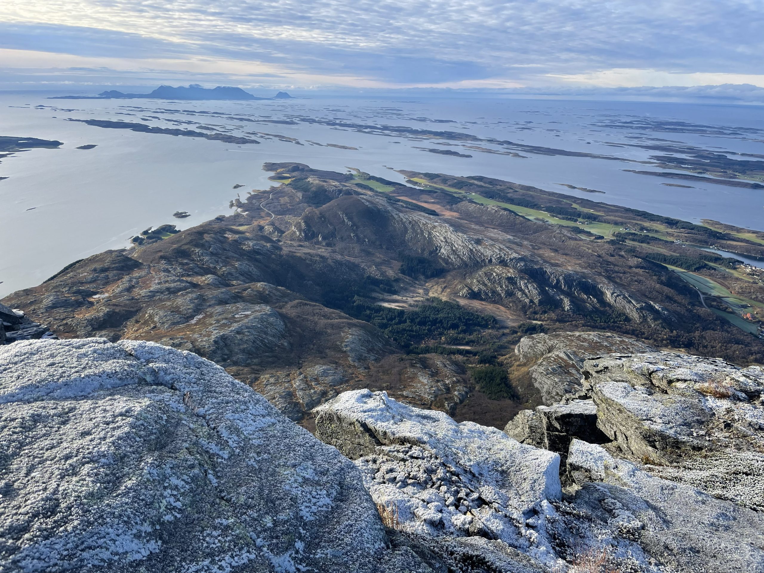
- And more stupendous veiws
Climbing back down to the shoulder was harder than going up as we picked our way over the rocks. We stopped for some lunch and talked about our route down. I was not keen to slide down over the icy rocks below us so suggested that we followed the circular route that continued south east and then circled around to the west.
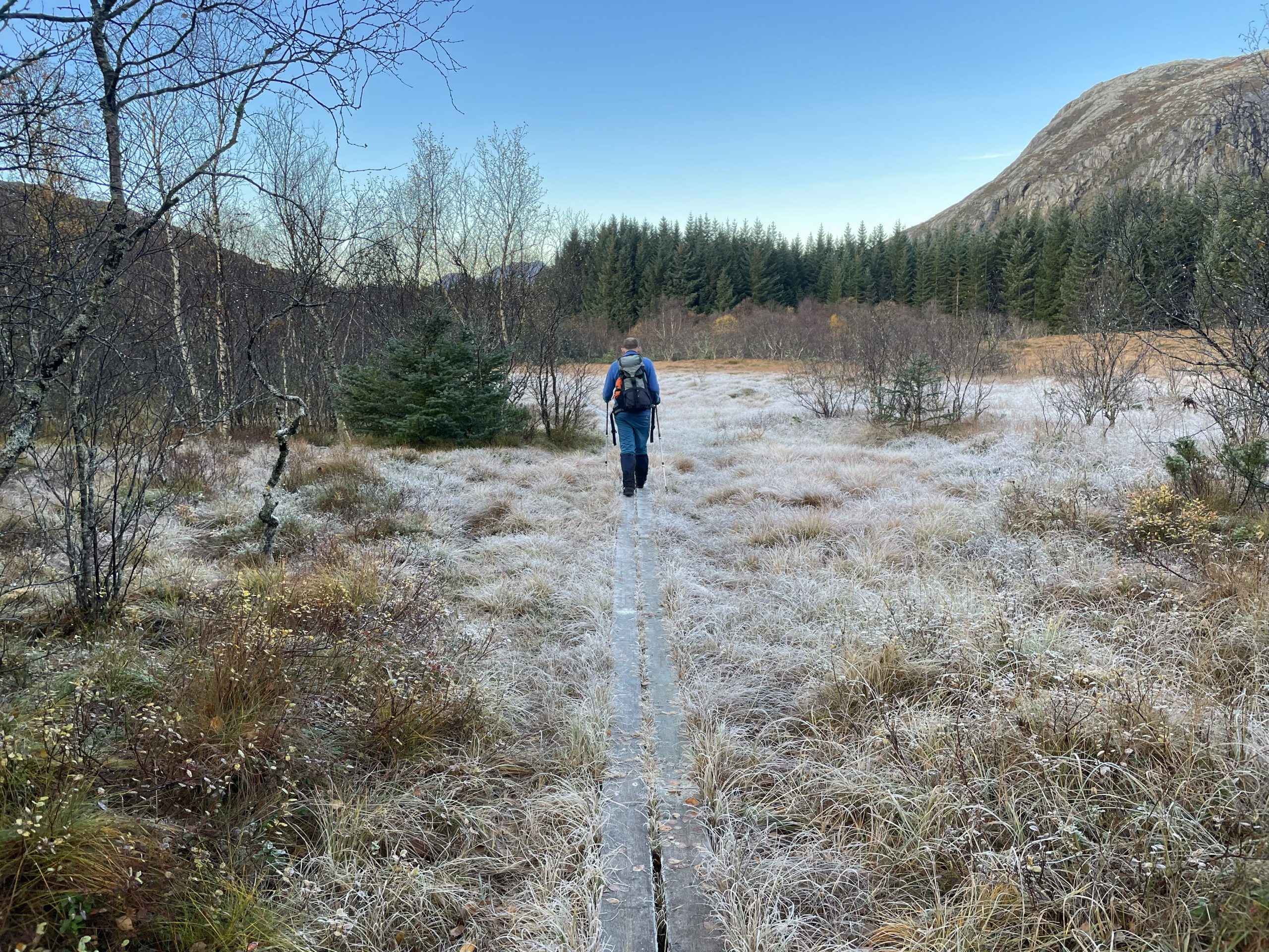
This was a lovely route over the moorland, across rocks and peaty paths, crossing streams and threading our way through frost rimed trees. Even so we were very happy to see the van after six and a half hours of walking. It had been a big one!
-
- Making our way back to the van
-
- Still very frosty in the shade of the mountain
-
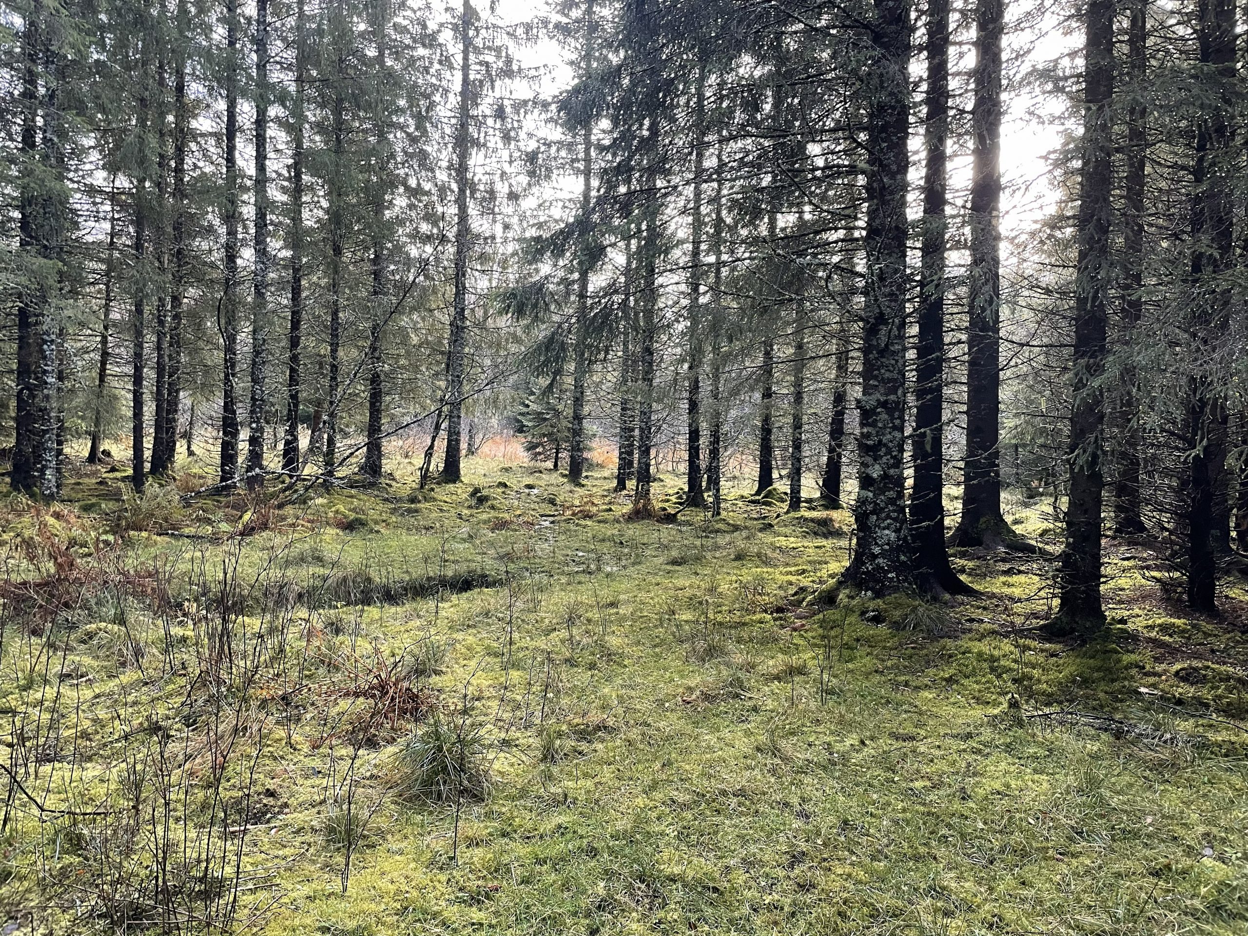
- Magical forests