
20/08/2025
We set off from our campsite heading a few kms on to Oppdal. We’d read that there is good mountain biking in the area. On the way I’d earmarked a couple of stop offs for tourist attractions. We set off in the sort of grey mizzle that sneakily gets you completely soaked within minutes. Our waterproofs were ready. This was the first day of our trip that promised to be properly wet
Kongsvoll Botanic Garden
A parking area on the side of the road at Kongsvoll is mostly used by hikers who might be walking a bit of the Kings Way, or St Olav’s Pilgrimage route (both of which converge here) or maybe headng deeper into the national park to see the Mus Ox, or the wild reindeer. This morning there was also a couple in camouflage preparing their rifles for some hunting.
It’s also a car park for the Kongsvoll Botanic Gardens, a small area of land with a variety of habitats, rocky cliffs, streams and open slopes. The walkways around the area are lined with small placards providing the Norwegian, British and Latin names of various plant species. It was Thekla Resvoll who established a botanic garden here, originally at the station. She was a botanist who studied the plants that grew in the short springs and summers of the cold Norwegian climate. The garden was moved to it’s current location and is now maintained by a charity. It was free to visit and highly informative.
-
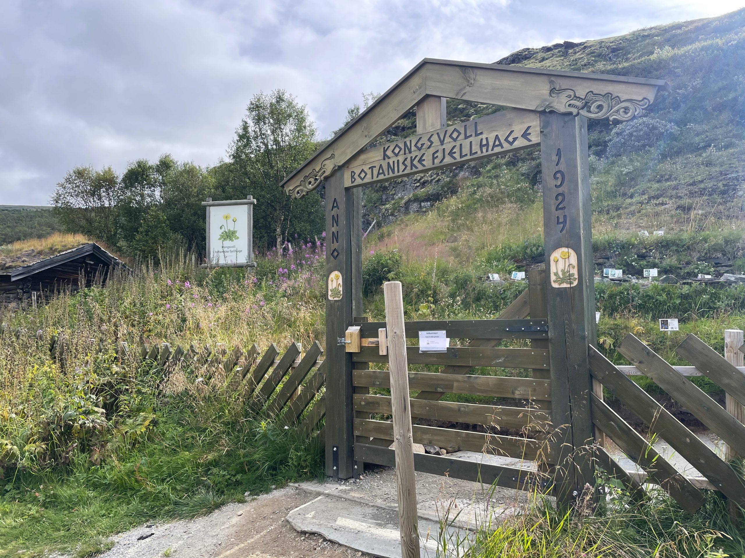
- The entrance to the botanical gardens
-
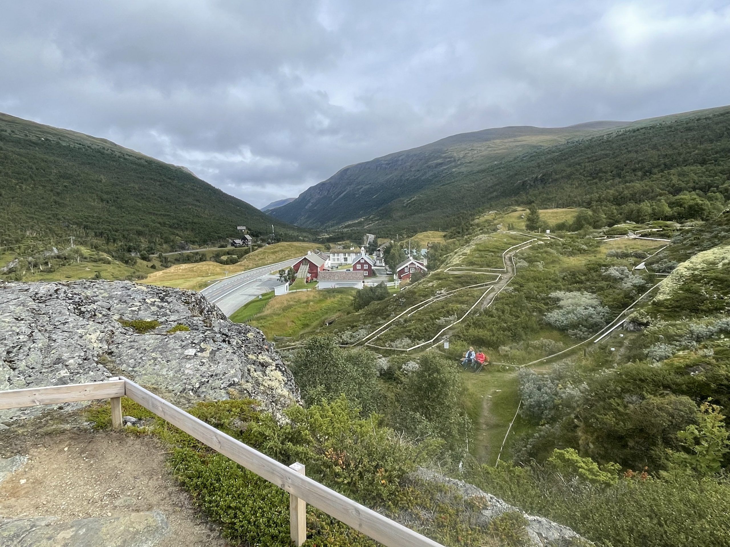
- View from the top
We always wonder what plants we’re seeing when we’re out on walks. Of course we’ve now forgotten 90% of what we found out. But some of it has lodged in our brains for future walks. We were struck by the numbers of different willows that grow in the cold climate and poor soil, we always associate willows with large trees drooping their branches into rivers, not scrubby bushes clinging to rock and peat. And of course the varieties of lichens from spongy to flat rock huggers.
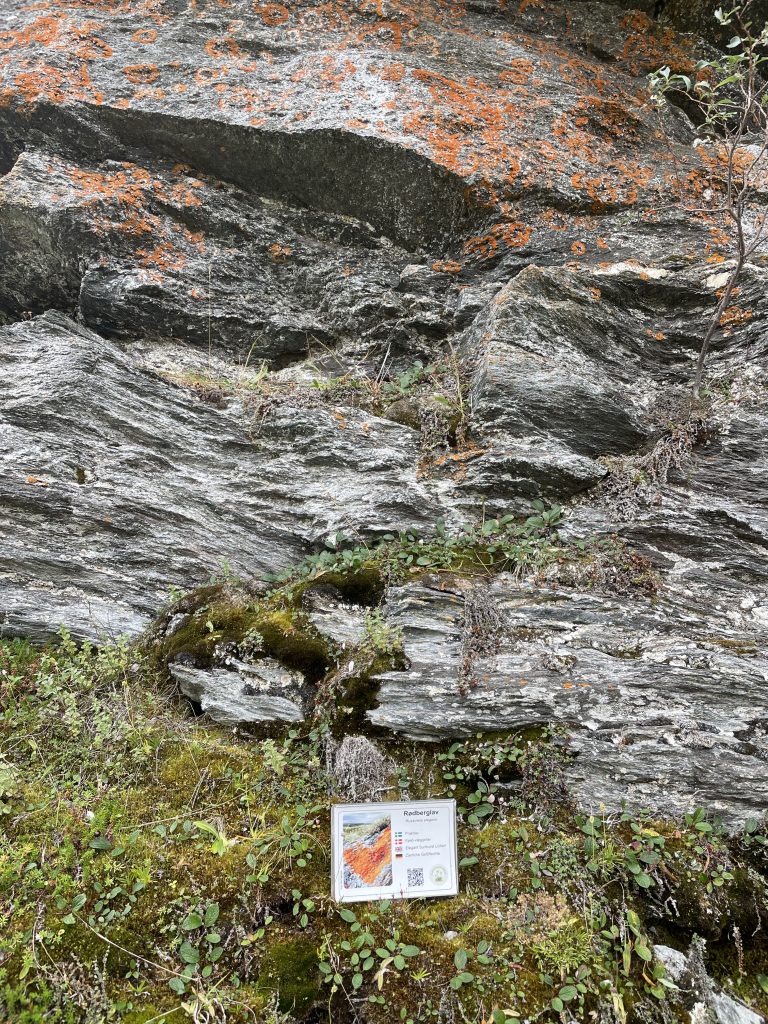
This was our favourite lichen – the bright orange ‘Elegant Sunburst’
Waterfalls
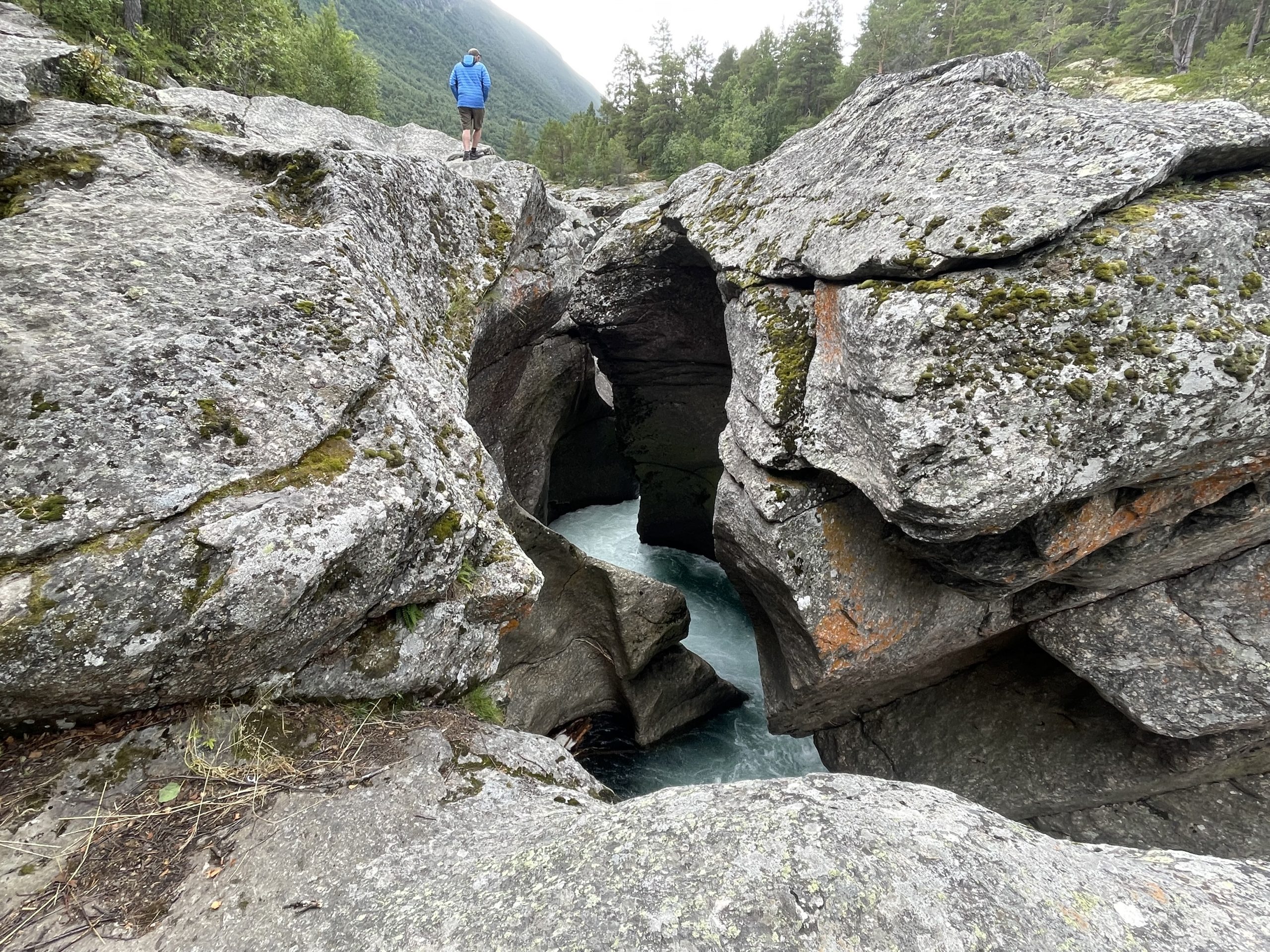
Our next tourist opportunity was Magalaupet, which, according to Google Translate, seems to translate literally as ‘Stomachache’. Given the way the water gurgles and swishes around I can see the similarity.
This is a slot canyon where glaciers once carved deep smooth sided holes into the underlying stone. Now the river has established a course between these holes, rushing through the narrow spaces. It’s definitely worth a stop and is only a few minutes walk from the car park.
-
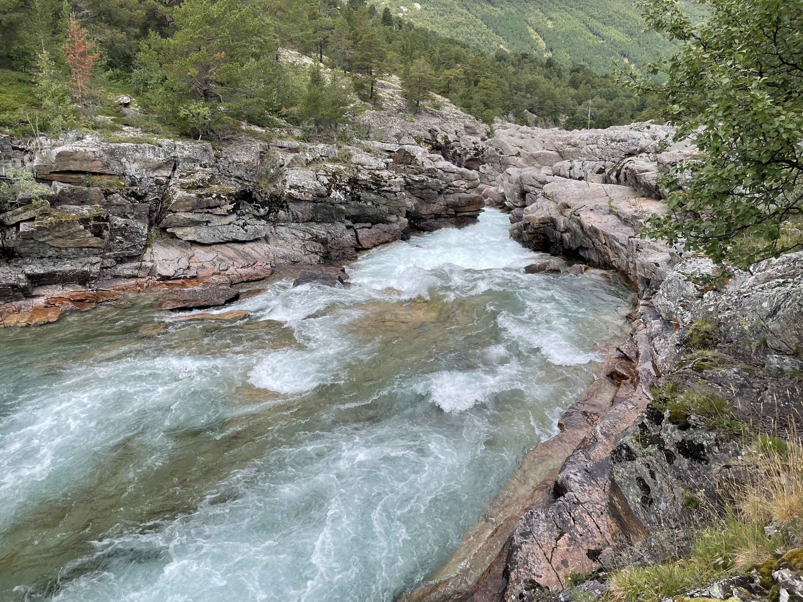
- Water entering the canyon
-
- Narrow canyon walls
The car park is of interest because it’s the first place we’ve needed to use cash to pay. There is a payment app used by most Norwegians called VIPPS. Some places (like this car park) are only able to take electronic payment using VIPPS and unless you have a Norwegian bank account that’s impossible. We had to pay in Euros because we hadn’t taken any cash out. We made a note to so so at the next opportunity.
Oppdal
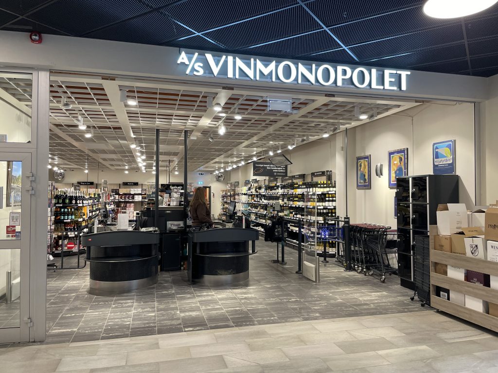
We stopped in Oppdal to try to find the tourist office and a promised map of mountain bike routes. The rain was pouring down now so we didn’t enjoy traipsing around on our search, especially when both locations on google maps had no sign of a tourist office. We did find a shopping mall where we could dry out though and in there our very first Vinmonopolet – the goverment run shops which are the only places that can sell alcohol of over 4.7%.
We didn’t buy anything here. We’re trying to avoid the expense – how long will we last?
After wandering through the streets by the station and the centre of town we returned to the van and thought we’d see if the ski centre had any tourist info. We weren’t very hopeful as nothing else seemed to be open, but even if we couldn’t find any info maybe we could park up and design a route of our own. Or just park up and sit in the van out of the rain (a bike ride felt less appealing by each drizzle soaked moment). When we got up to the ski resort there were plentiful ‘No Camping’ signs so we decided to move on. All thoughts of a bike ride were cancelled and we just wanted somewhere to settle for overnight.
So sadly Oppdal did not go down as one of our favourite places.
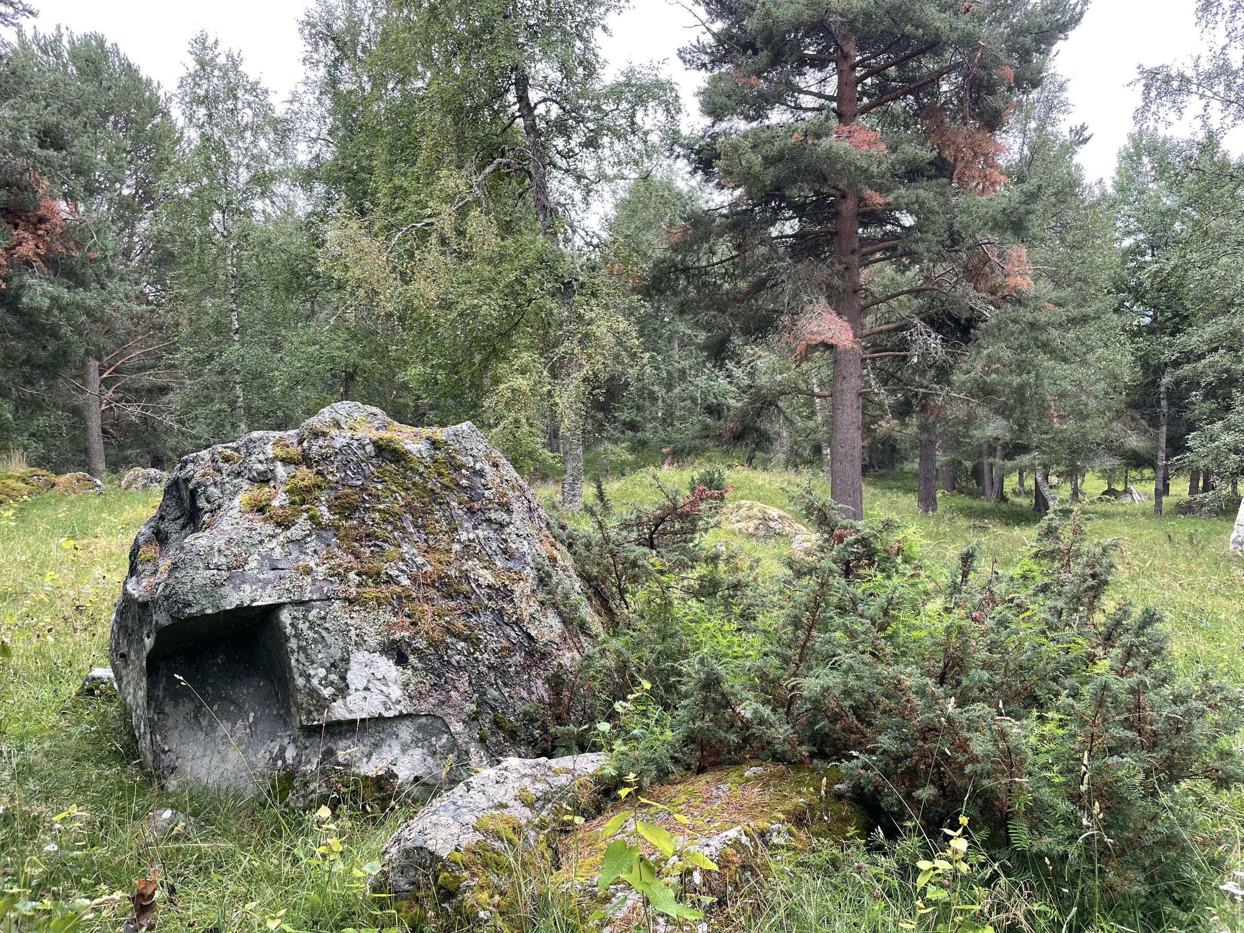
Vangfeltet
On the way downhill from the ski centre I suggested to Paul that we find a car park and make a cuppa. The traditional way for any British person to gee themselves up.
We parked up (by some more No Camping signs) next to a very modern looking shelter where a couple of through hikers were drying out themselves and their tent. I immediately felt less despondent about our situation. There is nothing like a bedraggled hiker to make your realise that life in a motorhome is pretty luxurious.
While the kettle was on I popped out to take a look at the shelter and see if the hikers wanted tea (they were already boiling their own water for pot noodles).
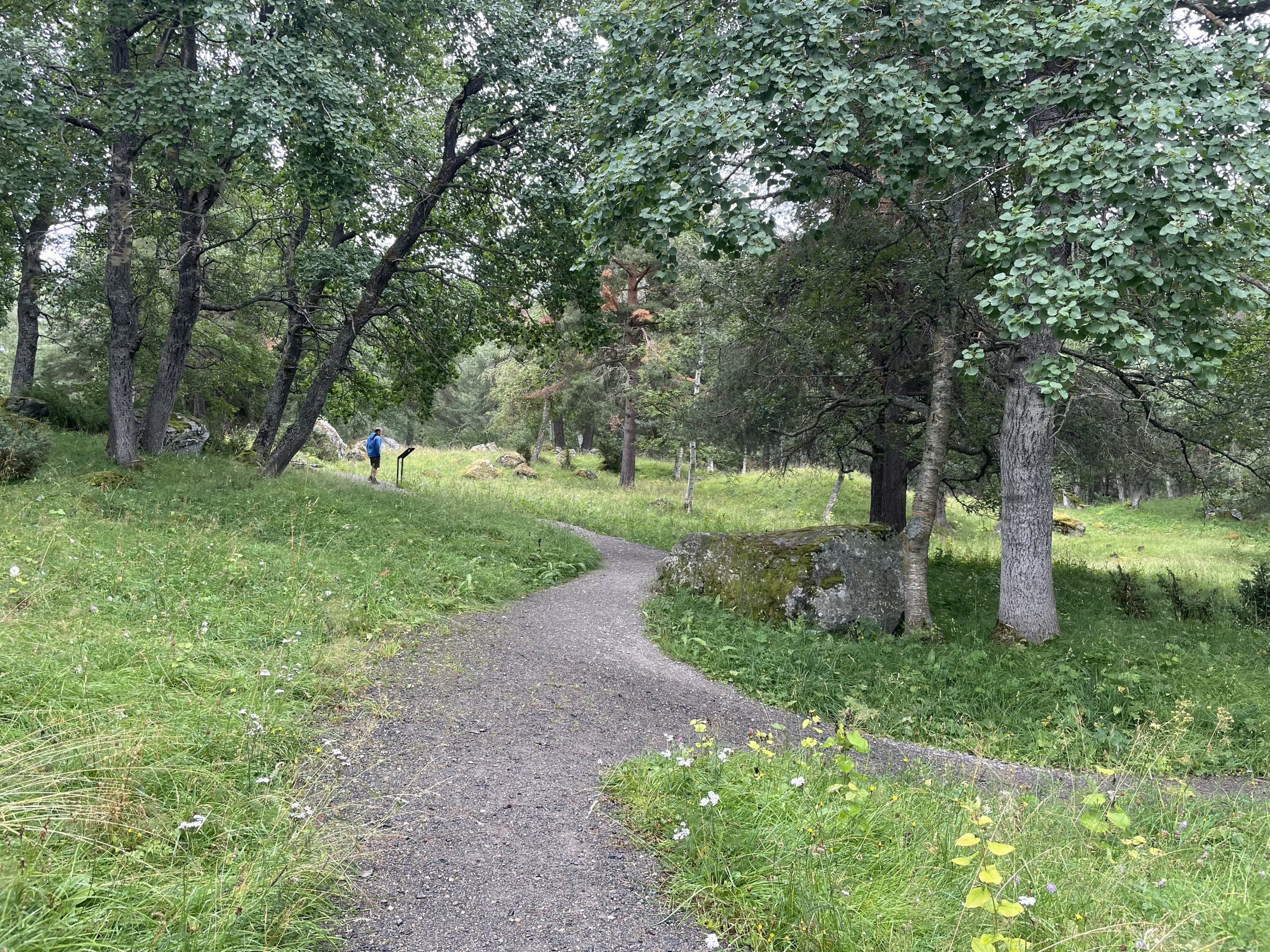
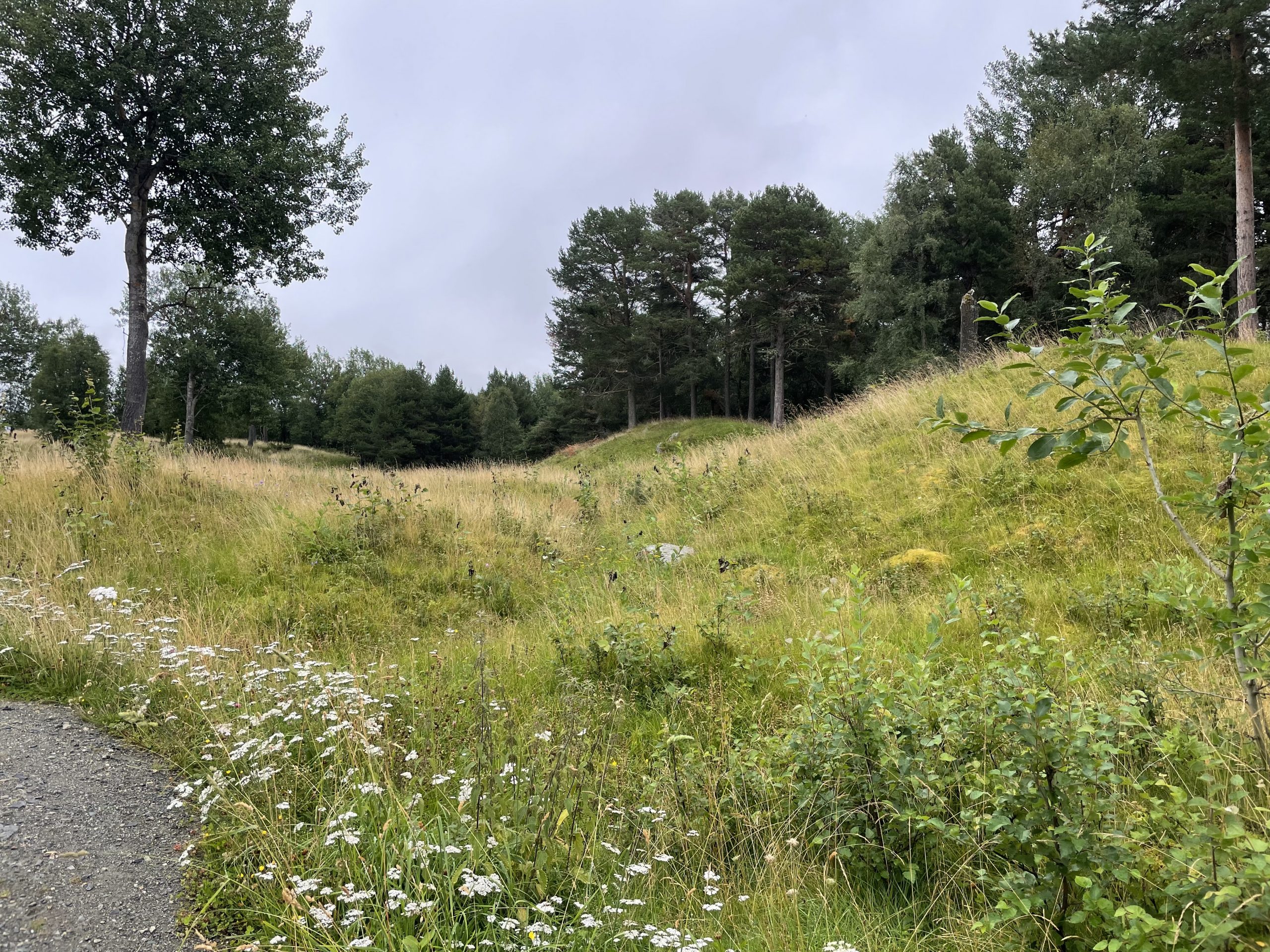
I hadn’t realised that this was the site of an Iron Age burial ground. The largest in Norway, with over 900 burials, cairns and mounds. It has burials of the Viking age and earlier and is one of three communal burial sites in Oppdal, which was at an important crossroads on trading routes. Around the site were sign boards describing some of the more important sites and the historical context.
Walking around this area, between the trees and mounds and next to the river, was quite magical. A goblin landscape of hollows and mists. We hadn’t expected to come here but it was a little gift after the disappointment of Oppdal.
Heading North to Orkanger
Reinforced by our tea we decided we might as well press on north while the weather was poor. We found a stopover about 120km away at a harbour. We blindly followed google maps which took us through the countryside rather than straight up the E6 trunk road. It was quite a pleasant drive even though it was drizzly throughout, and we stopped off a couple of times at lakes to admire the view.
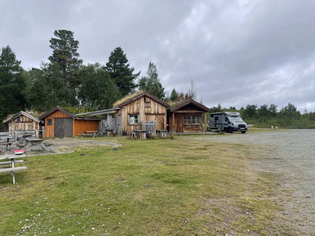
Stopping at what appears to be an abandoned campsite
We reached Orkanger in the early evening and parked up at the harbour where electric hook-up was provided for about 5 motorhomes. We paid our fee on the ‘Go Marina’ app, all very easy. There is a toilet for the use of visitors, and motorhome services a short drive away. We were alone until later that evening when an Italian family joined us.
We settled down to do not very much that evening, a short stroll along the harbour was enough for us to stretch out our legs. We did spot a noticeboard with a history trail though so we resolved to follow that trail the next morning before setting off for our next destination. The area seemed to be undergoing some work with new picnic areas and trails laid out but not yet finished.
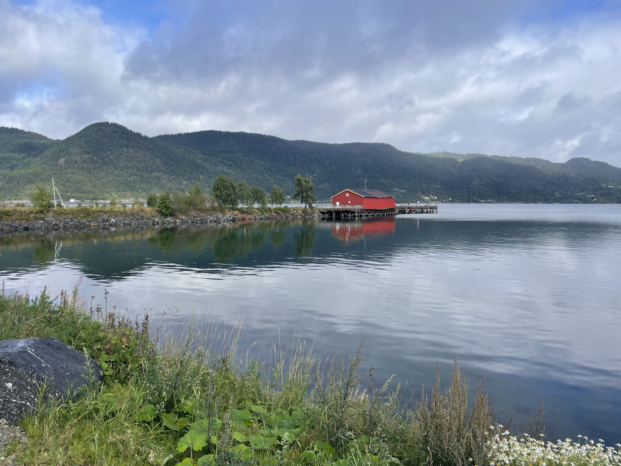
-
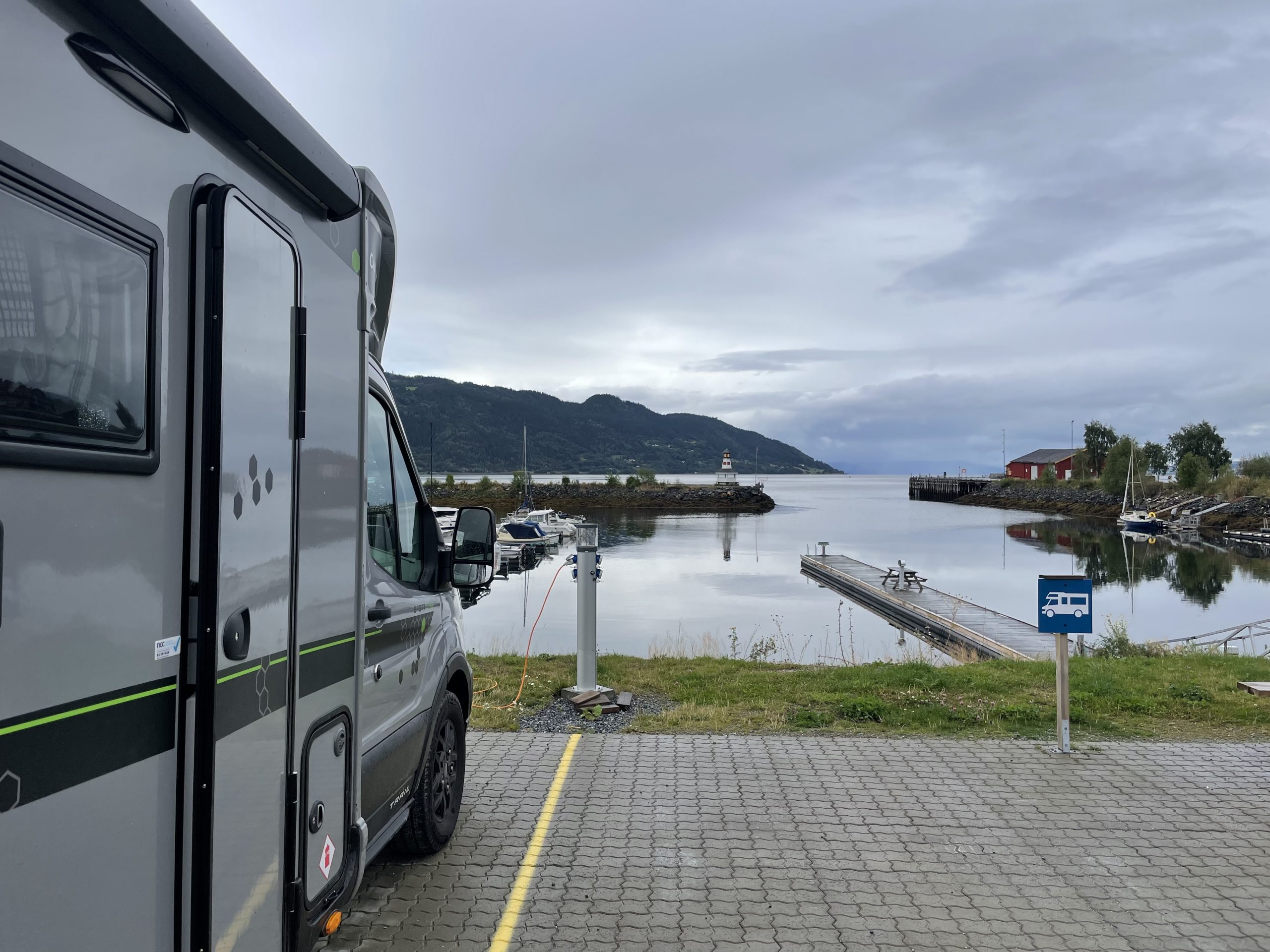
- Parked up on the harbour
-
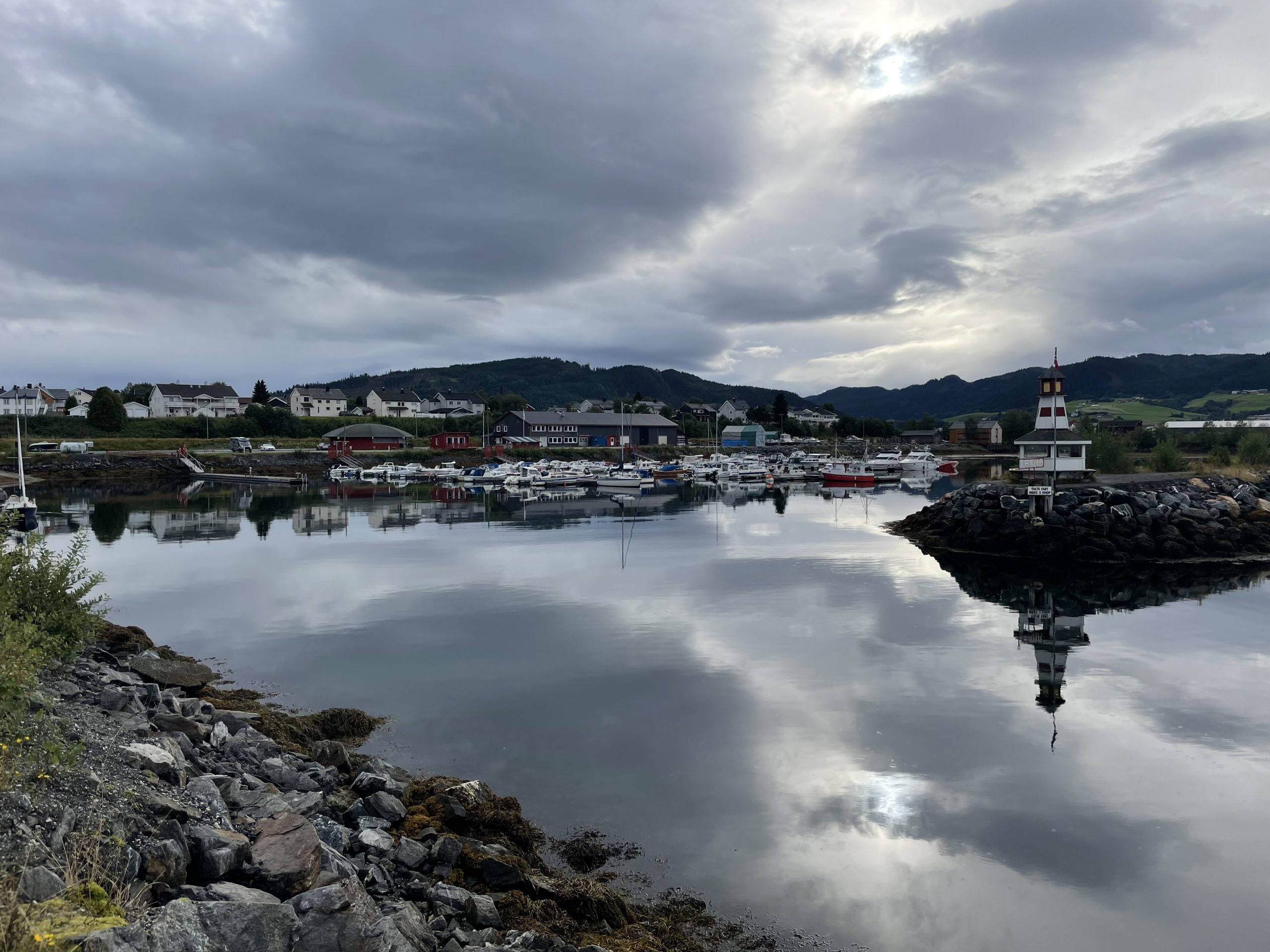
- Some nice reflections of the cloudy sky
-
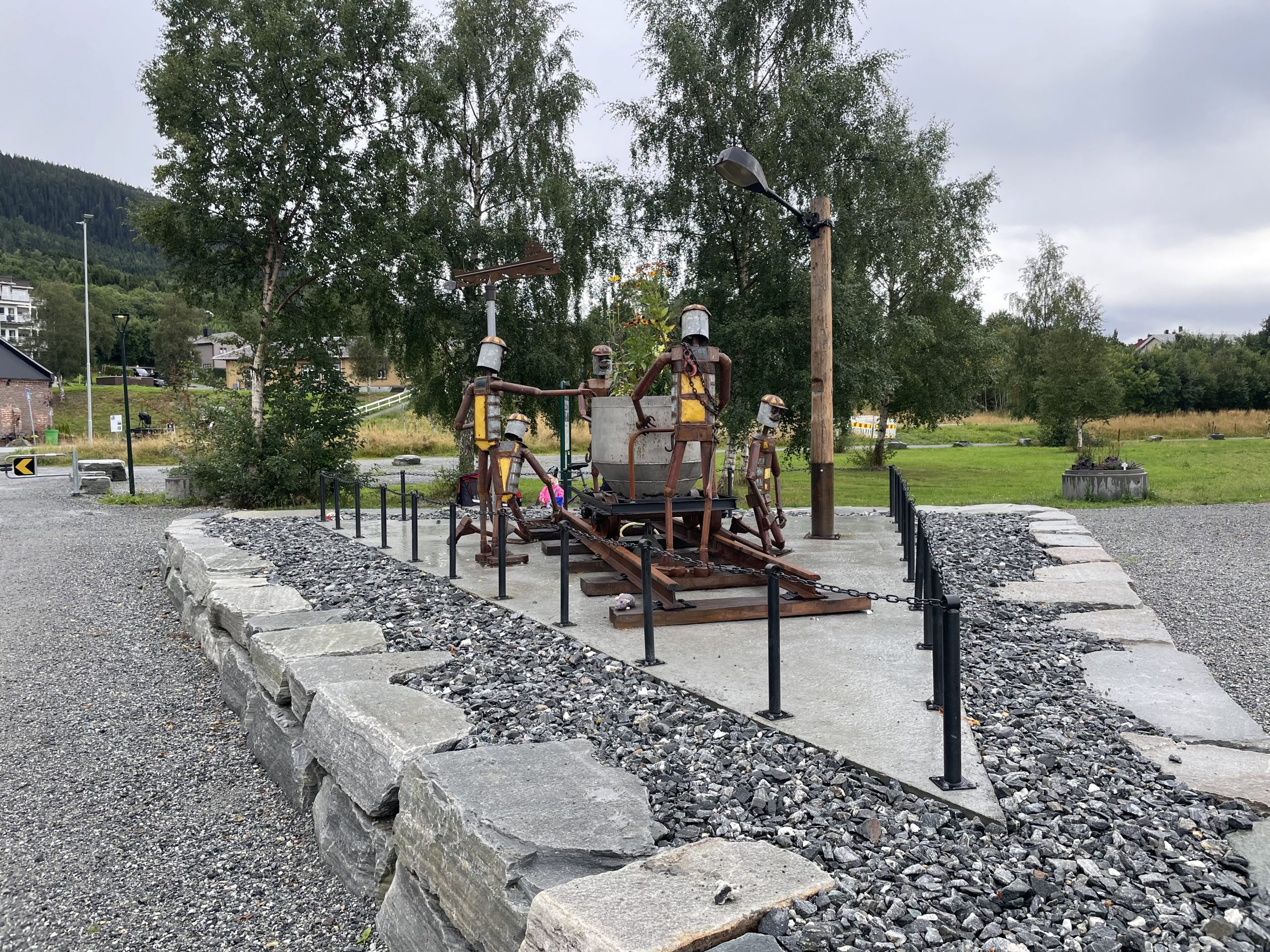
- An odd sculpture
-
- View from another angle after the clouds cleared
The history trail took us around the area behind the harbour where large 19th century wooden villas were evidence of the towns prosperity. The Thams family seem to have run this town, which was a small fishing and farming community before they started timber and mining operations. They were the driver behind the creation of the industrial harbour (Thamshavn – not at all self-aggrandising) to allow steamships to dock, and the introduction of the Thamshavn railway line – the first electric railway in Norway which is still used as a tourist line.
-
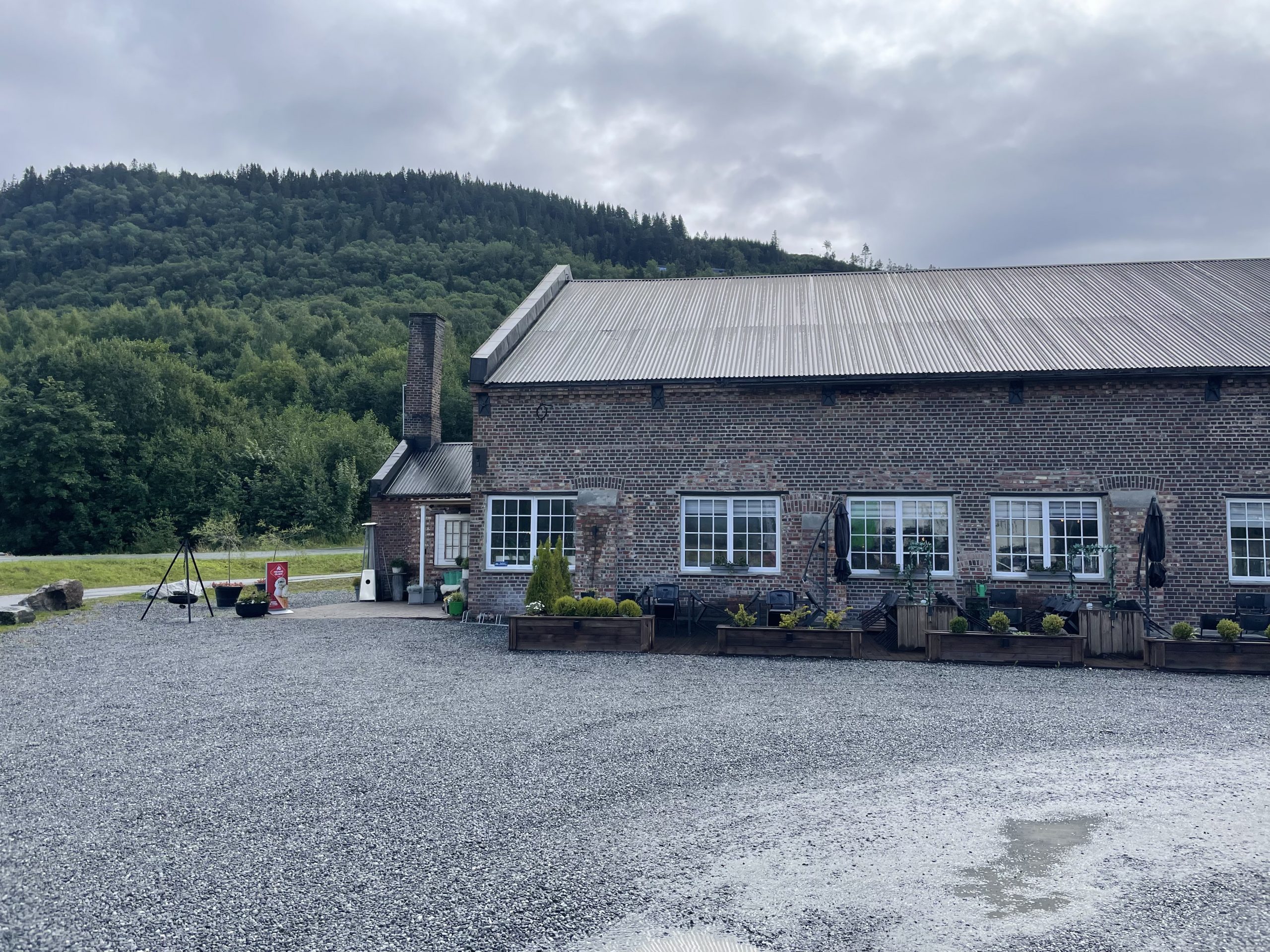
- Engine house for the steam engine bought in from the UK to run the sawmill
-
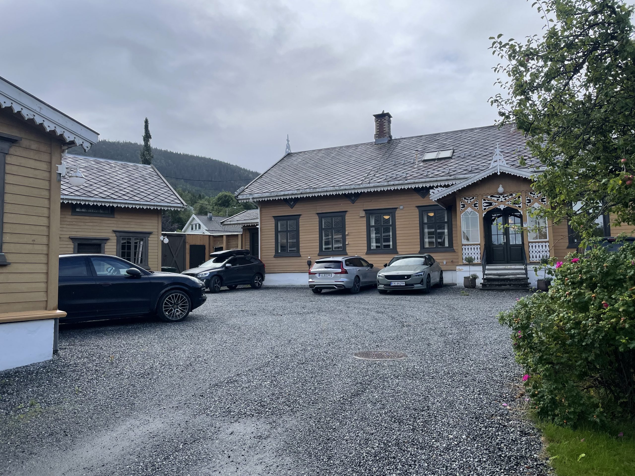
- Thams family villa
-
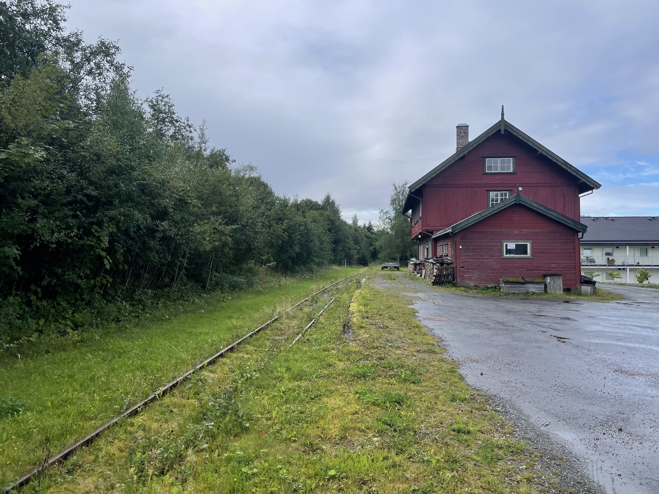
- Station on the railway line, no longer in use
In hindsight we wished we had also made an effort to visit the Norway Building, which Norway’s contribution to the Chicago Worlds Fair and was inspired by Norwegian stave churches. It hasn’t long been returned to Norway and looks very impressive in photos.